7419 Coder Rd Maumee, OH 43537
Estimated Value: $469,000 - $979,434
5
Beds
5
Baths
5,697
Sq Ft
$136/Sq Ft
Est. Value
About This Home
This home is located at 7419 Coder Rd, Maumee, OH 43537 and is currently estimated at $776,145, approximately $136 per square foot. 7419 Coder Rd is a home located in Lucas County with nearby schools including Anthony Wayne High School, Ohio Digital Learning School, and St. Joan of Arc School.
Ownership History
Date
Name
Owned For
Owner Type
Purchase Details
Closed on
Oct 29, 2019
Sold by
Mcnamara Patrick Thomas and Savage Mcnamara Patricia
Bought by
Savage Mcnamara Patricia M and Savage Mcnamara Patricia M
Current Estimated Value
Purchase Details
Closed on
Sep 10, 2001
Sold by
Troy Langenderfer
Bought by
Mcnamara Patrick Thomas and Savage Mcnamara Patricia
Home Financials for this Owner
Home Financials are based on the most recent Mortgage that was taken out on this home.
Original Mortgage
$92,000
Outstanding Balance
$34,763
Interest Rate
7.03%
Estimated Equity
$741,382
Purchase Details
Closed on
Aug 10, 1999
Sold by
Schoen Susan and Schoen James C
Bought by
Langenderfer Troy and Langenderfer Stacy
Purchase Details
Closed on
Oct 19, 1993
Sold by
Braun Robert E and Braun Patricia
Create a Home Valuation Report for This Property
The Home Valuation Report is an in-depth analysis detailing your home's value as well as a comparison with similar homes in the area
Home Values in the Area
Average Home Value in this Area
Purchase History
| Date | Buyer | Sale Price | Title Company |
|---|---|---|---|
| Savage Mcnamara Patricia M | -- | None Available | |
| Mcnamara Patrick Thomas | $95,000 | -- | |
| Langenderfer Troy | $71,900 | Louisville Title Agency For | |
| -- | $41,000 | -- |
Source: Public Records
Mortgage History
| Date | Status | Borrower | Loan Amount |
|---|---|---|---|
| Open | Mcnamara Patrick Thomas | $92,000 |
Source: Public Records
Tax History
| Year | Tax Paid | Tax Assessment Tax Assessment Total Assessment is a certain percentage of the fair market value that is determined by local assessors to be the total taxable value of land and additions on the property. | Land | Improvement |
|---|---|---|---|---|
| 2025 | -- | $265,265 | $68,145 | $197,120 |
| 2024 | $6,711 | $265,265 | $68,145 | $197,120 |
| 2023 | $11,006 | $194,635 | $52,850 | $141,785 |
| 2022 | $11,089 | $194,635 | $52,850 | $141,785 |
| 2021 | $10,863 | $194,635 | $52,850 | $141,785 |
| 2020 | $10,959 | $176,260 | $46,830 | $129,430 |
| 2019 | $10,127 | $160,790 | $46,830 | $113,960 |
| 2018 | $10,082 | $160,790 | $46,830 | $113,960 |
| 2017 | $9,946 | $147,630 | $35,245 | $112,385 |
| 2016 | $9,853 | $421,800 | $100,700 | $321,100 |
| 2015 | $9,454 | $421,800 | $100,700 | $321,100 |
| 2014 | $8,906 | $143,330 | $34,230 | $109,100 |
| 2013 | $8,906 | $143,330 | $34,230 | $109,100 |
Source: Public Records
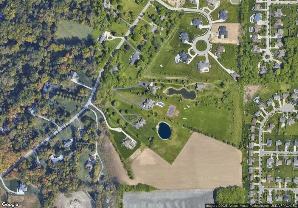
Map
Nearby Homes
- 4321 Post Office Cir
- 4334 Post Office Cir
- 3962 Secluded Ravine Ct
- 4346 Post Office Cir
- 4369 Post Office Cir
- 4351 Sage St
- 4339 Sage St
- 3813 Timber Valley Dr
- 4455 Post Office Cir
- 4417 Clearwater Dr E
- 7522 Maumee Western Rd Unit 9
- 7512 Maumee Western Rd Unit 10
- 7632 Maumee Western Rd Unit 2
- 3556 Stillwater Blvd
- 4226 Back Ridge Way
- 7455 Valhalla Dr
- 4736 Lakeside Dr
- 4731 Lakeside Dr
- 7508 Epaulet Ln
- 4745 Lakeside Dr
Your Personal Tour Guide
Ask me questions while you tour the home.