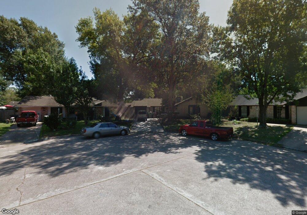
7419 Mosewood St Houston, TX 77040
Greater Inwood NeighborhoodEstimated Value: $186,955 - $209,000
3
Beds
2
Baths
1,220
Sq Ft
$160/Sq Ft
Est. Value
About This Home
This home is located at 7419 Mosewood St, Houston, TX 77040 and is currently estimated at $194,989, approximately $159 per square foot. 7419 Mosewood St is a home located in Harris County with nearby schools including Edward a Vines EC/Pre-K/K School, Ermel Elementary School, and Dr. Viola K. Garcia Middle School.
Ownership History
Date
Name
Owned For
Owner Type
Purchase Details
Closed on
Apr 16, 1999
Sold by
Weiser Marilee A and Fisher Marilee A
Bought by
Flores Juan
Current Estimated Value
Home Financials for this Owner
Home Financials are based on the most recent Mortgage that was taken out on this home.
Original Mortgage
$58,200
Outstanding Balance
$14,885
Interest Rate
7.16%
Estimated Equity
$180,104
Create a Home Valuation Report for This Property
The Home Valuation Report is an in-depth analysis detailing your home's value as well as a comparison with similar homes in the area
Home Values in the Area
Average Home Value in this Area
Purchase History
| Date | Buyer | Sale Price | Title Company |
|---|---|---|---|
| Flores Juan | -- | Stewart Title |
Source: Public Records
Mortgage History
| Date | Status | Borrower | Loan Amount |
|---|---|---|---|
| Open | Flores Juan | $58,200 |
Source: Public Records
Tax History Compared to Growth
Tax History
| Year | Tax Paid | Tax Assessment Tax Assessment Total Assessment is a certain percentage of the fair market value that is determined by local assessors to be the total taxable value of land and additions on the property. | Land | Improvement |
|---|---|---|---|---|
| 2025 | $464 | $188,958 | $40,122 | $148,836 |
| 2024 | $464 | $181,470 | $38,211 | $143,259 |
| 2023 | $464 | $179,998 | $38,211 | $141,787 |
| 2022 | $3,436 | $148,033 | $32,480 | $115,553 |
| 2021 | $3,272 | $130,245 | $32,480 | $97,765 |
| 2020 | $3,174 | $120,254 | $15,921 | $104,333 |
| 2019 | $3,039 | $109,824 | $15,921 | $93,903 |
| 2018 | $1,098 | $102,247 | $15,921 | $86,326 |
| 2017 | $2,446 | $102,247 | $15,921 | $86,326 |
| 2016 | $2,224 | $89,910 | $15,921 | $73,989 |
| 2015 | $1,470 | $86,323 | $15,921 | $70,402 |
| 2014 | $1,470 | $73,977 | $15,921 | $58,056 |
Source: Public Records
Map
Nearby Homes
- 9331 Deanwood St
- 7318 Shady Grove Ln
- 7718 Breezeway St
- 9350 Guywood St
- 7259 Shady Arbor Ln
- 9523 Vanwood St
- 9207 Loren Ln
- 7731 Deadwood Dr
- 7706 Deadwood Dr
- 7218 Stonegate Dr
- 9214 Woodland Oaks Dr
- 7051 Majestic Oaks Dr
- 8615 Black Tern Ln
- 8007 E Oakwood Ct
- 7606 Battlepine Dr
- 7911 Battleoak Dr
- 8020 Oakwood Forest Dr
- 6902 Anson Point Ln
- 7918 Battleoak Dr
- 8610 Twillingate Ln
- 9302 Deanwood St
- 7423 Mosewood St
- 7418 Breezeway St
- 7414 Breezeway St
- 9231 Vanwood St
- 7422 Breezeway St
- 9306 Deanwood St
- 7427 Mosewood St
- 7410 Breezeway St
- 7426 Breezeway St
- 9307 Vanwood St
- 9310 Deanwood St
- 7431 Mosewood St
- 9307 Deanwood St
- 7430 Breezeway St
- 9311 Vanwood St
- 9314 Deanwood St
- 9311 Deanwood St
- 7419 Breezeway St
- 7415 Breezeway St