7419 NW Cornell Rd Portland, OR 97229
Forest Park NeighborhoodEstimated Value: $1,060,853 - $1,378,000
3
Beds
4
Baths
2,660
Sq Ft
$458/Sq Ft
Est. Value
About This Home
This home is located at 7419 NW Cornell Rd, Portland, OR 97229 and is currently estimated at $1,219,427, approximately $458 per square foot. 7419 NW Cornell Rd is a home located in Multnomah County with nearby schools including Forest Park Elementary School, Lincoln High School, and French International School of Oregon.
Ownership History
Date
Name
Owned For
Owner Type
Purchase Details
Closed on
Jan 31, 2023
Sold by
Debolt William L
Bought by
William L Debolt And Martha S Graner Trust
Current Estimated Value
Purchase Details
Closed on
Dec 9, 1998
Sold by
King Arthur E
Bought by
Debolt William L and Graner Martha A
Home Financials for this Owner
Home Financials are based on the most recent Mortgage that was taken out on this home.
Original Mortgage
$240,000
Interest Rate
6.78%
Create a Home Valuation Report for This Property
The Home Valuation Report is an in-depth analysis detailing your home's value as well as a comparison with similar homes in the area
Home Values in the Area
Average Home Value in this Area
Purchase History
| Date | Buyer | Sale Price | Title Company |
|---|---|---|---|
| William L Debolt And Martha S Graner Trust | -- | -- | |
| Debolt William L | $400,000 | Chicago Title |
Source: Public Records
Mortgage History
| Date | Status | Borrower | Loan Amount |
|---|---|---|---|
| Previous Owner | Debolt William L | $240,000 |
Source: Public Records
Tax History Compared to Growth
Tax History
| Year | Tax Paid | Tax Assessment Tax Assessment Total Assessment is a certain percentage of the fair market value that is determined by local assessors to be the total taxable value of land and additions on the property. | Land | Improvement |
|---|---|---|---|---|
| 2025 | $16,625 | $617,580 | -- | -- |
| 2024 | $16,028 | $599,600 | -- | -- |
| 2023 | $15,411 | $582,140 | $0 | $0 |
| 2022 | $15,078 | $565,190 | $0 | $0 |
| 2021 | $14,452 | $548,730 | $0 | $0 |
| 2020 | $12,528 | $532,750 | $0 | $0 |
| 2019 | $12,430 | $517,240 | $0 | $0 |
| 2018 | $12,635 | $502,180 | $0 | $0 |
| 2017 | $12,183 | $487,560 | $0 | $0 |
| 2016 | $10,699 | $473,360 | $0 | $0 |
| 2015 | $9,750 | $459,580 | $0 | $0 |
| 2014 | $9,124 | $446,200 | $0 | $0 |
Source: Public Records
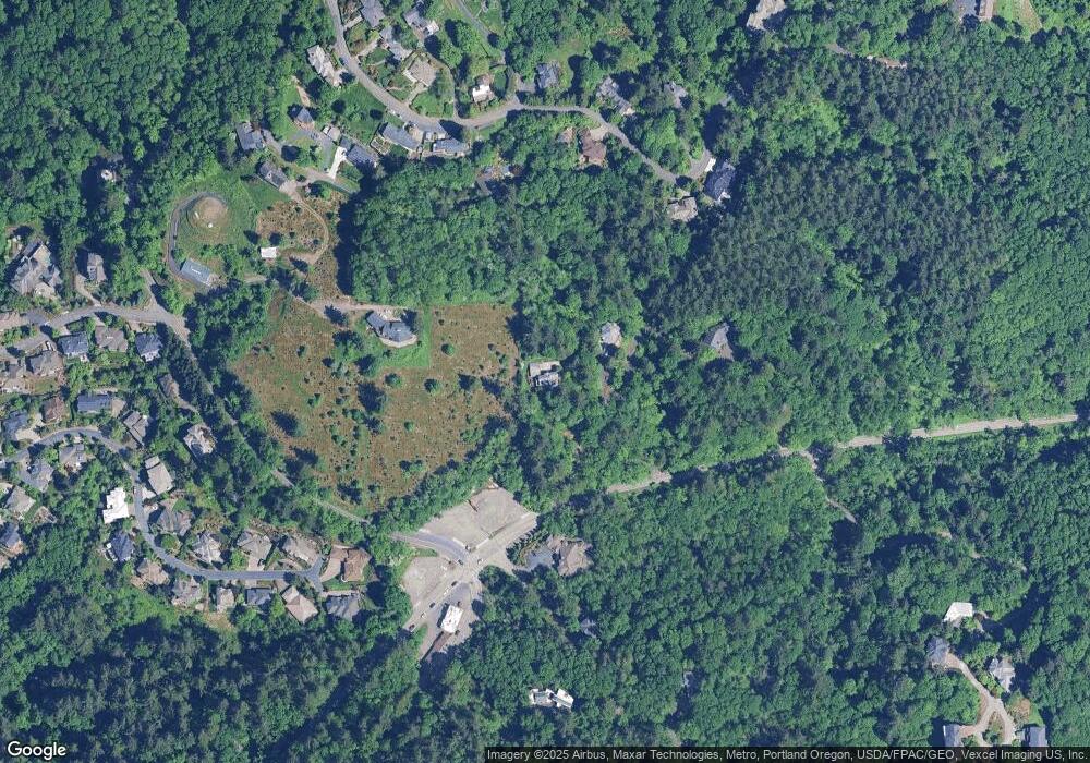
Map
Nearby Homes
- 7717 NW Blue Pointe Ln
- 0 NW Summitview Dr Unit 24037741
- 0 NW Ramsey Crest Dr
- 1033 NW Eloise Ln
- 1917 NW Tivoli Ln
- 7910 NW Gales Ridge Ln
- 7908 NW Gales Ridge Ln
- 1109 NW Frazier Ct
- 7307 NW Penridge Rd
- 1815 NW Rosefinch Ln
- 637 NW Skyline Crest Rd
- 8049 NW Prominence Ct
- 7915 NW Gales Ridge Ln
- 0 NW 83rd Place
- 8601 NW Hazeltine St
- 8316 NW Reed Dr
- 370 NW 81st Place
- 6920 NW Thompson Rd
- 1615 NW Barnsley Ct
- 0 W Side 841 Nw Greenlea Rd Unit 24522408
- 7405 NW Cornell Rd
- 1252 NW Greenleaf Rd
- 7323 NW Cornell Rd
- 1600 NW Skyline Blvd
- 1620 NW Walmer Dr
- 7314 NW Summitview Dr
- 7420 NW Summitview Dr
- 7621 NW Blue Pointe Ln
- 1831 NW Ramsey Dr
- 1724 NW Walmer Dr
- 7240 NW Summitview Dr
- 7618 NW Blue Pointe Ln
- 1109 NW Greenleaf Rd
- 7639 NW Blue Pointe Ln
- 1855 NW Ramsey Dr
- 7341 NW Summitview Dr
- 1820 NW Ramsey Dr
- 1817 NW Ramsey Dr
- 7636 NW Pls Do Not Call
- 7636 NW Blue Pointe Ln