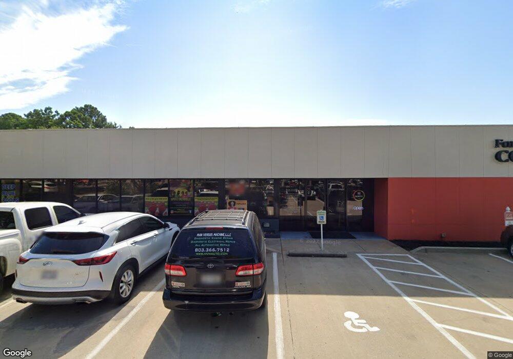
742 Anderson Rd N Rock Hill, SC 29730
--
Bed
--
Bath
10,094
Sq Ft
3.42
Acres
About This Home
This home is located at 742 Anderson Rd N, Rock Hill, SC 29730. 742 Anderson Rd N is a home located in York County with nearby schools including Northside Elementary School of The Arts, W.C. Sullivan Middle School, and Rock Hill High School.
Ownership History
Date
Name
Owned For
Owner Type
Purchase Details
Closed on
Sep 12, 2025
Sold by
742 North Anderson Llc
Bought by
Adult Enrichment Centers Inc
Home Financials for this Owner
Home Financials are based on the most recent Mortgage that was taken out on this home.
Original Mortgage
$741,767
Outstanding Balance
$741,767
Interest Rate
6.72%
Mortgage Type
Credit Line Revolving
Purchase Details
Closed on
Jan 1, 2020
Sold by
196 Plaza Llc
Bought by
742 North Anderson Llc
Create a Home Valuation Report for This Property
The Home Valuation Report is an in-depth analysis detailing your home's value as well as a comparison with similar homes in the area
Home Values in the Area
Average Home Value in this Area
Purchase History
| Date | Buyer | Sale Price | Title Company |
|---|---|---|---|
| Adult Enrichment Centers Inc | $1,345,000 | None Listed On Document | |
| 742 North Anderson Llc | -- | None Available |
Source: Public Records
Mortgage History
| Date | Status | Borrower | Loan Amount |
|---|---|---|---|
| Open | Adult Enrichment Centers Inc | $741,767 |
Source: Public Records
Tax History Compared to Growth
Tax History
| Year | Tax Paid | Tax Assessment Tax Assessment Total Assessment is a certain percentage of the fair market value that is determined by local assessors to be the total taxable value of land and additions on the property. | Land | Improvement |
|---|---|---|---|---|
| 2024 | $17,395 | $47,244 | $13,080 | $34,164 |
| 2023 | $17,518 | $47,244 | $13,080 | $34,164 |
| 2022 | $16,488 | $47,244 | $13,080 | $34,164 |
| 2021 | -- | $47,244 | $13,080 | $34,164 |
| 2020 | $15,912 | $47,244 | $0 | $0 |
| 2019 | $15,057 | $43,380 | $0 | $0 |
| 2018 | $18,043 | $52,974 | $0 | $0 |
| 2017 | $17,248 | $52,974 | $0 | $0 |
| 2016 | $16,814 | $52,974 | $0 | $0 |
| 2014 | $15,117 | $52,974 | $13,080 | $39,894 |
| 2013 | $15,117 | $50,340 | $13,080 | $37,260 |
Source: Public Records
Map
Nearby Homes
- 772 Nations Ct
- 611 Greenbriar Ave
- 2135 Eden Terrace
- 876 Kentwood Dr
- 873 Kentwood Dr
- 1838 Townes Ct
- 591 Rabun Cir
- 2335 Blossom Dr
- 1638 Pineburr Ln
- 742 Norwood Ave
- 2236 Myers St
- 2246 Myers St
- 1155 Cedar Grove Ln
- 1755 Bird St
- 1508 Eden Terrace
- 1811 Charter Dr
- 1319 Mount Gallant Rd
- 622 University Dr
- 744 University Dr
- 1505 Tuckers Glenn Dr
- 788 N Anderson Rd
- 701 Anderson Rd N
- 00 Nations Ford Rd Unit 1B
- 0.927 Ac Nations Ford Rd
- 704 Mount Gallant Rd
- 714 Nations Ct Unit 13
- 00 Blossom Dr
- 707 Nations Ct
- 719 Mount Gallant Rd
- 727 Mount Gallant Rd
- 733 Mount Gallant Rd
- 733 Mount Gallant Rd Unit 26
- 637 Anderson Rd Unit A
- 637 Anderson Rd
- 637A Anderson Rd Unit A
- 720 Nations Ct Unit 14
- 741 Mount Gallant Rd
- 713 Nations Ct
- 2209 Blossom Dr
- 722 Nations Ct