742 Anderson Thomas Rd Martin, GA 30557
Estimated Value: $59,987 - $219,000
--
Bed
--
Bath
--
Sq Ft
3.8
Acres
About This Home
This home is located at 742 Anderson Thomas Rd, Martin, GA 30557 and is currently estimated at $158,329. 742 Anderson Thomas Rd is a home with nearby schools including Stephens County High School, Shepherds Hill Academy, and Shepherd's Hill Academy.
Ownership History
Date
Name
Owned For
Owner Type
Purchase Details
Closed on
Nov 5, 2020
Sold by
Embry Trace
Bought by
Embry Andrew and Embry Karla
Current Estimated Value
Purchase Details
Closed on
Feb 4, 2019
Sold by
Purcell Steven
Bought by
Embry Trace and Embry Beth
Purchase Details
Closed on
Sep 7, 2018
Sold by
Segars Charles Larry
Bought by
Purcell Steven and Purcell Kelsey
Home Financials for this Owner
Home Financials are based on the most recent Mortgage that was taken out on this home.
Original Mortgage
$26,000
Interest Rate
4.5%
Mortgage Type
New Conventional
Purchase Details
Closed on
Mar 1, 1994
Bought by
Segars Charles Larry
Purchase Details
Closed on
Jan 1, 1986
Bought by
<Buyer Info Not Present>
Create a Home Valuation Report for This Property
The Home Valuation Report is an in-depth analysis detailing your home's value as well as a comparison with similar homes in the area
Home Values in the Area
Average Home Value in this Area
Purchase History
| Date | Buyer | Sale Price | Title Company |
|---|---|---|---|
| Embry Andrew | -- | -- | |
| Embry Trace | $30,000 | -- | |
| Purcell Steven | $28,500 | -- | |
| Segars Charles Larry | $9,500 | -- | |
| <Buyer Info Not Present> | $5,000 | -- |
Source: Public Records
Mortgage History
| Date | Status | Borrower | Loan Amount |
|---|---|---|---|
| Previous Owner | Purcell Steven | $26,000 |
Source: Public Records
Tax History Compared to Growth
Tax History
| Year | Tax Paid | Tax Assessment Tax Assessment Total Assessment is a certain percentage of the fair market value that is determined by local assessors to be the total taxable value of land and additions on the property. | Land | Improvement |
|---|---|---|---|---|
| 2024 | $205 | $6,744 | $6,384 | $360 |
| 2023 | $205 | $6,744 | $6,384 | $360 |
| 2022 | $201 | $6,744 | $6,384 | $360 |
| 2021 | $216 | $6,917 | $6,384 | $533 |
| 2020 | $294 | $9,296 | $8,081 | $1,215 |
| 2019 | $283 | $8,911 | $7,696 | $1,215 |
| 2018 | $262 | $8,249 | $7,696 | $553 |
| 2017 | -- | $8,249 | $7,696 | $553 |
| 2016 | $262 | $8,248 | $7,696 | $552 |
| 2015 | $274 | $8,248 | $7,696 | $552 |
| 2014 | $278 | $8,249 | $7,696 | $553 |
Source: Public Records
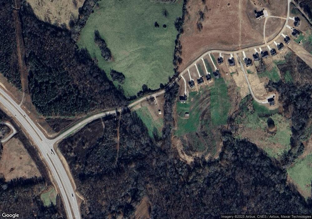
Map
Nearby Homes
- 387 Webb Rd Unit 3
- 353 Webb Rd Unit 2
- 1165 Anderson Thomas Rd Unit 4
- 339 Webb Rd Unit 1
- 2355 Price Rd
- 1380 Anderson Thomas Rd Unit 3
- 280 Grady Brock Rd Unit LOT 21
- 0 Anderson Thomas Rd Unit 10614737
- 0 Georgia 17
- 1873 Price Rd
- 22 Anderson Thomas Rd
- 0 Herron Rd Unit 14382283
- 1931 Seven Forks Rd Unit Tract 5B
- 1057 Pleasant Hill Cir
- 0 Commonwealth Unit Lot 9 & 10 CL339359
- 0 Commonwealth Unit LOT 9 & 10 10600825
- 919 Pleasant Hill Cir
- 0 Griffin Rd
- 1120 Combs Ave
- 0 Moonlight Dr Unit 10598549
- 932 Anderson Thomas Rd
- S Anderson Thomas Rd
- S Anderson Thomas Rd
- 1057 Anderson Thomas Rd
- 1175 Anderson Thomas Rd Unit 5
- 894 Oil Mill Rd
- 876 Oil Mill Rd
- 2200 Price Rd
- 1208 Anderson Thomas Rd Unit S3
- 1930 Price Rd
- 760 Oil Mill Rd
- 355 Stovall Blvd
- 307 Webb Rd
- 1931 Price Rd
- 00 Webb Rd
- 317 Stovall Blvd
- 384 Banks St
- 329 Stovall Blvd
- 265 Anderson Thomas Rd
- 295 Anderson Thomas Rd