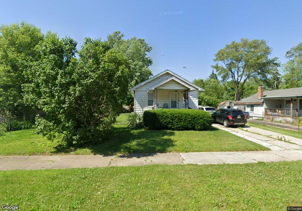
742 Crawford St Flint, MI 48507
South Side NeighborhoodEstimated Value: $44,000 - $57,000
2
Beds
1
Bath
764
Sq Ft
$67/Sq Ft
Est. Value
About This Home
This home is located at 742 Crawford St, Flint, MI 48507 and is currently estimated at $51,394, approximately $67 per square foot. 742 Crawford St is a home located in Genesee County with nearby schools including Neithercut Elementary School, Flint Southwestern Classical Academy, and International Academy of Flint (K-12).
Ownership History
Date
Name
Owned For
Owner Type
Purchase Details
Closed on
Mar 4, 2011
Sold by
Diamond Jack and Diamond Franklin J
Bought by
Jack Diamond Trust
Current Estimated Value
Purchase Details
Closed on
Dec 14, 2009
Sold by
Diamond Franklin J and Diamond Jack
Bought by
Diamond Franklin J and Diamond Jack
Purchase Details
Closed on
Jan 27, 2004
Sold by
White Barbara E and White Charles D
Bought by
Hawley Russell Alonzo and Hawley Patricia Ann
Purchase Details
Closed on
Jun 6, 2000
Sold by
Diamond Jack and Diamond Franklin J
Bought by
The Jack Diamond Trust
Create a Home Valuation Report for This Property
The Home Valuation Report is an in-depth analysis detailing your home's value as well as a comparison with similar homes in the area
Home Values in the Area
Average Home Value in this Area
Purchase History
| Date | Buyer | Sale Price | Title Company |
|---|---|---|---|
| Jack Diamond Trust | -- | None Available | |
| Diamond Franklin J | -- | Centennial Title & Abstract | |
| Hawley Russell Alonzo | $25,000 | -- | |
| Diamond Jack | $31,000 | -- | |
| The Jack Diamond Trust | -- | -- |
Source: Public Records
Tax History Compared to Growth
Tax History
| Year | Tax Paid | Tax Assessment Tax Assessment Total Assessment is a certain percentage of the fair market value that is determined by local assessors to be the total taxable value of land and additions on the property. | Land | Improvement |
|---|---|---|---|---|
| 2025 | $910 | $19,900 | $0 | $0 |
| 2024 | $849 | $17,700 | $0 | $0 |
| 2023 | $834 | $14,200 | $0 | $0 |
| 2022 | $0 | $12,900 | $0 | $0 |
| 2021 | $842 | $10,900 | $0 | $0 |
| 2020 | $780 | $9,200 | $0 | $0 |
| 2019 | $767 | $8,400 | $0 | $0 |
| 2018 | $745 | $7,500 | $0 | $0 |
| 2017 | $752 | $0 | $0 | $0 |
| 2016 | $748 | $0 | $0 | $0 |
| 2015 | -- | $0 | $0 | $0 |
| 2014 | -- | $0 | $0 | $0 |
| 2012 | -- | $10,400 | $0 | $0 |
Source: Public Records
Map
Nearby Homes
- 818 Alvord Ave
- 822 Campbell St
- 805 Alvord Ave
- 845 Alvord Ave
- 738 W Atherton Rd
- 829 Clinton St
- 647 Crawford St
- 727 Waldman Ave
- 631 Campbell St
- 627 Campbell St
- 652 Huron St
- 4418 Brunswick Ave
- 1028 Campbell St
- 805 Vermilya Ave
- 825 Vermilya Ave
- 1015 Alvord Ave
- 616 Pettibone Ave
- 936 Lincoln Ave
- 745 Freeman Ave
- 1031 Ingleside Ave
- 738 Crawford St
- 750 Crawford St
- 734 Crawford St
- 741 Leland St
- 745 Leland St
- 737 Leland St
- 749 Leland St
- 730 Crawford St
- 730 Crawford St
- 729 Leland St
- 741 Crawford St
- 745 Crawford St
- 737 Crawford St
- 749 Crawford St
- 726 Crawford St
- 733 Crawford St
- 802 Crawford St
- 801 Leland St
- 729 Crawford St
- 722 Crawford St