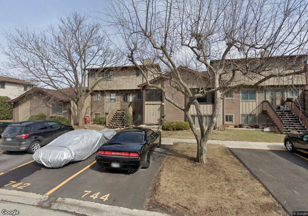
742 E Devon Ave Roselle, IL 60172
Estimated Value: $291,000 - $325,000
3
Beds
3
Baths
2,165
Sq Ft
$144/Sq Ft
Est. Value
About This Home
This home is located at 742 E Devon Ave, Roselle, IL 60172 and is currently estimated at $310,870, approximately $143 per square foot. 742 E Devon Ave is a home located in DuPage County with nearby schools including Medinah Primary School, Medinah Intermediate School, and Medinah Middle School.
Ownership History
Date
Name
Owned For
Owner Type
Purchase Details
Closed on
Nov 28, 1994
Sold by
Rich Joel M and Meyer Jackie A
Bought by
Barksdale George B and Barksdale Maria C
Current Estimated Value
Home Financials for this Owner
Home Financials are based on the most recent Mortgage that was taken out on this home.
Original Mortgage
$103,500
Interest Rate
9.06%
Create a Home Valuation Report for This Property
The Home Valuation Report is an in-depth analysis detailing your home's value as well as a comparison with similar homes in the area
Home Values in the Area
Average Home Value in this Area
Purchase History
| Date | Buyer | Sale Price | Title Company |
|---|---|---|---|
| Barksdale George B | $109,000 | Lawyers Title |
Source: Public Records
Mortgage History
| Date | Status | Borrower | Loan Amount |
|---|---|---|---|
| Closed | Barksdale George B | $103,500 |
Source: Public Records
Tax History
| Year | Tax Paid | Tax Assessment Tax Assessment Total Assessment is a certain percentage of the fair market value that is determined by local assessors to be the total taxable value of land and additions on the property. | Land | Improvement |
|---|---|---|---|---|
| 2024 | $5,122 | $88,201 | $15,429 | $72,772 |
| 2023 | $4,717 | $80,660 | $14,110 | $66,550 |
| 2022 | $4,831 | $80,120 | $14,020 | $66,100 |
| 2021 | $4,597 | $76,120 | $13,320 | $62,800 |
| 2020 | $4,644 | $74,260 | $12,990 | $61,270 |
| 2019 | $4,480 | $71,360 | $12,480 | $58,880 |
| 2018 | $3,137 | $50,760 | $12,150 | $38,610 |
| 2017 | $2,968 | $47,050 | $11,260 | $35,790 |
| 2016 | $2,845 | $43,540 | $10,420 | $33,120 |
| 2015 | $2,779 | $40,630 | $9,720 | $30,910 |
| 2014 | $2,626 | $37,470 | $9,720 | $27,750 |
| 2013 | $2,604 | $38,750 | $10,050 | $28,700 |
Source: Public Records
Map
Nearby Homes
- 2235 Lake Shore Dr
- 2239 Lake Shore Dr
- 2237 Lake Shore Dr
- 2226 Lake Shore Dr
- 2225 Lake Shore Dr
- 2228 Lake Shore Dr
- 951 Yosemite Trail Unit A
- 380 Ventura Club Dr
- 366 Ventura Club Dr
- 531 Cumberland Trail Unit B
- 647 Cumberland Trail Unit AA1
- 677 Cumberland Trail Unit 2B
- 656 Rosner Dr Unit B
- 207 Town Acres Ln
- 219 N Prospect St
- 620 S Point Dr
- 50 N Bokelman St Unit 234
- 100 N Bokelman St Unit 330
- 100 N Bokelman St Unit 329
- 22W130 Irving Park Rd
- 740 E Devon Ave
- 744 E Devon Ave
- 748 E Devon Ave
- 733 Circle Dr
- 773 Circle Dr
- 771 Circle Dr Unit 2
- 735 Circle Dr Unit 2
- 775 Circle Dr
- 731 Circle Dr
- 777 Circle Dr
- 737 Circle Dr
- 737 Circle Dr Unit 737
- 739 Circle Dr
- 779 Circle Dr
- 736 E Devon Ave Unit 2
- 741 Circle Dr
- 738 E Devon Ave Unit 2
- 734 E Devon Ave Unit 295
- 734 E Devon Ave Unit TH
- 717 Circle Dr
Your Personal Tour Guide
Ask me questions while you tour the home.