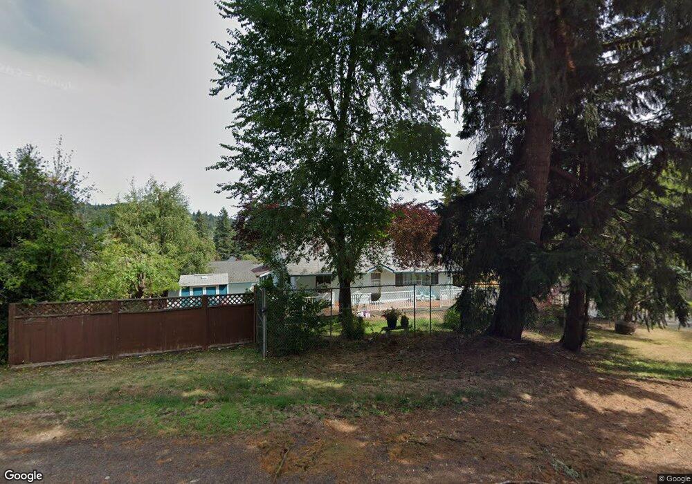
742 Highway 47 Clatskanie, OR 97016
Estimated Value: $137,850 - $364,000
2
Beds
2
Baths
1,438
Sq Ft
$188/Sq Ft
Est. Value
About This Home
This home is located at 742 Highway 47, Clatskanie, OR 97016 and is currently estimated at $270,213, approximately $187 per square foot. 742 Highway 47 is a home located in Columbia County with nearby schools including Clatskanie Elementary School, Clatskanie Middle/High School, and Piercing Arrow Private School.
Ownership History
Date
Name
Owned For
Owner Type
Purchase Details
Closed on
Jul 24, 2019
Sold by
County Of Columbia
Bought by
Palacios Jorge Ramirez
Current Estimated Value
Purchase Details
Closed on
Oct 11, 2017
Sold by
County Of Columbia
Bought by
Columbia County
Purchase Details
Closed on
Sep 24, 2007
Sold by
Davis Jerry
Bought by
Davis Jeff D and Davis Alayna N
Home Financials for this Owner
Home Financials are based on the most recent Mortgage that was taken out on this home.
Original Mortgage
$78,950
Interest Rate
6.61%
Mortgage Type
Credit Line Revolving
Create a Home Valuation Report for This Property
The Home Valuation Report is an in-depth analysis detailing your home's value as well as a comparison with similar homes in the area
Home Values in the Area
Average Home Value in this Area
Purchase History
| Date | Buyer | Sale Price | Title Company |
|---|---|---|---|
| Palacios Jorge Ramirez | $25,145 | None Available | |
| Columbia County | -- | None Available | |
| Davis Jeff D | $125,000 | Ticor Title |
Source: Public Records
Mortgage History
| Date | Status | Borrower | Loan Amount |
|---|---|---|---|
| Previous Owner | Davis Jeff D | $78,950 |
Source: Public Records
Tax History Compared to Growth
Tax History
| Year | Tax Paid | Tax Assessment Tax Assessment Total Assessment is a certain percentage of the fair market value that is determined by local assessors to be the total taxable value of land and additions on the property. | Land | Improvement |
|---|---|---|---|---|
| 2025 | $767 | $42,450 | $42,210 | $240 |
| 2024 | $742 | $41,220 | $40,990 | $230 |
| 2023 | $732 | $40,020 | $39,700 | $320 |
| 2022 | $705 | $38,860 | $38,550 | $310 |
| 2021 | $677 | $37,730 | $37,420 | $310 |
| 2020 | $673 | $36,640 | $36,340 | $300 |
| 2019 | $1,563 | $0 | $0 | $0 |
| 2018 | $0 | $0 | $0 | $0 |
| 2017 | $1,563 | $83,520 | $42,800 | $40,720 |
| 2016 | $1,514 | $81,090 | $41,550 | $39,540 |
| 2015 | $1,266 | $78,730 | $44,870 | $33,860 |
| 2014 | $1,289 | $76,440 | $44,190 | $32,250 |
Source: Public Records
Map
Nearby Homes
- 0 Bel Air Dr
- 810 Howard Dr
- 505 SW Tichenor St
- 636 S Nehalem St
- 3 SW Canyon Rd
- 2 SW Canyon Rd
- 1 SW Canyon Rd
- 601 E Columbia River Hwy Unit 34
- 18229 Haven Acres Rd
- 0 Conyers Creek Unit 208773965
- 1390 Swedetown Rd
- 0 Palm Hill Rd Unit 467442641
- 831 Virginia Cir
- 78098 Erickson Dike Rd
- 74763 Conyers Creek Rd
- 78527 Point Adams Rd
- 78384 Collins Rd
- 75401 Clatskanie Valley Dr
- 0 Lindberg Rd
- 0 Beaver Falls Rd Unit 721211834
- 280 SW Orchard St
- 734 Oregon 47
- 752 Highway 47
- 754 Highway 47
- 750 Highway 47
- 240 SW Orchard St
- 300 SW Orchard St
- 380 SW Orchard St
- 226 SW Orchard St
- 315 SW Orchard St
- 258 SW Orchard St
- 228 SW Orchard St
- 185 SW Norman St
- 395 SW Orchard St
- 105 High St
- 405 Howard Dr
- 225 SW Norman St
- 115 SW Norman St
- 400 Howard Dr
- 400 SW Howard