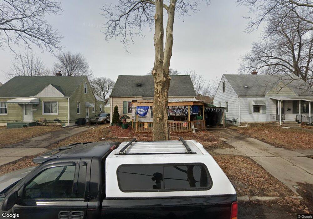
742 Huron St Flint, MI 48507
South Side NeighborhoodEstimated Value: $79,000 - $114,000
4
Beds
1
Bath
2,600
Sq Ft
$38/Sq Ft
Est. Value
About This Home
This home is located at 742 Huron St, Flint, MI 48507 and is currently estimated at $99,962, approximately $38 per square foot. 742 Huron St is a home located in Genesee County with nearby schools including Neithercut Elementary School, Flint Southwestern Classical Academy, and International Academy of Flint (K-12).
Ownership History
Date
Name
Owned For
Owner Type
Purchase Details
Closed on
Sep 17, 2008
Sold by
Slator Martha Ann
Bought by
Blackowski Gerald Anthony and Slator Martha Ann
Current Estimated Value
Purchase Details
Closed on
Oct 4, 2006
Sold by
Walker Doris Lane and Baker Doris Lane
Bought by
Slator Martha Ann
Purchase Details
Closed on
Oct 13, 2004
Sold by
Walker Doris Lane
Bought by
Walker Doris Lane and Slator Martha Ann
Purchase Details
Closed on
Aug 11, 1999
Sold by
Lessien Tammy J
Bought by
Walker Doris L
Create a Home Valuation Report for This Property
The Home Valuation Report is an in-depth analysis detailing your home's value as well as a comparison with similar homes in the area
Home Values in the Area
Average Home Value in this Area
Purchase History
| Date | Buyer | Sale Price | Title Company |
|---|---|---|---|
| Blackowski Gerald Anthony | -- | None Available | |
| Slator Martha Ann | -- | None Available | |
| Walker Doris Lane | -- | Stewart Title Guaranty Co | |
| Walker Doris L | -- | Cislo Title Company |
Source: Public Records
Tax History
| Year | Tax Paid | Tax Assessment Tax Assessment Total Assessment is a certain percentage of the fair market value that is determined by local assessors to be the total taxable value of land and additions on the property. | Land | Improvement |
|---|---|---|---|---|
| 2025 | $993 | $38,900 | $0 | $0 |
| 2024 | $899 | $33,400 | $0 | $0 |
| 2023 | $883 | $26,000 | $0 | $0 |
| 2022 | $0 | $24,500 | $0 | $0 |
| 2021 | $918 | $21,200 | $0 | $0 |
| 2020 | $828 | $19,700 | $0 | $0 |
| 2019 | $807 | $16,500 | $0 | $0 |
| 2018 | $806 | $11,800 | $0 | $0 |
| 2017 | $784 | $0 | $0 | $0 |
| 2016 | $779 | $0 | $0 | $0 |
| 2015 | -- | $0 | $0 | $0 |
| 2014 | -- | $0 | $0 | $0 |
| 2012 | -- | $14,900 | $0 | $0 |
Source: Public Records
Map
Nearby Homes
- 805 Alvord Ave
- 806 Alvord Ave
- 845 Alvord Ave
- 612 Clinton St
- 652 Crawford St
- 713 Leland St
- 912 Huron St
- 842 Leland St
- 1216 E Hemphill Rd
- 846 W Hemphill Rd
- 822 Campbell St
- 925 Leland St
- 3902 Brunswick Ave
- 738 W Atherton Rd
- 1015 Alvord Ave
- 1219 Norton St
- 3902 Cuthbertson St
- 1028 Campbell St
- 1122 Markham St
- 1125 Ingleside Ave
Your Personal Tour Guide
Ask me questions while you tour the home.