742 Lacy Rd Canton, GA 30115
Union Hill NeighborhoodEstimated Value: $599,000 - $722,000
4
Beds
4
Baths
3,766
Sq Ft
$181/Sq Ft
Est. Value
About This Home
This home is located at 742 Lacy Rd, Canton, GA 30115 and is currently estimated at $681,105, approximately $180 per square foot. 742 Lacy Rd is a home located in Cherokee County with nearby schools including Avery Elementary School, Creekland Middle School, and Creekview High School.
Ownership History
Date
Name
Owned For
Owner Type
Purchase Details
Closed on
Dec 28, 2007
Sold by
Brennan Patricia A
Bought by
Brennan Patricia A
Current Estimated Value
Home Financials for this Owner
Home Financials are based on the most recent Mortgage that was taken out on this home.
Original Mortgage
$218,000
Outstanding Balance
$135,563
Interest Rate
6.05%
Mortgage Type
New Conventional
Estimated Equity
$545,542
Purchase Details
Closed on
Nov 11, 1996
Sold by
Lacy Juanita
Bought by
Butti Michael Patricia
Create a Home Valuation Report for This Property
The Home Valuation Report is an in-depth analysis detailing your home's value as well as a comparison with similar homes in the area
Home Values in the Area
Average Home Value in this Area
Purchase History
| Date | Buyer | Sale Price | Title Company |
|---|---|---|---|
| Brennan Patricia A | -- | -- | |
| Butti Michael Patricia | $115,000 | -- |
Source: Public Records
Mortgage History
| Date | Status | Borrower | Loan Amount |
|---|---|---|---|
| Open | Brennan Patricia A | $218,000 | |
| Closed | Butti Michael Patricia | $0 |
Source: Public Records
Tax History Compared to Growth
Tax History
| Year | Tax Paid | Tax Assessment Tax Assessment Total Assessment is a certain percentage of the fair market value that is determined by local assessors to be the total taxable value of land and additions on the property. | Land | Improvement |
|---|---|---|---|---|
| 2025 | $1,099 | $212,956 | $58,800 | $154,156 |
| 2024 | $1,054 | $171,396 | $47,440 | $123,956 |
| 2023 | $857 | $152,676 | $38,280 | $114,396 |
| 2022 | $975 | $133,436 | $36,720 | $96,716 |
| 2021 | $3,154 | $111,116 | $30,600 | $80,516 |
| 2020 | $2,881 | $101,396 | $30,600 | $70,796 |
| 2019 | $2,826 | $99,440 | $30,600 | $68,840 |
| 2018 | $2,743 | $95,960 | $30,600 | $65,360 |
| 2017 | $2,791 | $242,200 | $30,600 | $66,280 |
| 2016 | $2,483 | $213,200 | $25,520 | $59,760 |
| 2015 | $2,506 | $213,100 | $24,640 | $60,600 |
| 2014 | $2,162 | $183,500 | $20,400 | $53,000 |
Source: Public Records
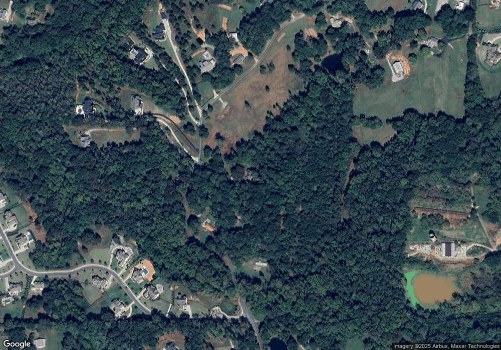
Map
Nearby Homes
- 128 Creekview Ln
- 1498 Pinyan Ln
- 115 Old Avery Dr
- 1076 Pinyan Ln
- 1248 Avery Rd
- 7820 E Cherokee Dr
- 8143 E Cherokee Dr
- Abney Plan at Prescott Manor
- 1996 Thomas Rd
- 120 Prescott Manor Dr
- 130 Prescott Manor Dr
- 129 Prescott Manor Dr
- 1021 Avery Rd
- 1017 Avery Rd
- 258 Arliss Dr
- 182 Oak Forest Dr
- 667 B Avery Rd
- 2001 Epperson Rd
- 162 Carmichael Dr
- 487 Carmichael Cir
- 843 Lacy Rd
- 680 Lacy Rd
- 845 Lacy Rd
- 845 Lacy Rd
- 743 Lacy Rd
- 847 Lacy Rd
- 846 Lacy Rd
- 849 Lacy Rd
- 849 Lacy Rd
- 0 Lacy Rd Unit 8243628
- 000 Lacy Rd
- 0 Lacy Rd Unit 7564657
- 0 Lacy Rd Unit LOT 4 9074719
- 0 Lacy Rd Unit LOT 3 9074703
- 0 Lacy Rd Unit LOT 2 9074692
- 0 Lacy Rd Unit 9034893
- 0 Lacy Rd Unit 6931286
- 0 Lacy Rd Unit 8836200
- 0 Lacy Rd Unit 8836180
- 0 Lacy Rd Unit 8836162