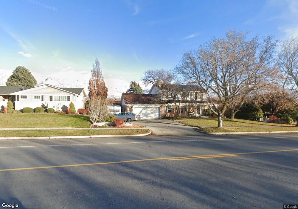
742 N 100 E American Fork, UT 84003
Estimated Value: $562,000 - $592,872
4
Beds
4
Baths
3,055
Sq Ft
$190/Sq Ft
Est. Value
About This Home
This home is located at 742 N 100 E, American Fork, UT 84003 and is currently estimated at $581,291, approximately $190 per square foot. 742 N 100 E is a home located in Utah County with nearby schools including Forbes Elementary School, American Fork Junior High School, and American Fork High School.
Ownership History
Date
Name
Owned For
Owner Type
Purchase Details
Closed on
Nov 17, 2016
Sold by
Miller Aaron
Bought by
Hardmand Ryan and Hardmand Sarah
Current Estimated Value
Home Financials for this Owner
Home Financials are based on the most recent Mortgage that was taken out on this home.
Original Mortgage
$241,000
Outstanding Balance
$194,089
Interest Rate
3.52%
Mortgage Type
New Conventional
Estimated Equity
$387,202
Purchase Details
Closed on
Aug 26, 2013
Sold by
Miller Dick L and Miller Susan K
Bought by
Miller Aaron
Home Financials for this Owner
Home Financials are based on the most recent Mortgage that was taken out on this home.
Original Mortgage
$242,250
Interest Rate
4.51%
Mortgage Type
New Conventional
Create a Home Valuation Report for This Property
The Home Valuation Report is an in-depth analysis detailing your home's value as well as a comparison with similar homes in the area
Home Values in the Area
Average Home Value in this Area
Purchase History
| Date | Buyer | Sale Price | Title Company |
|---|---|---|---|
| Hardmand Ryan | -- | Frontier Title Insurance Ag | |
| Miller Aaron | -- | Meridian Title Co |
Source: Public Records
Mortgage History
| Date | Status | Borrower | Loan Amount |
|---|---|---|---|
| Open | Hardmand Ryan | $241,000 | |
| Previous Owner | Miller Aaron | $242,250 |
Source: Public Records
Tax History
| Year | Tax Paid | Tax Assessment Tax Assessment Total Assessment is a certain percentage of the fair market value that is determined by local assessors to be the total taxable value of land and additions on the property. | Land | Improvement |
|---|---|---|---|---|
| 2025 | $2,253 | $259,270 | -- | -- |
| 2024 | $2,253 | $250,305 | $0 | $0 |
| 2023 | $2,188 | $257,730 | $0 | $0 |
| 2022 | $2,254 | $262,020 | $0 | $0 |
| 2021 | $1,936 | $351,600 | $98,400 | $253,200 |
| 2020 | $1,830 | $322,300 | $87,900 | $234,400 |
| 2019 | $1,614 | $293,900 | $79,700 | $214,200 |
| 2018 | $1,649 | $287,100 | $74,200 | $212,900 |
| 2017 | $1,648 | $154,880 | $0 | $0 |
| 2016 | $1,607 | $140,360 | $0 | $0 |
| 2015 | $1,513 | $125,400 | $0 | $0 |
| 2014 | $1,370 | $112,035 | $0 | $0 |
Source: Public Records
Map
Nearby Homes
- 780 N 100 E
- 183 E 760 St N
- 822 N 150 E Unit 5
- 788 N 150 E Unit 3
- 807 N 150 E
- 783 N 150 E
- 793 N 150 E
- 894 N 60 E
- 4650 W Magnolia Drive Dr Unit 8
- 10238 N 6530 W Unit 15
- 5277 N 11200 W Unit 4
- 5284 N 11200 W Unit 3
- 6079 W Whisper Ln Unit 404
- 1220 E 700 N
- 6111 W Whisper Ln Unit 402
- 603 S 370 E
- 234 W 1080 N
- 610 N 300 E
- 621 N 100 W
- 1065 N 100 E
Your Personal Tour Guide
Ask me questions while you tour the home.