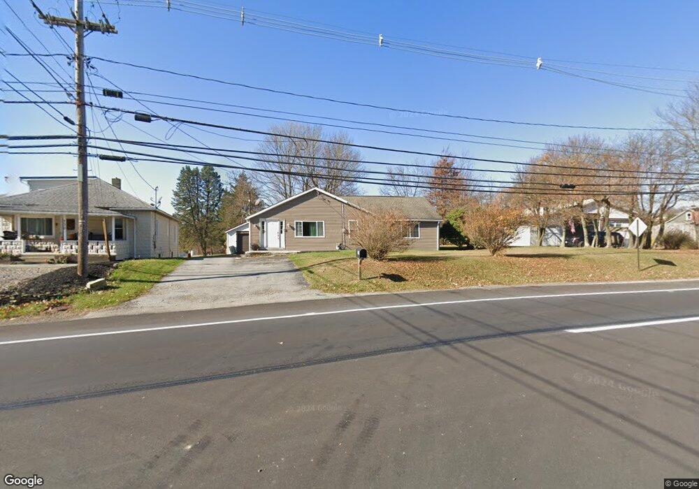
742 Old Route 119 Hwy N Indiana, PA 15701
Estimated Value: $110,220 - $160,000
2
Beds
1
Bath
1,222
Sq Ft
$104/Sq Ft
Est. Value
About This Home
This home is located at 742 Old Route 119 Hwy N, Indiana, PA 15701 and is currently estimated at $126,805, approximately $103 per square foot. 742 Old Route 119 Hwy N is a home located in Indiana County with nearby schools including Indiana Area Junior High School, Indiana Area Senior High School, and Seeds of Faith Christian Academy.
Ownership History
Date
Name
Owned For
Owner Type
Purchase Details
Closed on
May 30, 2008
Sold by
Webb Rodney L
Bought by
Miller Darvina M
Current Estimated Value
Home Financials for this Owner
Home Financials are based on the most recent Mortgage that was taken out on this home.
Original Mortgage
$65,000
Interest Rate
16.99%
Mortgage Type
Purchase Money Mortgage
Create a Home Valuation Report for This Property
The Home Valuation Report is an in-depth analysis detailing your home's value as well as a comparison with similar homes in the area
Home Values in the Area
Average Home Value in this Area
Purchase History
| Date | Buyer | Sale Price | Title Company |
|---|---|---|---|
| Miller Darvina M | -- | None Available |
Source: Public Records
Mortgage History
| Date | Status | Borrower | Loan Amount |
|---|---|---|---|
| Previous Owner | Miller Darvina M | $65,000 |
Source: Public Records
Tax History Compared to Growth
Tax History
| Year | Tax Paid | Tax Assessment Tax Assessment Total Assessment is a certain percentage of the fair market value that is determined by local assessors to be the total taxable value of land and additions on the property. | Land | Improvement |
|---|---|---|---|---|
| 2025 | $1,738 | $76,800 | $12,600 | $64,200 |
| 2024 | $1,642 | $76,800 | $12,600 | $64,200 |
| 2023 | $1,556 | $76,800 | $12,600 | $64,200 |
| 2022 | $1,556 | $76,800 | $12,600 | $64,200 |
| 2021 | $1,556 | $76,800 | $12,600 | $64,200 |
| 2020 | $1,521 | $76,800 | $12,600 | $64,200 |
| 2018 | $1,521 | $76,800 | $12,600 | $64,200 |
| 2017 | $1,588 | $76,800 | $12,600 | $64,200 |
| 2016 | -- | $76,800 | $12,600 | $64,200 |
| 2015 | -- | $7,310 | $460 | $6,850 |
| 2014 | -- | $7,310 | $460 | $6,850 |
Source: Public Records
Map
Nearby Homes
- 967 Josephine Ave
- 860 N 5th Ave
- 729 Fairview Ave
- 0 Sunset Dr Unit 1697645
- 0 Sunset Dr Unit 1699295
- 0 Hamill Rd
- 270 Charles St
- 246 Anderson Ave
- 336 N 5th St
- 530 Stannard Ave
- 336 N Taylor Ave
- 30 Croyhill Dr
- 000 Coolspring Rd
- 211 N 5th St
- 107 N Second St
- 557 Oak St
- 535 Burns Ave
- 116 Philadelphia St
- 0 Route 286 & Florence Ave Unit 1685866
- 0 Mallet Hill Ct Unit 1691769
- 724 Old Route 119 Hwy N
- 799 Old Route 119 Hwy N
- 945 Josephine Ave
- 945 Josephine Ave
- 945 Josephine Ave
- 945 Josephine Ave
- 750 Old Route 119 Hwy N
- 758 Old Route 119 Hwy N
- 975 Josephine Ave
- 778 Old Route 119 Hwy N
- 90 Lincoln Ave
- 915 Josephine Ave
- 915 Josephine Ave
- 915 Josephine Ave
- 960 Josephine Ave
- 950 Josephine Ave
- 696 Old Route 119 Hwy N
- 104 Greenview Dr
- 110 Lincoln Ave
- 0 Elkin Ave