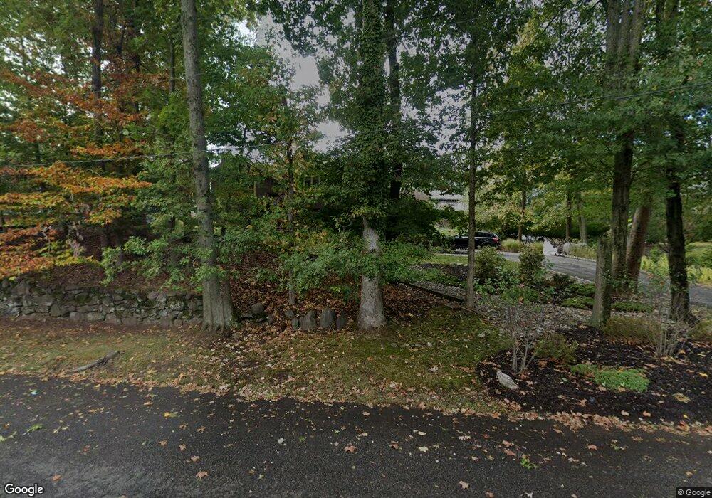
742 Ravine Rd Unit 52 Plainfield, NJ 07062
Estimated Value: $525,577 - $637,000
Studio
--
Bath
1,164
Sq Ft
$501/Sq Ft
Est. Value
About This Home
This home is located at 742 Ravine Rd Unit 52, Plainfield, NJ 07062 and is currently estimated at $583,644, approximately $501 per square foot. 742 Ravine Rd Unit 52 is a home located in Union County with nearby schools including Charles and Anna Booker School, Maxson Middle School, and Plainfield High School.
Ownership History
Date
Name
Owned For
Owner Type
Purchase Details
Closed on
Jun 25, 2001
Sold by
Henry Diane M
Bought by
Lear Andrew L and Holup Jennifer A
Current Estimated Value
Home Financials for this Owner
Home Financials are based on the most recent Mortgage that was taken out on this home.
Original Mortgage
$196,000
Outstanding Balance
$75,918
Interest Rate
7.21%
Estimated Equity
$507,727
Create a Home Valuation Report for This Property
The Home Valuation Report is an in-depth analysis detailing your home's value as well as a comparison with similar homes in the area
Home Values in the Area
Average Home Value in this Area
Purchase History
| Date | Buyer | Sale Price | Title Company |
|---|---|---|---|
| Lear Andrew L | $245,000 | First American Title Ins Co |
Source: Public Records
Mortgage History
| Date | Status | Borrower | Loan Amount |
|---|---|---|---|
| Open | Lear Andrew L | $196,000 |
Source: Public Records
Tax History Compared to Growth
Tax History
| Year | Tax Paid | Tax Assessment Tax Assessment Total Assessment is a certain percentage of the fair market value that is determined by local assessors to be the total taxable value of land and additions on the property. | Land | Improvement |
|---|---|---|---|---|
| 2025 | $12,225 | $140,000 | $98,600 | $41,400 |
| 2024 | $12,104 | $140,000 | $98,600 | $41,400 |
| 2023 | $12,104 | $140,000 | $98,600 | $41,400 |
| 2022 | $11,843 | $140,000 | $98,600 | $41,400 |
| 2021 | $11,739 | $140,000 | $98,600 | $41,400 |
| 2020 | $11,705 | $140,000 | $98,600 | $41,400 |
| 2019 | $11,705 | $140,000 | $98,600 | $41,400 |
| 2018 | $13,212 | $161,400 | $98,600 | $62,800 |
| 2017 | $12,889 | $161,400 | $98,600 | $62,800 |
| 2016 | $12,626 | $161,400 | $98,600 | $62,800 |
| 2015 | $12,253 | $161,400 | $98,600 | $62,800 |
| 2014 | $11,921 | $161,400 | $98,600 | $62,800 |
Source: Public Records
Map
Nearby Homes
- 771 Ravine Rd
- 767 Ravine Rd Unit 73
- 714 Dixie Ln
- 1505 Charlotte Rd
- 834 Central St Unit 36
- 633 Woodland Ave Unit 37
- 835 Dixie Ln Unit 37
- 1305 Sunnyside Place Unit 9
- 1342 Lake St
- 842 Berkeley Ave
- 1147 Inwood Place Unit 49
- 810 Leland Ave Unit 14
- 774 Webster Place
- 812 E 6th St
- 819 Kensington Ave Unit 25
- 1627 Prospect Ave Unit 47
- 1200-06 Watchung Ave
- 848 Adam Cir
- 819 Carlton Ave Unit 23
- 823 Carlton Ave
- 754 Ravine Rd Unit 60
- 760 Ravine Rd
- 732 Ravine Rd Unit 38
- 745 Ravine Rd Unit 53
- 757 Belvidere Ave Unit 83
- 777 Belvidere Ave
- 762 Ravine Rd Unit 70
- 1351 Denmark Rd Unit 59
- 733-43 Ravine Rd
- 733 Ravine Rd Unit 43
- 616 Berkeley Ave Unit 20
- 724 Ravine Rd Unit 30
- 730 Ravine Rd
- 1345 Denmark Rd
- 1341 Denmark Rd Unit 49
- 772 Ravine Rd Unit 80
- 710 Dixie Ln Unit 16
- 622 Berkeley Ave Unit 28
- 608 Berkeley Ave Unit 14
- 710 Ravine Rd Unit 22
