742 W Coal St Trevorton, PA 17881
Estimated Value: $122,773 - $196,000
--
Bed
--
Bath
--
Sq Ft
7,492
Sq Ft Lot
About This Home
This home is located at 742 W Coal St, Trevorton, PA 17881 and is currently estimated at $159,943. 742 W Coal St is a home located in Northumberland County with nearby schools including Line Mountain Elementary School, Line Mountain Middle School, and Line Mountain Junior/Senior High School.
Ownership History
Date
Name
Owned For
Owner Type
Purchase Details
Closed on
Dec 4, 2012
Sold by
Billig Donald L and Billig Janice M
Bought by
Shipe Ronald L
Current Estimated Value
Home Financials for this Owner
Home Financials are based on the most recent Mortgage that was taken out on this home.
Original Mortgage
$95,880
Interest Rate
3.35%
Mortgage Type
New Conventional
Create a Home Valuation Report for This Property
The Home Valuation Report is an in-depth analysis detailing your home's value as well as a comparison with similar homes in the area
Home Values in the Area
Average Home Value in this Area
Purchase History
| Date | Buyer | Sale Price | Title Company |
|---|---|---|---|
| Shipe Ronald L | $94,000 | None Available |
Source: Public Records
Mortgage History
| Date | Status | Borrower | Loan Amount |
|---|---|---|---|
| Open | Shipe Ronald L | $121,286 | |
| Closed | Shipe Ronald L | $95,880 | |
| Previous Owner | Billig Donald L | $60,000 | |
| Previous Owner | Billig Donald L | $50,000 |
Source: Public Records
Tax History Compared to Growth
Tax History
| Year | Tax Paid | Tax Assessment Tax Assessment Total Assessment is a certain percentage of the fair market value that is determined by local assessors to be the total taxable value of land and additions on the property. | Land | Improvement |
|---|---|---|---|---|
| 2025 | $1,666 | $12,460 | $1,490 | $10,970 |
| 2024 | $1,604 | $12,460 | $1,490 | $10,970 |
| 2023 | $1,604 | $12,460 | $1,490 | $10,970 |
| 2022 | $1,604 | $12,460 | $1,490 | $10,970 |
| 2021 | $1,604 | $12,460 | $1,490 | $10,970 |
| 2020 | $1,604 | $12,460 | $1,490 | $10,970 |
| 2019 | $1,565 | $12,460 | $1,490 | $10,970 |
| 2018 | $1,534 | $12,460 | $1,490 | $10,970 |
| 2017 | $1,461 | $12,460 | $1,490 | $10,970 |
| 2016 | -- | $12,460 | $1,490 | $10,970 |
| 2015 | -- | $12,460 | $1,490 | $10,970 |
| 2014 | -- | $12,460 | $1,490 | $10,970 |
Source: Public Records
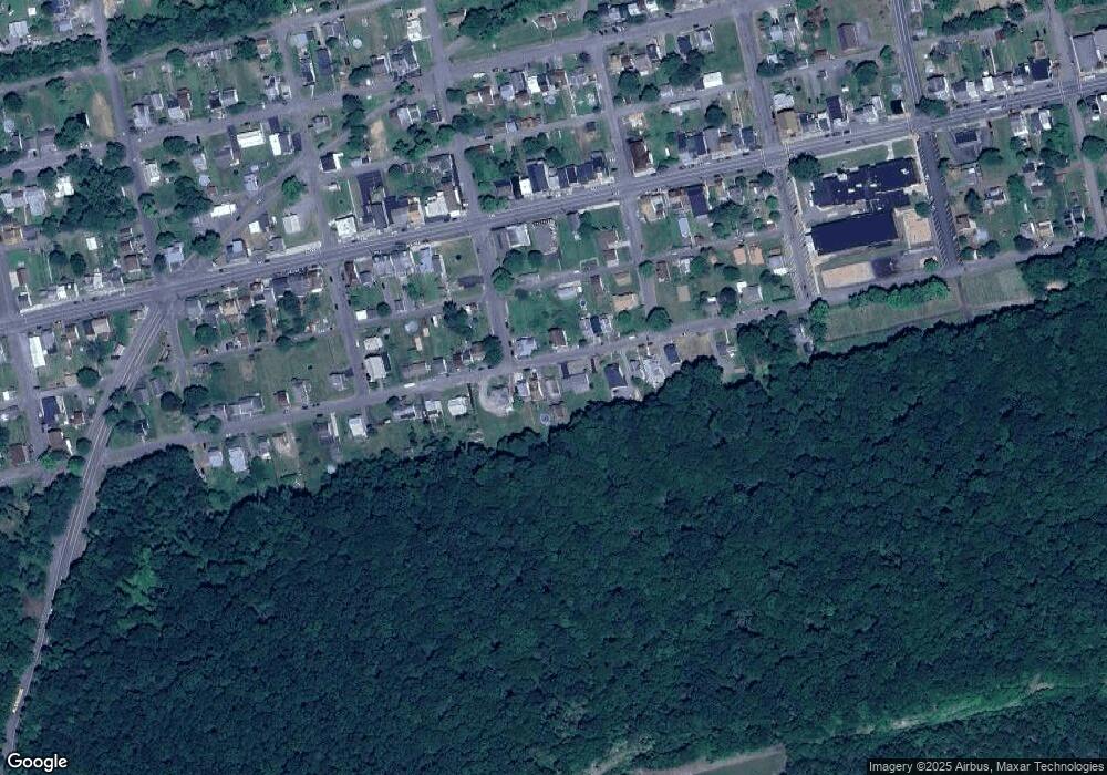
Map
Nearby Homes
- 901 W Coal St
- 220-224 S 10th St
- 225 S 11th St
- 444 W Market St
- 417 W Shamokin St
- 347 W Market St
- 1101 Pleasant View St
- 100 W Shamokin St
- 223 E Market St
- 234 Trevorton Rd
- 377 Trevorton Rd
- 783 Trevorton Rd
- LOT# 3 Blacks Ln
- LOT#2 Blacks Ln
- 2764 Pennsylvania 890
- 2881 State Route 890
- 3101 Irish Valley Rd
- 435 Hollow Rd
- 37 ACRES Pennsylvania 890
- 345 Houser Rd