742 Walters Ln Point Roberts, WA 98281
Estimated Value: $612,672 - $770,000
3
Beds
2
Baths
1,680
Sq Ft
$404/Sq Ft
Est. Value
About This Home
This home is located at 742 Walters Ln, Point Roberts, WA 98281 and is currently estimated at $678,418, approximately $403 per square foot. 742 Walters Ln is a home located in Whatcom County with nearby schools including Point Roberts Primary School, Blaine Middle School, and Blaine High School.
Ownership History
Date
Name
Owned For
Owner Type
Purchase Details
Closed on
May 11, 2022
Sold by
Montagano and Andre
Bought by
Montagano Andre
Current Estimated Value
Purchase Details
Closed on
May 9, 2022
Sold by
Gay Mostardi and Gay Judith
Bought by
Montagano Andre
Purchase Details
Closed on
Jul 24, 2001
Sold by
Scott Helen Nancy
Bought by
Mostardi Stephen and Mostardi Judith Gay
Create a Home Valuation Report for This Property
The Home Valuation Report is an in-depth analysis detailing your home's value as well as a comparison with similar homes in the area
Home Values in the Area
Average Home Value in this Area
Purchase History
| Date | Buyer | Sale Price | Title Company |
|---|---|---|---|
| Montagano Andre | -- | Whatcom Land Title | |
| Montagano Andre | -- | Whatcom Land Title | |
| Mostardi Stephen | -- | Whatcom Land Title |
Source: Public Records
Tax History Compared to Growth
Tax History
| Year | Tax Paid | Tax Assessment Tax Assessment Total Assessment is a certain percentage of the fair market value that is determined by local assessors to be the total taxable value of land and additions on the property. | Land | Improvement |
|---|---|---|---|---|
| 2024 | $4,612 | $598,770 | $252,945 | $345,825 |
| 2023 | $4,612 | $575,775 | $229,950 | $345,825 |
| 2022 | $3,978 | $525,822 | $210,000 | $315,822 |
| 2021 | $3,961 | $409,801 | $180,576 | $229,225 |
| 2020 | $3,939 | $379,440 | $167,198 | $212,242 |
| 2019 | $3,644 | $363,968 | $160,380 | $203,588 |
| 2018 | $3,590 | $327,203 | $144,180 | $183,023 |
| 2017 | $3,111 | $312,497 | $137,700 | $174,797 |
| 2016 | $3,378 | $306,370 | $135,000 | $171,370 |
| 2015 | $3,594 | $323,584 | $144,915 | $178,669 |
| 2014 | -- | $338,283 | $151,500 | $186,783 |
| 2013 | -- | $323,742 | $145,500 | $178,242 |
Source: Public Records
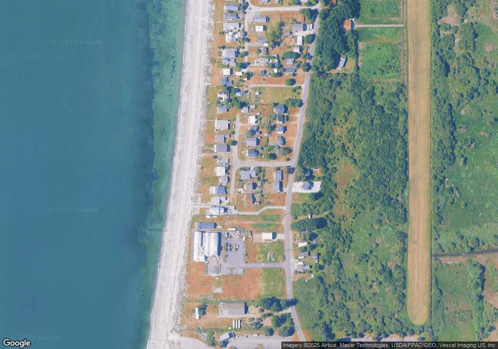
Map
Nearby Homes
- 631 Freemans Ln
- 0 Edwards Dr Unit Lot 2 11256474
- 1453 Edwards Dr
- 1477 Edwards Dr
- 581 Marine Dr
- 0 Peltier Dr Unit NWM2406572
- 1365 Gulf Rd
- 1379 Gulf Rd
- 1561 Edwards Dr
- 1438 Gulf Rd
- 469 Julius Dr
- 19 Harbor Seal Dr
- 1613 Edwards Dr
- Lot 3 Edwards Dr
- 1630 Edwards Dr
- Lot #8 Marine Dr
- 585 Marine Dr
- 421 W Bluff Rd
- 381 W Bluff Rd
- 1542 Columbia Vista Dr