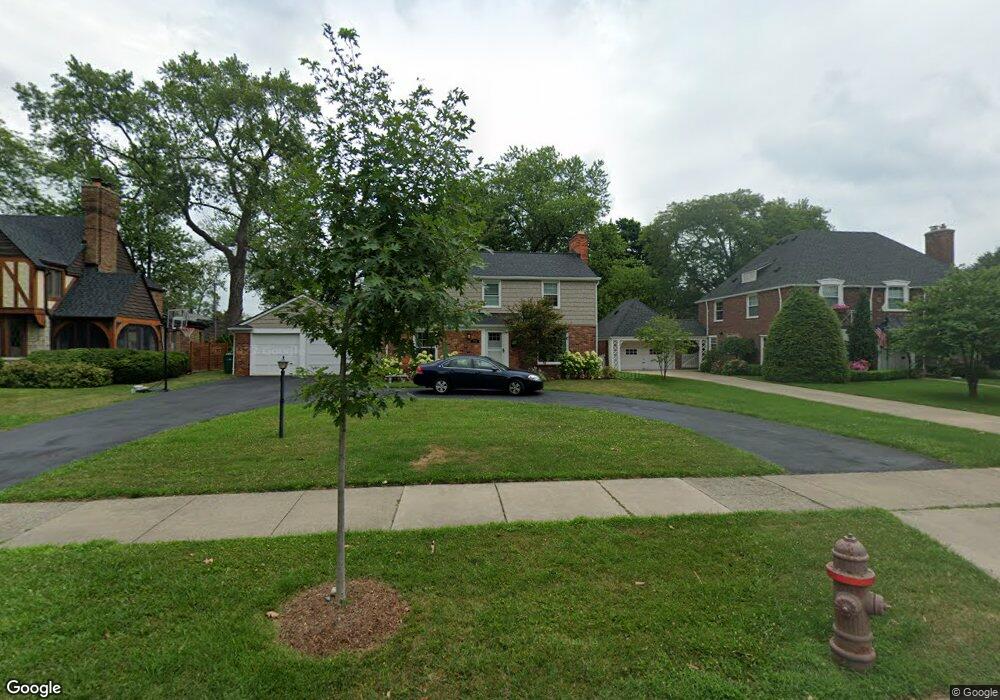
742 Westchester Rd Grosse Pointe Park, MI 48230
Estimated Value: $420,536 - $598,000
3
Beds
3
Baths
2,260
Sq Ft
$232/Sq Ft
Est. Value
About This Home
This home is located at 742 Westchester Rd, Grosse Pointe Park, MI 48230 and is currently estimated at $523,634, approximately $231 per square foot. 742 Westchester Rd is a home located in Wayne County with nearby schools including Pierce Middle School, Grosse Pointe South High School, and Detroit Merit Charter Academy.
Ownership History
Date
Name
Owned For
Owner Type
Purchase Details
Closed on
Sep 27, 2010
Sold by
Tapert Griffin Peter Raymond and Tapert Griffin Susan
Bought by
Bouton Howard R and Bouton Anna L
Current Estimated Value
Create a Home Valuation Report for This Property
The Home Valuation Report is an in-depth analysis detailing your home's value as well as a comparison with similar homes in the area
Home Values in the Area
Average Home Value in this Area
Purchase History
| Date | Buyer | Sale Price | Title Company |
|---|---|---|---|
| Bouton Howard R | $180,000 | Greco |
Source: Public Records
Tax History Compared to Growth
Tax History
| Year | Tax Paid | Tax Assessment Tax Assessment Total Assessment is a certain percentage of the fair market value that is determined by local assessors to be the total taxable value of land and additions on the property. | Land | Improvement |
|---|---|---|---|---|
| 2025 | $3,980 | $204,700 | $0 | $0 |
| 2024 | $3,980 | $189,900 | $0 | $0 |
| 2023 | $3,801 | $174,100 | $0 | $0 |
| 2022 | $3,611 | $168,300 | $0 | $0 |
| 2021 | $6,988 | $164,800 | $0 | $0 |
| 2019 | $7,191 | $156,200 | $0 | $0 |
| 2018 | $3,379 | $149,300 | $0 | $0 |
| 2017 | $7,790 | $73,600 | $0 | $0 |
| 2016 | $7,174 | $135,100 | $0 | $0 |
| 2015 | $12,645 | $133,700 | $0 | $0 |
| 2013 | $12,250 | $124,200 | $0 | $0 |
| 2012 | $3,512 | $129,100 | $61,500 | $67,600 |
Source: Public Records
Map
Nearby Homes
- 718 Berkshire Rd
- 709 Middlesex Rd
- 709 Lakepointe St
- 875 Balfour St
- 784 Barrington Rd
- 614 Pemberton Rd
- 814 Harcourt Rd Unit 816
- 504 Alter Rd
- 847 Barrington Rd
- 976 Lakepointe St
- 15345 Windmill Pointe Dr
- 429 Manistique St
- 709 Ashland St
- 74 Pointe Park Place Unit 311
- 54 Pointe Park Place Unit 208
- 487 Philip St
- 15215 Windmill Pointe Dr
- 289 Manistique St
- 458 Marlborough St
- 225 Ashland St
- 734 Westchester Rd
- 750 Westchester Rd
- 726 Westchester Rd
- 758 Westchester Rd
- 715 Balfour St
- 733 Balfour St
- 711 Balfour St
- 766 Westchester Rd
- 718 Westchester Rd
- 741 Westchester Rd
- 733 Westchester Rd
- 749 Westchester Rd
- 725 Westchester Rd
- 757 Westchester Rd
- 774 Westchester Rd
- 710 Westchester Rd
- 717 Westchester Rd
- 745 Balfour St
- 765 Westchester Rd
- 705 Balfour St