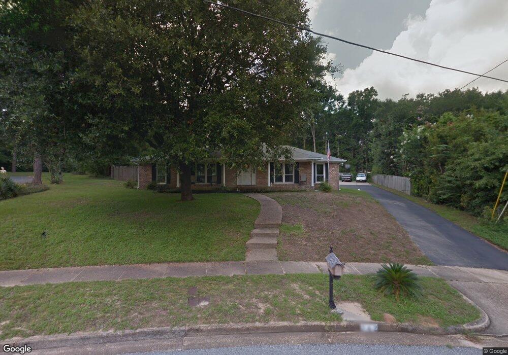
742 Westmoreland Dr W Mobile, AL 36609
Jackson Heights NeighborhoodEstimated Value: $338,691 - $475,000
--
Bed
2
Baths
2,537
Sq Ft
$150/Sq Ft
Est. Value
About This Home
This home is located at 742 Westmoreland Dr W, Mobile, AL 36609 and is currently estimated at $380,423, approximately $149 per square foot. 742 Westmoreland Dr W is a home located in Mobile County with nearby schools including Elizabeth Fonde Elementary School, Burns Middle School, and WP Davidson High School.
Ownership History
Date
Name
Owned For
Owner Type
Purchase Details
Closed on
May 1, 2007
Sold by
Feagan John F
Bought by
Taylor Tony and Taylor Linda
Current Estimated Value
Home Financials for this Owner
Home Financials are based on the most recent Mortgage that was taken out on this home.
Original Mortgage
$199,500
Outstanding Balance
$120,885
Interest Rate
6.1%
Mortgage Type
Unknown
Estimated Equity
$259,538
Create a Home Valuation Report for This Property
The Home Valuation Report is an in-depth analysis detailing your home's value as well as a comparison with similar homes in the area
Home Values in the Area
Average Home Value in this Area
Purchase History
| Date | Buyer | Sale Price | Title Company |
|---|---|---|---|
| Taylor Tony | -- | None Available |
Source: Public Records
Mortgage History
| Date | Status | Borrower | Loan Amount |
|---|---|---|---|
| Open | Taylor Tony | $199,500 |
Source: Public Records
Tax History Compared to Growth
Tax History
| Year | Tax Paid | Tax Assessment Tax Assessment Total Assessment is a certain percentage of the fair market value that is determined by local assessors to be the total taxable value of land and additions on the property. | Land | Improvement |
|---|---|---|---|---|
| 2024 | $1,635 | $29,210 | $3,500 | $25,710 |
| 2023 | $1,635 | $24,710 | $4,500 | $20,210 |
| 2022 | $1,368 | $24,710 | $4,500 | $20,210 |
| 2021 | $0 | $23,990 | $4,500 | $19,490 |
| 2020 | $1,314 | $23,780 | $4,200 | $19,580 |
| 2019 | $1,275 | $23,080 | $4,200 | $18,880 |
| 2018 | $1,306 | $23,640 | $0 | $0 |
| 2017 | $1,659 | $27,180 | $0 | $0 |
| 2016 | $1,604 | $26,320 | $0 | $0 |
| 2013 | $1,402 | $22,940 | $0 | $0 |
Source: Public Records
Map
Nearby Homes
- 728 Spring Station Rd
- 745 Westmoreland Dr E
- 708 Spring Oaks Ct
- 308 Mcqueen Ave
- 0 Bellevue Ln
- 363 Mcqueen Ave
- 365 Bourgeois Cir
- 236 Lakewood Dr E
- 3983 Wimbledon Park
- 3955 Bourgeois Dr
- 4256 Michael Blvd
- 241 Suzanne Cir
- 3972 Wimbledon Park
- 417 Thornton Place
- 3953 Wimbledon Park
- 233 Suzanne Cir
- 312 Gaines Ave
- 275 Hillcrest Dr
- 4457 Suzanne Cir
- 812 Downtowner Loop W
- 4063 Westmoreland Dr S
- 736 Westmoreland Dr W
- 828 Country Club Ct
- 300 Dawn Place
- 824 Country Club Ct
- 743 Westmoreland Dr W
- 301 Thornton Place
- 730 Westmoreland Dr W
- 4109 Briarcliff Ct
- 823 Country Club Ct
- 304 Dawn Place
- 301 Dawn Place
- 737 Westmoreland Dr W
- 4055 Westmoreland Dr S
- 4055 Westmoreland Dr S Unit 1
- 4113 Briarcliff Ct
- 305 Thornton Place
- 816 Country Club Ct
- 4054 Westmoreland Dr S
- 305 Dawn Place