7420 Turk Rd Brooklyn, MI 49230
Estimated Value: $280,000 - $419,000
--
Bed
--
Bath
1,541
Sq Ft
$223/Sq Ft
Est. Value
About This Home
This home is located at 7420 Turk Rd, Brooklyn, MI 49230 and is currently estimated at $343,693, approximately $223 per square foot. 7420 Turk Rd is a home located in Jackson County with nearby schools including Columbia Lower Elementary School, Columbia Upper Elementary School, and Columbia Central Jr./Sr. High School.
Ownership History
Date
Name
Owned For
Owner Type
Purchase Details
Closed on
Mar 1, 2006
Sold by
Doyle Charles G and Doyle Charles
Bought by
Moore Timothy L
Current Estimated Value
Home Financials for this Owner
Home Financials are based on the most recent Mortgage that was taken out on this home.
Original Mortgage
$164,000
Outstanding Balance
$93,560
Interest Rate
6.33%
Mortgage Type
Fannie Mae Freddie Mac
Estimated Equity
$250,133
Purchase Details
Closed on
Feb 25, 2006
Sold by
Doyle Lorie F and Eagle Lorie F
Bought by
Doyle Charles G
Home Financials for this Owner
Home Financials are based on the most recent Mortgage that was taken out on this home.
Original Mortgage
$164,000
Outstanding Balance
$93,560
Interest Rate
6.33%
Mortgage Type
Fannie Mae Freddie Mac
Estimated Equity
$250,133
Create a Home Valuation Report for This Property
The Home Valuation Report is an in-depth analysis detailing your home's value as well as a comparison with similar homes in the area
Home Values in the Area
Average Home Value in this Area
Purchase History
| Date | Buyer | Sale Price | Title Company |
|---|---|---|---|
| Moore Timothy L | $205,000 | At | |
| Doyle Charles G | -- | At |
Source: Public Records
Mortgage History
| Date | Status | Borrower | Loan Amount |
|---|---|---|---|
| Open | Moore Timothy L | $164,000 | |
| Closed | Doyle Charles G | $164,000 |
Source: Public Records
Tax History Compared to Growth
Tax History
| Year | Tax Paid | Tax Assessment Tax Assessment Total Assessment is a certain percentage of the fair market value that is determined by local assessors to be the total taxable value of land and additions on the property. | Land | Improvement |
|---|---|---|---|---|
| 2025 | $3,118 | $127,100 | $0 | $0 |
| 2024 | $2,043 | $123,900 | $0 | $0 |
| 2023 | $1,947 | $120,800 | $0 | $0 |
| 2022 | $2,831 | $109,100 | $0 | $0 |
| 2021 | $2,795 | $106,200 | $0 | $0 |
| 2020 | $2,764 | $100,600 | $0 | $0 |
| 2019 | $2,696 | $92,800 | $0 | $0 |
| 2018 | $2,636 | $100,700 | $0 | $0 |
| 2017 | $2,499 | $97,900 | $0 | $0 |
| 2016 | $1,689 | $94,100 | $94,100 | $0 |
| 2015 | $2,370 | $88,400 | $88,400 | $0 |
| 2014 | $2,370 | $88,500 | $88,500 | $0 |
| 2013 | -- | $88,500 | $88,500 | $0 |
Source: Public Records
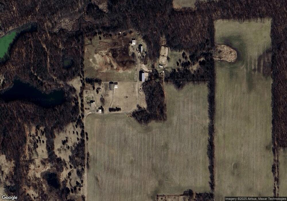
Map
Nearby Homes
- 116 Paula Dr
- 000 Hewitt Rd
- VL Carlysle Dr
- 0 Lot 44 & 45 Wilkshire Dr Unit 25044305
- 00 Ambler Dr
- 207 Ambler Dr
- VL Kirkley Dr
- 99 Nottingham Dr
- 200 Barbara Dr
- 7943 Cement City Rd
- 215 Nottingham Dr
- 328 Ashley Ct Unit 13
- 186 Bedford Dr
- 227 Riviera Dr
- 9813 Peterson Rd
- 144 Ashley Ct
- 112 Abbott Ln
- 2903 Russell Ct
- 440 Marshall St
- 1268 Maple Ln
- 7420 Turk Rd
- 7330 Turk Rd
- 7300 Turk Rd
- 10689 Hewitt Rd
- 10693 Hewitt Rd
- 10680 Hewitt Rd
- 10680 Hewitt Rd
- 10680 Hewitt Rd
- 10684 Hewitt Rd
- 10686 Hewitt Rd
- 10682 Hewitt Rd
- 10678 Hewitt Rd
- 10676 Hewitt Rd
- 10674 Hewitt Rd
- 10672 Hewitt Rd
- 10670 Hewitt Rd
- 10670 Hewitt Rd
- 10709 Hewitt Rd
- 10709 Hewitt Rd
- 10709 Hewitt Rd