7421 Driftwood Ln Mays Landing, NJ 08330
Estimated Value: $423,325 - $448,000
3
Beds
2
Baths
1,582
Sq Ft
$274/Sq Ft
Est. Value
About This Home
This home is located at 7421 Driftwood Ln, Mays Landing, NJ 08330 and is currently estimated at $433,331, approximately $273 per square foot. 7421 Driftwood Ln is a home located in Atlantic County with nearby schools including Joseph Shaner School, George L. Hess Educational Complex, and William Davies Middle School.
Ownership History
Date
Name
Owned For
Owner Type
Purchase Details
Closed on
Jun 13, 2012
Sold by
Kissinger David
Bought by
Kissinger David and Donato Anne
Current Estimated Value
Purchase Details
Closed on
Feb 21, 2012
Sold by
Constandi Michael D and Constandi Linda S
Bought by
Kissinger David
Home Financials for this Owner
Home Financials are based on the most recent Mortgage that was taken out on this home.
Original Mortgage
$162,000
Interest Rate
3.88%
Mortgage Type
New Conventional
Purchase Details
Closed on
Jul 22, 1988
Sold by
Ben-Zvi David and Ben-Zvi Zionah
Bought by
Constandi Michael D and Constandi Manes,Linda
Create a Home Valuation Report for This Property
The Home Valuation Report is an in-depth analysis detailing your home's value as well as a comparison with similar homes in the area
Home Values in the Area
Average Home Value in this Area
Purchase History
| Date | Buyer | Sale Price | Title Company |
|---|---|---|---|
| Kissinger David | -- | -- | |
| Kissinger David | $212,000 | None Available | |
| Constandi Michael D | $21,300 | -- |
Source: Public Records
Mortgage History
| Date | Status | Borrower | Loan Amount |
|---|---|---|---|
| Previous Owner | Kissinger David | $162,000 |
Source: Public Records
Tax History Compared to Growth
Tax History
| Year | Tax Paid | Tax Assessment Tax Assessment Total Assessment is a certain percentage of the fair market value that is determined by local assessors to be the total taxable value of land and additions on the property. | Land | Improvement |
|---|---|---|---|---|
| 2025 | $6,800 | $198,200 | $55,300 | $142,900 |
| 2024 | $6,800 | $198,200 | $55,300 | $142,900 |
| 2023 | $6,394 | $198,200 | $55,300 | $142,900 |
| 2022 | $6,394 | $198,200 | $55,300 | $142,900 |
| 2021 | $6,380 | $198,200 | $55,300 | $142,900 |
| 2020 | $6,380 | $198,200 | $55,300 | $142,900 |
| 2019 | $6,396 | $198,200 | $55,300 | $142,900 |
| 2018 | $6,172 | $198,200 | $55,300 | $142,900 |
| 2017 | $6,075 | $198,200 | $55,300 | $142,900 |
| 2016 | $5,904 | $198,200 | $55,300 | $142,900 |
| 2015 | $5,704 | $198,200 | $55,300 | $142,900 |
| 2014 | $5,745 | $218,700 | $66,800 | $151,900 |
Source: Public Records
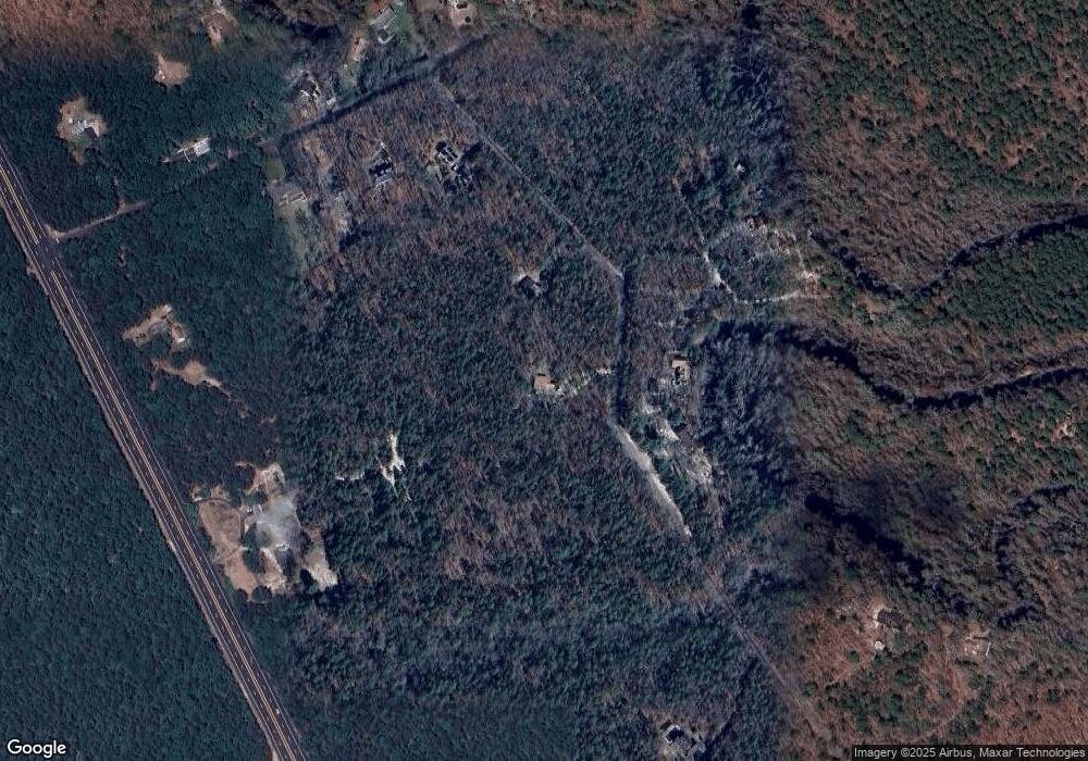
Map
Nearby Homes
- 2015 High Bank Rd
- 7411 Black Horse Pike
- 7390 Black Horse Pike
- 1930 Mccall Ave
- 7322 Black Horse Pike
- First 1st Ave
- 7417 3rd Ave
- 7415 3rd Ave
- 1 Belmont Ave
- 1601 Mccall Ave
- 7684 E Black Horse Pike
- 2216 Evergreen Dr
- 2212 Evergreen Dr
- 7571 Strand Ave
- 3117 N Pinewood Dr
- 1307 Black Horse Pike
- 7340 Venice Blvd
- 0 0 Strand Ave
- 451 9th St
- 0 St Petersburg Ave Unit NJAC2011842
- 7423 Driftwood Ln
- 7426 Driftwood Ln
- 7424 Driftwood Ln
- 7428 Driftwood Ln
- 2020 High Bank Rd
- 7437 High Bank Rd
- 2018 High Bank Rd
- 7438 High Bank Rd
- 2014 High Bank Rd
- 7440 High Bank Rd
- 2012 High Bank Rd
- 7419 Black Horse Pike
- 7439 High Bank Rd
- 7429 Black Horse Pike
- 2019 High Bank Rd
- 2023 High Bank Rd
- 7411 Driftwood Ln
- 2027 High Bank Rd
- 2029 High Bank Rd
- 7414 Driftwood Ln