7422 S Kip Rd South Range, WI 54874
Estimated Value: $225,435 - $331,000
Studio
--
Bath
--
Sq Ft
40
Acres Lot
About This Home
This home is located at 7422 S Kip Rd, South Range, WI 54874 and is currently estimated at $264,609. 7422 S Kip Rd is a home with nearby schools including Superior High School.
Ownership History
Date
Name
Owned For
Owner Type
Purchase Details
Closed on
Dec 17, 2020
Sold by
Hickerson Kathy J
Bought by
Hickerson Donald J
Current Estimated Value
Purchase Details
Closed on
Jul 19, 2012
Sold by
Resh Beverly S
Bought by
Hickerson Donald J
Purchase Details
Closed on
Jul 18, 2012
Sold by
Strejc Ruth
Bought by
Resh Beverly
Purchase Details
Closed on
Jul 11, 2012
Sold by
The Paul D Resh Fam Trust
Bought by
Hickerson Donald J
Purchase Details
Closed on
Jul 3, 2012
Sold by
Simko Steven
Bought by
Hickerson Donald J
Purchase Details
Closed on
Jun 18, 2012
Sold by
Strejc Robert
Bought by
Resh Beverly
Purchase Details
Closed on
Jun 7, 2012
Sold by
Simko Bock Eleanor
Bought by
Simko Steven
Purchase Details
Closed on
Mar 20, 2012
Sold by
Safarik Roger
Bought by
Resh Beverly
Create a Home Valuation Report for This Property
The Home Valuation Report is an in-depth analysis detailing your home's value as well as a comparison with similar homes in the area
Purchase History
| Date | Buyer | Sale Price | Title Company |
|---|---|---|---|
| Hickerson Donald J | $356,800 | -- | |
| Hickerson Donald J | $36,000 | -- | |
| Resh Beverly | $9,800 | -- | |
| Hickerson Donald J | $65,000 | -- | |
| Hickerson Donald J | $7,300 | -- | |
| Resh Beverly | $9,800 | -- | |
| Simko Steven | $3,700 | -- | |
| Resh Beverly | $29,400 | -- |
Source: Public Records
Tax History
| Year | Tax Paid | Tax Assessment Tax Assessment Total Assessment is a certain percentage of the fair market value that is determined by local assessors to be the total taxable value of land and additions on the property. | Land | Improvement |
|---|---|---|---|---|
| 2025 | $2,465 | $194,600 | $70,300 | $124,300 |
| 2024 | $2,029 | $109,500 | $42,100 | $67,400 |
| 2023 | $1,638 | $104,200 | $42,100 | $62,100 |
| 2022 | $1,558 | $104,200 | $42,100 | $62,100 |
| 2021 | $1,731 | $104,200 | $42,100 | $62,100 |
| 2020 | $1,950 | $104,200 | $42,100 | $62,100 |
| 2019 | $1,991 | $104,200 | $42,100 | $62,100 |
| 2018 | $1,673 | $104,200 | $42,100 | $62,100 |
| 2017 | $1,726 | $103,300 | $42,100 | $61,200 |
| 2016 | $1,715 | $103,300 | $42,100 | $61,200 |
| 2015 | $1,029 | $27,700 | $42,100 | $27,700 |
| 2014 | $1,029 | $69,800 | $42,100 | $27,700 |
| 2013 | $1,331 | $69,800 | $42,100 | $27,700 |
Source: Public Records
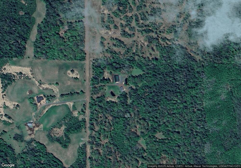
Map
Nearby Homes
- 6659 E County Road B
- Lot 2 40 acres County Road L
- Lot 1 County Road L
- Lot 1 40 acres County Road L
- 6474 S Jacksino Rd
- 8515 S Lyman Lake Rd
- 5600 Otto Rd
- 59XX Tri Lakes Rd
- 5600 Otto Rd
- 6491 S Old Lyman Lake Rd
- 84xx Maki Rd
- 5190 E Koenen Rd
- Lot 2 County Road L
- 4980 E Tri Lakes Rd
- 6526 S County Rd E
- 4822 E Tri Lakes Rd
- 8601 County Road L
- 8280 S County Rd A
- 5138 S County Rd E
- 2910 County Rd E
- 7357 S Kip Rd
- 7425 S Kip Rd
- 7304 S Kip Rd
- 7293 S Kip Rd
- 7501 S Kip Rd
- 6942 E County Road B
- 6922 E County Road B
- 6740 E County Road B
- 74370 E County Road B
- 6998 E County Road B
- 1170 E County Road B
- 1470 E County Road B
- xxxx E County Road B
- XXX E County Road B
- 6851 E County Road B
- 6732 E County Road B
- 6732 E Hwy B
- 6732 E Cty Rd B
- 6760 E County Road B
- 7055 E County Road B
Your Personal Tour Guide
Ask me questions while you tour the home.