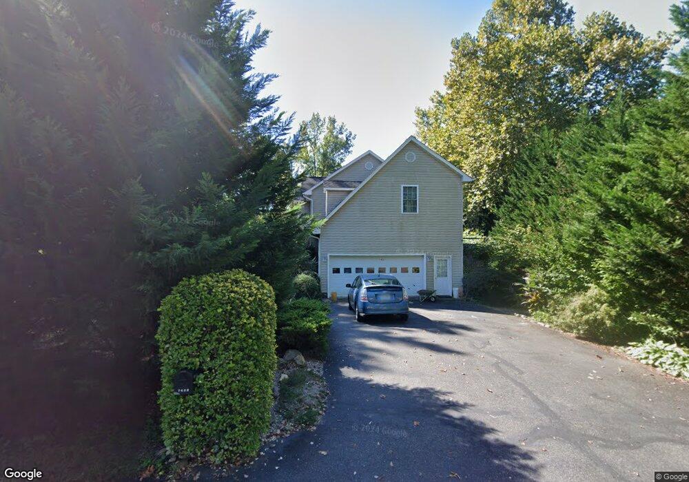
7422 Taft Ct King George, VA 22485
Estimated Value: $428,000 - $464,000
4
Beds
3
Baths
2,200
Sq Ft
$200/Sq Ft
Est. Value
About This Home
This home is located at 7422 Taft Ct, King George, VA 22485 and is currently estimated at $441,099, approximately $200 per square foot. 7422 Taft Ct is a home located in King George County with nearby schools including King George Elementary School, King George Middle School, and King George High School.
Ownership History
Date
Name
Owned For
Owner Type
Purchase Details
Closed on
Aug 16, 2004
Sold by
Lo Pang
Bought by
Nechitallo Nicholas
Current Estimated Value
Home Financials for this Owner
Home Financials are based on the most recent Mortgage that was taken out on this home.
Original Mortgage
$189,000
Outstanding Balance
$94,717
Interest Rate
6.16%
Mortgage Type
New Conventional
Estimated Equity
$346,382
Create a Home Valuation Report for This Property
The Home Valuation Report is an in-depth analysis detailing your home's value as well as a comparison with similar homes in the area
Home Values in the Area
Average Home Value in this Area
Purchase History
| Date | Buyer | Sale Price | Title Company |
|---|---|---|---|
| Nechitallo Nicholas | $286,000 | -- |
Source: Public Records
Mortgage History
| Date | Status | Borrower | Loan Amount |
|---|---|---|---|
| Open | Nechitallo Nicholas | $189,000 |
Source: Public Records
Tax History Compared to Growth
Tax History
| Year | Tax Paid | Tax Assessment Tax Assessment Total Assessment is a certain percentage of the fair market value that is determined by local assessors to be the total taxable value of land and additions on the property. | Land | Improvement |
|---|---|---|---|---|
| 2025 | $2,265 | $333,100 | $60,000 | $273,100 |
| 2024 | $2,265 | $333,100 | $60,000 | $273,100 |
| 2023 | $2,265 | $333,100 | $60,000 | $273,100 |
| 2022 | $2,132 | $333,100 | $60,000 | $273,100 |
| 2021 | $1,745 | $239,000 | $51,000 | $188,000 |
| 2020 | $1,673 | $239,000 | $51,000 | $188,000 |
| 2019 | $1,673 | $239,000 | $51,000 | $188,000 |
| 2018 | $1,673 | $239,000 | $51,000 | $188,000 |
| 2017 | $1,564 | $223,400 | $51,000 | $172,400 |
| 2016 | $1,519 | $223,400 | $51,000 | $172,400 |
| 2015 | -- | $223,400 | $51,000 | $172,400 |
| 2014 | -- | $223,400 | $51,000 | $172,400 |
Source: Public Records
Map
Nearby Homes
- 7369 Buchanan Dr
- 7504 Cleveland Dr
- 0 Jefferson Dr Unit VAKG2006130
- 8008 Washington Dr
- 7224 Washington Dr
- 9397 Inaugural Dr
- 8339 Kennedy Dr
- 0 Dahlgren Rd
- 10468 Johnson Dr
- Lot 19 Roosevelt Dr
- 6615 Stanley Rd
- 0 Kings Hwy Unit VAKG2003792
- 0 Kings Hwy Unit VAKG2002766
- 0 Kings Hwy Unit VAKG2006132
- 9028 Saint Anthonys Rd
- 6025 Winston Place
- 6247 Bobcat Ln
- 12037 Angora Dr
- Spencer Plan at Indiantown Rd
- Patricia Plan at Indiantown Rd
- 7414 Taft Ct
- 10250 Madison Dr
- 7421 Taft Ct
- 86 Taft Ct
- 7404 Taft Ct
- 0 Taft Unit KG8345729
- 0 Taft Unit 1002228022
- 10188 Madison Dr
- Lot 22 Madison Dr
- 0 Taft Ct Unit 1006640958
- 0 Taft Ct Unit KG9534481
- 0 Taft Ct Unit VAKG2005562
- 0 Taft Ct Unit VAKG2005434
- 0 Taft Ct Unit VAKG2001330
- 0 Taft Ct Unit VAKG120256
- 0 Taft Ct Unit VAKG118912
- LOT 86 Taft Ct
- 6169 Polk Ct
- 7403 Taft Ct
- 10197 Madison Dr