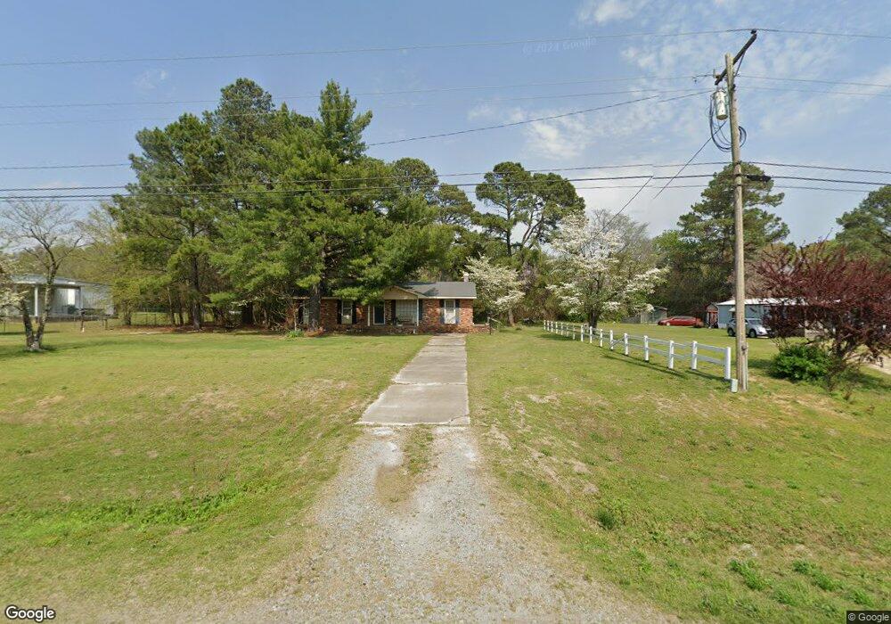
7424 Us Highway 70 W La Grange, NC 28551
Estimated Value: $184,583 - $270,000
3
Beds
2
Baths
1,571
Sq Ft
$142/Sq Ft
Est. Value
About This Home
This home is located at 7424 Us Highway 70 W, La Grange, NC 28551 and is currently estimated at $223,146, approximately $142 per square foot. 7424 Us Highway 70 W is a home located in Lenoir County with nearby schools including La Grange Elementary School, E.B. Frink Middle School, and North Lenoir High School.
Ownership History
Date
Name
Owned For
Owner Type
Purchase Details
Closed on
Nov 28, 2007
Sold by
Corporate Relocation Services Inc
Bought by
Waters Carol M
Current Estimated Value
Home Financials for this Owner
Home Financials are based on the most recent Mortgage that was taken out on this home.
Original Mortgage
$93,500
Outstanding Balance
$65,510
Interest Rate
6.22%
Mortgage Type
USDA
Estimated Equity
$157,636
Purchase Details
Closed on
Jun 20, 2007
Sold by
Kicklighter Bart C and Kicklighter Jessica W
Bought by
Corporate Relocation Services Inc
Create a Home Valuation Report for This Property
The Home Valuation Report is an in-depth analysis detailing your home's value as well as a comparison with similar homes in the area
Home Values in the Area
Average Home Value in this Area
Purchase History
| Date | Buyer | Sale Price | Title Company |
|---|---|---|---|
| Waters Carol M | $93,500 | None Available | |
| Corporate Relocation Services Inc | $99,000 | None Available |
Source: Public Records
Mortgage History
| Date | Status | Borrower | Loan Amount |
|---|---|---|---|
| Open | Waters Carol M | $93,500 |
Source: Public Records
Tax History Compared to Growth
Tax History
| Year | Tax Paid | Tax Assessment Tax Assessment Total Assessment is a certain percentage of the fair market value that is determined by local assessors to be the total taxable value of land and additions on the property. | Land | Improvement |
|---|---|---|---|---|
| 2024 | $828 | $89,508 | $10,024 | $79,484 |
| 2023 | $792 | $89,508 | $10,024 | $79,484 |
| 2022 | $792 | $89,508 | $10,024 | $79,484 |
| 2021 | $792 | $89,508 | $10,024 | $79,484 |
| 2020 | $792 | $89,508 | $10,024 | $79,484 |
| 2019 | $882 | $89,508 | $10,024 | $79,484 |
| 2018 | $779 | $89,508 | $10,024 | $79,484 |
| 2017 | $783 | $89,508 | $10,024 | $79,484 |
| 2014 | $786 | $89,803 | $10,024 | $79,779 |
| 2013 | -- | $89,803 | $10,024 | $79,779 |
| 2011 | -- | $89,803 | $10,024 | $79,779 |
Source: Public Records
Map
Nearby Homes
- Lot #2 Albert Sugg Rd
- 3077 Brakefield Dr
- 3777 Waters Mill Rd
- 6272 Highway 70 E
- 112 Abbey Frank St
- 3619 S Caswell St
- Belhaven Plan at Blair Ridge
- Hayden Plan at Blair Ridge
- Cali Plan at Blair Ridge
- Freeport Plan at Blair Ridge
- 4725 Packhouse Rd
- 217 Wood St
- 210 Wood St
- 208 Wood St
- 201 Wood St
- 204 Wood St
- 205 Wood St
- 206 Wood St
- 202 Wood St
- 3263 N Carolina 903
- 7394 Us Highway 70 W
- 7384 Us Highway 70 W
- 7423 Us Highway 70 W
- 7376 Us Highway 70 W
- 7433 Us Highway 70 W
- 7395 Us Highway 70 W
- 7443 Us Highway 70 W
- 7370 Us Highway 70 W
- 7455 Us Highway 70 W
- 7483 Us Highway 70 W
- 2708 Gregg Dr
- 7521 Us Highway 70 W
- 7468 Us Highway 70 W
- 7522 Us Highway 70 W
- 7533 U S 70
- 2741 Gregg Dr
- 7538 Us Highway 70 W
- 7415 Us Highway 70 W
- 2784 Gregg Dr
- 4335 Robby Rd