7427 Campground Rd Cumming, GA 30040
Estimated Value: $413,000
2
Beds
2
Baths
1,862
Sq Ft
$222/Sq Ft
Est. Value
About This Home
This home is located at 7427 Campground Rd, Cumming, GA 30040 and is currently priced at $413,000, approximately $221 per square foot. 7427 Campground Rd is a home located in Forsyth County with nearby schools including Vickery Creek Middle School, West Forsyth High School, and Covenant Christian Academy.
Ownership History
Date
Name
Owned For
Owner Type
Purchase Details
Closed on
Dec 29, 2020
Sold by
Mooney Jimmy Leon
Bought by
Bettis Berry Phillip and Bettis Wanda L
Current Estimated Value
Home Financials for this Owner
Home Financials are based on the most recent Mortgage that was taken out on this home.
Original Mortgage
$203,368
Interest Rate
2.71%
Mortgage Type
Commercial
Purchase Details
Closed on
Dec 19, 2005
Sold by
Mooney James W and Mooney Barbara A
Bought by
Mooney Jimmy L
Purchase Details
Closed on
Dec 14, 2005
Sold by
Mooney James W
Bought by
Mooney Jimmy L
Create a Home Valuation Report for This Property
The Home Valuation Report is an in-depth analysis detailing your home's value as well as a comparison with similar homes in the area
Home Values in the Area
Average Home Value in this Area
Purchase History
| Date | Buyer | Sale Price | Title Company |
|---|---|---|---|
| Bettis Berry Phillip | $200,000 | -- | |
| Mooney Jimmy L | -- | -- | |
| Mooney Jimmy L | -- | -- |
Source: Public Records
Mortgage History
| Date | Status | Borrower | Loan Amount |
|---|---|---|---|
| Closed | Bettis Berry Phillip | $203,368 |
Source: Public Records
Tax History Compared to Growth
Tax History
| Year | Tax Paid | Tax Assessment Tax Assessment Total Assessment is a certain percentage of the fair market value that is determined by local assessors to be the total taxable value of land and additions on the property. | Land | Improvement |
|---|---|---|---|---|
| 2020 | $0 | $79,800 | $34,888 | $44,912 |
| 2019 | $2,087 | $75,180 | $30,900 | $44,280 |
| 2018 | $1,500 | $54,244 | $29,192 | $25,052 |
| 2017 | $1,275 | $45,956 | $24,920 | $21,036 |
| 2016 | $1,073 | $42,056 | $19,936 | $22,120 |
| 2015 | $1,075 | $42,056 | $19,936 | $22,120 |
| 2014 | $985 | $40,500 | $0 | $0 |
Source: Public Records
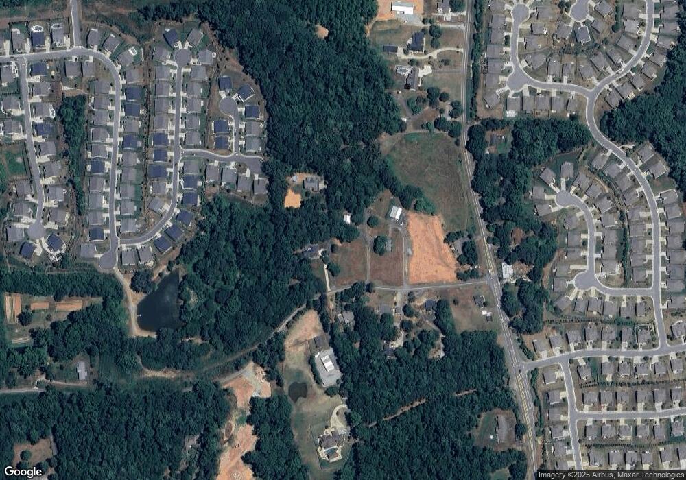
Map
Nearby Homes
- 6415 Yellow Birch St
- 7619 Campground Rd
- 7376 Bates Dr
- 6390 Yellow Birch St
- 6645 Bentley Ridge Dr
- 7330 Oldbury Place
- 6725 Sweet Cherry Ln
- 7480 Trotting Trail
- 7880 Brands Hatch Blvd
- 7460 Trotting Trail
- 7640 Old Camp Landing
- 116 Waverly Dr
- Hendrickson w Bsmt Plan at Bridlefield - Highlands Collection
- Antoinette Plan at Bridlefield - Highlands Collection
- Peterson with Basement Plan at Bridlefield - Manor Collection
- Hendrickson Plan at Bridlefield - Highlands Collection
- Parkmont Plan at Bridlefield - Manor Collection
- Montadale with Basement Plan at Bridlefield - Highlands Collection
- Rosalynn Plan at Bridlefield - Manor Collection
- Antoinette with Basement Plan at Bridlefield - Highlands Collection
- 7411 Campground Rd
- 6835 Henwick Cir
- 6825 Henwick Cir
- 6815 Henwick Cir
- 6845 Henwick Cir
- 6795 Henwick Cir
- 6615 Bentley Rd
- 7395 Campground Rd
- 6785 Henwick Cir
- 6850 Henwick Cir
- 6775 Henwick Cir
- 7507 Campground Rd
- 6820 Henwick Cir
- 6810 Henwick Cir
- 6830 Henwick Cir
- 6840 Henwick Cir
- 6765 Henwick Cir
- 6750 Henwick Cir
- 7514 Campground Rd
- 7383 Campground Rd