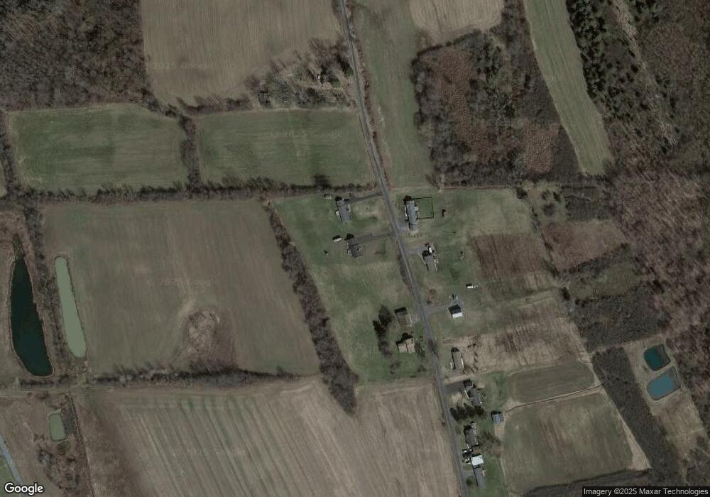
7427 Day Rd Auburn, NY 13021
Estimated Value: $250,000 - $339,000
3
Beds
2
Baths
1,488
Sq Ft
$198/Sq Ft
Est. Value
About This Home
This home is located at 7427 Day Rd, Auburn, NY 13021 and is currently estimated at $294,234, approximately $197 per square foot. 7427 Day Rd is a home with nearby schools including A.A. Gates Elementary School, Port Byron Senior High School, and Ss Peter & Paul Catholic School.
Ownership History
Date
Name
Owned For
Owner Type
Purchase Details
Closed on
Oct 3, 2016
Sold by
Oster Debra
Bought by
Komoroski Greg D
Current Estimated Value
Purchase Details
Closed on
May 24, 2012
Sold by
Lomascolo Joseph and Lomascolo Kathryn
Bought by
Oster Debra
Purchase Details
Closed on
Jan 6, 2011
Sold by
Oster James M
Bought by
Lomascolo Joseph and Lomascolo Kathryn
Home Financials for this Owner
Home Financials are based on the most recent Mortgage that was taken out on this home.
Original Mortgage
$22,000
Interest Rate
10%
Mortgage Type
Seller Take Back
Create a Home Valuation Report for This Property
The Home Valuation Report is an in-depth analysis detailing your home's value as well as a comparison with similar homes in the area
Home Values in the Area
Average Home Value in this Area
Purchase History
| Date | Buyer | Sale Price | Title Company |
|---|---|---|---|
| Komoroski Greg D | $19,500 | None Available | |
| Oster Debra | $21,898 | None Available | |
| Lomascolo Joseph | $27,000 | None Available |
Source: Public Records
Mortgage History
| Date | Status | Borrower | Loan Amount |
|---|---|---|---|
| Previous Owner | Lomascolo Joseph | $22,000 |
Source: Public Records
Tax History Compared to Growth
Tax History
| Year | Tax Paid | Tax Assessment Tax Assessment Total Assessment is a certain percentage of the fair market value that is determined by local assessors to be the total taxable value of land and additions on the property. | Land | Improvement |
|---|---|---|---|---|
| 2024 | $9,723 | $247,600 | $39,500 | $208,100 |
| 2023 | $6,124 | $178,600 | $29,700 | $148,900 |
| 2022 | $2,444 | $178,600 | $29,700 | $148,900 |
| 2021 | $2,406 | $176,800 | $27,900 | $148,900 |
| 2020 | $6,029 | $176,800 | $27,900 | $148,900 |
| 2019 | $2,406 | $176,800 | $27,900 | $148,900 |
| 2018 | $5,732 | $169,300 | $27,900 | $141,400 |
| 2017 | $6,238 | $176,800 | $27,900 | $148,900 |
| 2016 | $341 | $16,900 | $16,900 | $0 |
| 2015 | -- | $16,900 | $16,900 | $0 |
| 2014 | -- | $16,900 | $16,900 | $0 |
Source: Public Records
Map
Nearby Homes
- 7355 Powers Rd
- 7422 Robinson Rd
- 2223 Turnpike Rd
- 7514 State Street Rd
- 7639 State Street Rd
- 7413 State Street Rd
- 2281 Hume Ln
- 7410 Rice Rd
- 2408 Turnpike Rd
- 7959 State Street Rd
- 7459 Potter Rd
- 7321 Potter Rd
- 6970 N Division St
- 7216 Beach Rd
- 26 Bradley St
- 28 Bradley St
- 53 Case Ave
- 55 Case Ave
- 193 Perrine Ave
- 39 Olympia Ave
- 7435 Day Rd
- 7432 Day Rd
- 7422 Day Rd
- 7463 Day Rd
- 7409 Day Rd
- 7408 Day Rd
- 7396 Day Rd
- 0 Day Rd Unit S231906
- 0 Day Rd Unit S281494
- 0 Day Rd Unit S295690
- 0 Day Rd Unit S328928
- 0 Day Rd Unit S1503261
- 0 Day Rd Unit S1430112
- 0 Day Rd Unit S1363888
- 0 Day Rd Unit S1322311
- 0 Day Rd Unit R1273240
- 7390 Day Rd
- 7378 Day Rd
- 7493 Day Rd
- 7374 Day Rd
