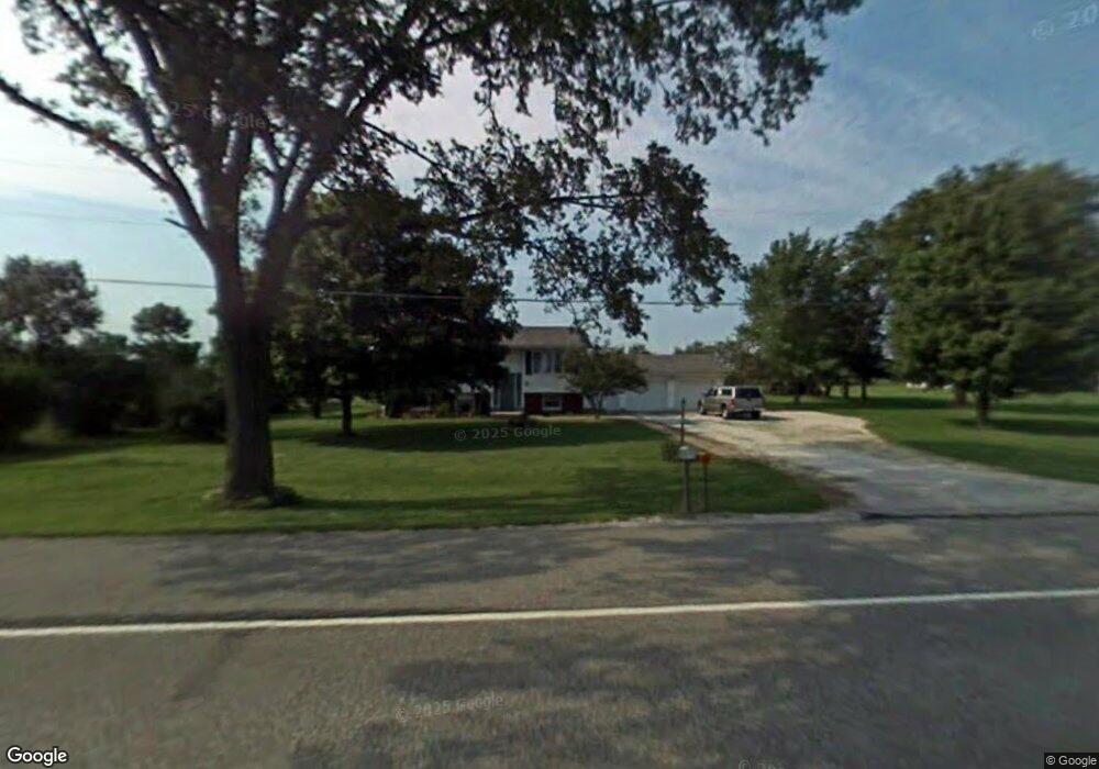
7427 E Us Highway 20 New Carlisle, IN 46552
Estimated Value: $278,842 - $438,000
4
Beds
2
Baths
2,067
Sq Ft
$172/Sq Ft
Est. Value
About This Home
This home is located at 7427 E Us Highway 20, New Carlisle, IN 46552 and is currently estimated at $354,961, approximately $171 per square foot. 7427 E Us Highway 20 is a home located in LaPorte County with nearby schools including New Prairie High School and Sacred Heart Apostolic School.
Ownership History
Date
Name
Owned For
Owner Type
Purchase Details
Closed on
Sep 3, 2021
Sold by
Mcclaran Harry and Mcclaran Susan K
Bought by
Mcclaran Michael G and Carboneau Christine M
Current Estimated Value
Purchase Details
Closed on
Jul 28, 2015
Sold by
Mcclaran Michael G
Bought by
Mcclaran Harry and Mcclaran Susan K
Purchase Details
Closed on
Jul 2, 2014
Sold by
Mcclaran Michael G and Mcclaran Sara K
Bought by
Mcclaran Michael G
Purchase Details
Closed on
Dec 19, 2008
Sold by
Mcclaran Harry and Mcclaran Susan K
Bought by
Mcclaran Michael G and Mcclaran Sara K
Home Financials for this Owner
Home Financials are based on the most recent Mortgage that was taken out on this home.
Original Mortgage
$99,000
Interest Rate
6.19%
Mortgage Type
Seller Take Back
Create a Home Valuation Report for This Property
The Home Valuation Report is an in-depth analysis detailing your home's value as well as a comparison with similar homes in the area
Home Values in the Area
Average Home Value in this Area
Purchase History
| Date | Buyer | Sale Price | Title Company |
|---|---|---|---|
| Mcclaran Michael G | -- | None Available | |
| Mcclaran Harry | -- | Metropolitan Title In Llc | |
| Mcclaran Michael G | -- | None Available | |
| Mcclaran Michael G | -- | Metropolitan Title In Llc |
Source: Public Records
Mortgage History
| Date | Status | Borrower | Loan Amount |
|---|---|---|---|
| Previous Owner | Mcclaran Michael G | $99,000 |
Source: Public Records
Tax History Compared to Growth
Tax History
| Year | Tax Paid | Tax Assessment Tax Assessment Total Assessment is a certain percentage of the fair market value that is determined by local assessors to be the total taxable value of land and additions on the property. | Land | Improvement |
|---|---|---|---|---|
| 2024 | $732 | $222,700 | $48,200 | $174,500 |
| 2022 | $762 | $157,400 | $35,600 | $121,800 |
| 2021 | $410 | $132,900 | $21,600 | $111,300 |
| 2020 | $424 | $132,900 | $21,600 | $111,300 |
| 2019 | $488 | $132,900 | $21,600 | $111,300 |
| 2018 | $457 | $132,900 | $21,600 | $111,300 |
| 2017 | $361 | $125,600 | $21,600 | $104,000 |
| 2016 | $446 | $129,600 | $21,600 | $108,000 |
| 2014 | $1,250 | $158,100 | $15,700 | $142,400 |
| 2013 | $1,101 | $123,200 | $19,600 | $103,600 |
Source: Public Records
Map
Nearby Homes
- 7674 Potato Hole Ct
- 7014 N Bungalow Dr
- 7769 E Bell Ave
- 8196 E Walnut Ridge
- 0 E John Emery Rd
- 54850 County Line Rd
- 54760 County Line Rd
- 55554 County Line Rd
- 55420 County Line Rd
- 33820 Early Rd
- 33810 Early Rd
- 55584 County Line Rd
- 55564 County Line Rd
- 55544 County Line Rd
- 55574 County Line Rd
- 55594 County Line Rd
- 33811 Ferncrest Ct
- 33790 Early Rd
- 33780 Early Rd
- 33770 Early Rd
- 7473 E Us Highway 20
- 7497 E Us Highway 20
- 7373 E Us Highway 20
- 7355 Highway 20
- 7355 E Us Highway 20
- 7303 E Highway 20
- 7303 E Us Highway 20
- 7601 U S 20
- 7601 E Us Highway 20
- 7601 E Us Highway 20
- 6011 N 750 E
- 7619 E Us Highway 20
- 7301 E Highway 20
- 7276 E Chicago Rd
- 7301 E Us Highway 20
- 7645 E Us Highway 20
- 7327 E Chicago Rd
- 7267 E Chicago Rd
- 7299 E Us Highway 20
- 7302 E Us Highway 20