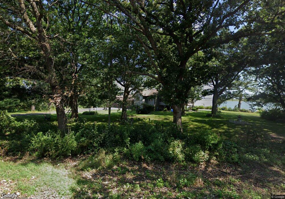
743 112th St Roberts, WI 54023
Warren NeighborhoodEstimated Value: $530,000 - $615,000
4
Beds
2
Baths
--
Sq Ft
1.79
Acres
About This Home
This home is located at 743 112th St, Roberts, WI 54023 and is currently estimated at $564,700. 743 112th St is a home located in St. Croix County with nearby schools including Saint Croix Central Elementary School, Saint Croix Central Middle School, and St. Croix Central High School.
Ownership History
Date
Name
Owned For
Owner Type
Purchase Details
Closed on
Jul 29, 2016
Sold by
Wright Sandra L
Bought by
Rohrer John and Rohrer Elissa
Current Estimated Value
Home Financials for this Owner
Home Financials are based on the most recent Mortgage that was taken out on this home.
Original Mortgage
$159,000
Interest Rate
3.48%
Mortgage Type
New Conventional
Purchase Details
Closed on
Oct 23, 2012
Sold by
Rigwald Walter J
Bought by
Rigwald Walter J and Wright Sandra L
Create a Home Valuation Report for This Property
The Home Valuation Report is an in-depth analysis detailing your home's value as well as a comparison with similar homes in the area
Home Values in the Area
Average Home Value in this Area
Purchase History
| Date | Buyer | Sale Price | Title Company |
|---|---|---|---|
| Rohrer John | $329,000 | Burnet Title | |
| Rigwald Walter J | -- | None Available |
Source: Public Records
Mortgage History
| Date | Status | Borrower | Loan Amount |
|---|---|---|---|
| Previous Owner | Rohrer John | $159,000 |
Source: Public Records
Tax History Compared to Growth
Tax History
| Year | Tax Paid | Tax Assessment Tax Assessment Total Assessment is a certain percentage of the fair market value that is determined by local assessors to be the total taxable value of land and additions on the property. | Land | Improvement |
|---|---|---|---|---|
| 2024 | $55 | $509,300 | $126,000 | $383,300 |
| 2023 | $5,143 | $322,200 | $98,000 | $224,200 |
| 2022 | $4,753 | $322,200 | $98,000 | $224,200 |
| 2021 | $4,819 | $322,200 | $98,000 | $224,200 |
| 2020 | $4,626 | $322,200 | $98,000 | $224,200 |
| 2019 | $4,391 | $322,200 | $98,000 | $224,200 |
| 2018 | $4,550 | $322,200 | $98,000 | $224,200 |
| 2017 | $4,820 | $249,600 | $76,000 | $173,600 |
| 2016 | $4,820 | $249,600 | $76,000 | $173,600 |
| 2015 | $4,289 | $249,600 | $76,000 | $173,600 |
| 2014 | $4,264 | $249,600 | $76,000 | $173,600 |
| 2013 | $4,063 | $249,600 | $76,000 | $173,600 |
Source: Public Records
Map
Nearby Homes
- 640 Franklin St
- 628 Franklin St
- 603 S Division St
- 619 Field Point St
- 617 Field Point St
- 611 Field Point St
- 622 Field Point St
- 610 Field Point St
- 112 W Brewer St
- 405 S Division St
- 1104 60th Ave
- 643 100th St
- 200 N Vine St
- 880 110th St
- 1224 US Highway 12
- 256 Dakota Ave
- 249 (Lot 240) Dakota Ave
- 1129 Briarwood Blvd
- 247 Eagle Ridge Dr
- 238 Eagle Ridge Dr