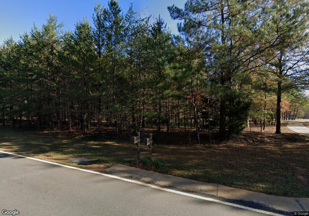
743 Calhoun Rd Hamilton, GA 31811
Estimated Value: $611,000 - $725,374
3
Beds
3
Baths
3,242
Sq Ft
$206/Sq Ft
Est. Value
About This Home
This home is located at 743 Calhoun Rd, Hamilton, GA 31811 and is currently estimated at $668,344, approximately $206 per square foot. 743 Calhoun Rd is a home located in Harris County with nearby schools including Mulberry Creek Elementary School, Harris County Carver Middle School, and Creekside School.
Ownership History
Date
Name
Owned For
Owner Type
Purchase Details
Closed on
Apr 9, 2021
Sold by
Dempsey Carol B
Bought by
Sanders Brian Kaleb and Sanders Tiffany M
Current Estimated Value
Home Financials for this Owner
Home Financials are based on the most recent Mortgage that was taken out on this home.
Original Mortgage
$360,000
Outstanding Balance
$323,189
Interest Rate
3.05%
Mortgage Type
New Conventional
Estimated Equity
$345,155
Purchase Details
Closed on
Sep 13, 2004
Sold by
Dempsey Dempsey R and Dempsey Carol B
Bought by
Dempsey Carol B
Purchase Details
Closed on
Jan 29, 2002
Sold by
Spence Wayne O and Welch Idas R
Bought by
Dempsey Dempsey R and Dempsey Carol B
Purchase Details
Closed on
Jul 3, 2001
Bought by
Spence Wayne O and Idas R Welch J
Create a Home Valuation Report for This Property
The Home Valuation Report is an in-depth analysis detailing your home's value as well as a comparison with similar homes in the area
Home Values in the Area
Average Home Value in this Area
Purchase History
| Date | Buyer | Sale Price | Title Company |
|---|---|---|---|
| Sanders Brian Kaleb | $560,000 | -- | |
| Dempsey Carol B | -- | -- | |
| Dempsey Dempsey R | $220,000 | -- | |
| Spence Wayne O | $75,000 | -- |
Source: Public Records
Mortgage History
| Date | Status | Borrower | Loan Amount |
|---|---|---|---|
| Open | Sanders Brian Kaleb | $360,000 |
Source: Public Records
Tax History Compared to Growth
Tax History
| Year | Tax Paid | Tax Assessment Tax Assessment Total Assessment is a certain percentage of the fair market value that is determined by local assessors to be the total taxable value of land and additions on the property. | Land | Improvement |
|---|---|---|---|---|
| 2025 | $5,632 | $293,554 | $84,184 | $209,370 |
| 2024 | $5,222 | $219,877 | $32,292 | $187,585 |
| 2023 | $4,746 | $219,438 | $32,292 | $187,146 |
| 2022 | $4,985 | $211,184 | $32,292 | $178,892 |
| 2021 | $4,492 | $160,971 | $16,326 | $144,645 |
| 2020 | $3,477 | $124,261 | $16,326 | $107,935 |
| 2019 | $3,353 | $124,261 | $16,326 | $107,935 |
| 2018 | $3,422 | $124,261 | $16,326 | $107,935 |
| 2017 | $3,423 | $124,261 | $16,326 | $107,935 |
| 2015 | $3,086 | $122,550 | $16,326 | $106,224 |
| 2014 | $3,092 | $122,550 | $16,326 | $106,224 |
| 2013 | -- | $122,550 | $16,326 | $106,224 |
Source: Public Records
Map
Nearby Homes
- 00 Mullins Rd
- 0 Hudson Dr Unit 10619818
- 0 Hudson Dr Unit 223658
- 385 Hudson Mill Cir
- 0 Graddick Rd Unit 223256
- 595 Hudson Mill Rd
- 13145
- 0 Mountain Dr Unit Tr 1 8909230
- 44 Big Sky Dr
- 362 Williams St
- 326 Mobley St
- 0 Barnes Mill Rd Unit 221632
- 0 Barnes Mill Rd Unit E101172
- 0 Deer Ridge Dr Unit 16537430
- 0 Deer Ridge Dr Unit 10566083
- 174 Mountain View Dr
- 316 Mountain View Dr
- 575 Mountain View Dr Unit 17B
- 10 Young Ln
- 5072 Ga Highway 116
- 805 Calhoun Rd
- 0 Westbrook Dr Unit 7049648
- 845 Calhoun Rd
- 893 Calhoun Rd
- 885 Calhoun Rd
- 917 Calhoun Rd
- 49 Calhoun Creek Rd
- 955 Calhoun Rd
- 762 Calhoun Rd
- 975 Calhoun Rd
- 722 Calhoun Rd
- 1029 Calhoun Rd
- 989 Calhoun Rd
- 20 Westbrook Dr
- 1007 Calhoun Rd
- Lot 1 Calhoun Rd
- 88 Westbrook Dr
- 93 Calhoun Creek Rd
- 120 Westbrook Dr
- 1049 Calhoun Rd
