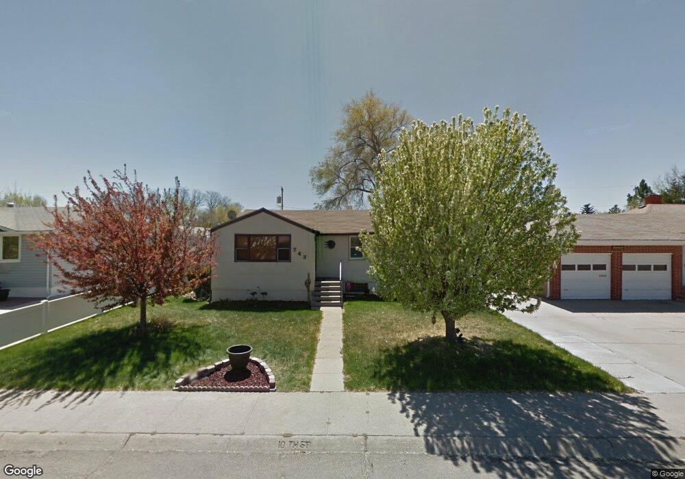
743 E 10th St Alliance, NE 69301
Estimated Value: $107,000 - $116,000
2
Beds
1
Bath
848
Sq Ft
$133/Sq Ft
Est. Value
About This Home
This home is located at 743 E 10th St, Alliance, NE 69301 and is currently estimated at $112,736, approximately $132 per square foot. 743 E 10th St is a home located in Box Butte County with nearby schools including Alliance High School, Immanuel Evangelical Lutheran School, and St. Agnes Academy.
Create a Home Valuation Report for This Property
The Home Valuation Report is an in-depth analysis detailing your home's value as well as a comparison with similar homes in the area
Home Values in the Area
Average Home Value in this Area
Tax History
| Year | Tax Paid | Tax Assessment Tax Assessment Total Assessment is a certain percentage of the fair market value that is determined by local assessors to be the total taxable value of land and additions on the property. | Land | Improvement |
|---|---|---|---|---|
| 2025 | $954 | $83,797 | $6,188 | $77,609 |
| 2024 | $954 | $76,185 | $5,625 | $70,560 |
| 2023 | $1,310 | $76,185 | $5,625 | $70,560 |
| 2022 | $1,375 | $75,488 | $5,313 | $70,175 |
| 2021 | $1,391 | $75,488 | $5,313 | $70,175 |
| 2020 | $1,388 | $75,488 | $5,313 | $70,175 |
| 2019 | $1,355 | $75,488 | $5,313 | $70,175 |
| 2018 | $1,349 | $75,488 | $5,313 | $70,175 |
| 2017 | $944 | $50,857 | $4,063 | $46,794 |
| 2016 | $933 | $50,859 | $4,065 | $46,794 |
| 2015 | $918 | $48,210 | $4,065 | $44,145 |
| 2014 | $918 | $48,208 | $4,063 | $44,145 |
Source: Public Records
Map
Nearby Homes
- TBD Nebraska 87
- 719 E 8th St
- 712 E 7th St
- 620 Hudson Ave
- 1242 Grand Ave
- 612 Grand Ave
- 808 Missouri Ave
- 1231 Missouri Ave
- 1216 Duncan Ave
- 324 Grand Ave
- 112 E 11th St
- 114 W 8th St
- 923 Laramie Ave
- 1007 Laramie Ave
- 1019 Laramie Ave
- 223 Sunset Dr
- 1103 Cheyenne Ave
- 1232 Cheyenne Ave
- 506 Cheyenne Ave
- 719 Toluca Ave
Your Personal Tour Guide
Ask me questions while you tour the home.