743 Gore Rd Onalaska, WA 98570
Estimated Value: $338,288 - $407,000
--
Bed
1
Bath
1,050
Sq Ft
$364/Sq Ft
Est. Value
About This Home
This home is located at 743 Gore Rd, Onalaska, WA 98570 and is currently estimated at $382,322, approximately $364 per square foot. 743 Gore Rd is a home located in Lewis County with nearby schools including Onalaska Elementary School and Onalaska High School.
Ownership History
Date
Name
Owned For
Owner Type
Purchase Details
Closed on
Aug 12, 2016
Sold by
Zylstra John L and Shrek Rental Llc
Bought by
Zylstra John L
Current Estimated Value
Purchase Details
Closed on
Jan 20, 2006
Sold by
Zylstra Leo and Zylstra Pamela
Bought by
Schrex Rental Llc
Create a Home Valuation Report for This Property
The Home Valuation Report is an in-depth analysis detailing your home's value as well as a comparison with similar homes in the area
Home Values in the Area
Average Home Value in this Area
Purchase History
| Date | Buyer | Sale Price | Title Company |
|---|---|---|---|
| Zylstra John L | -- | -- | |
| Schrex Rental Llc | -- | None Available |
Source: Public Records
Tax History Compared to Growth
Tax History
| Year | Tax Paid | Tax Assessment Tax Assessment Total Assessment is a certain percentage of the fair market value that is determined by local assessors to be the total taxable value of land and additions on the property. | Land | Improvement |
|---|---|---|---|---|
| 2025 | $1,630 | $272,300 | $106,500 | $165,800 |
| 2024 | $1,630 | $257,500 | $113,300 | $144,200 |
| 2023 | $1,524 | $231,900 | $83,500 | $148,400 |
| 2022 | $1,335 | $174,200 | $66,200 | $108,000 |
| 2021 | $1,318 | $174,200 | $66,200 | $108,000 |
| 2020 | $1,352 | $152,700 | $55,200 | $97,500 |
| 2019 | $1,217 | $146,600 | $55,200 | $91,400 |
| 2018 | $1,306 | $129,800 | $48,400 | $81,400 |
| 2017 | $1,208 | $126,900 | $48,700 | $78,200 |
| 2016 | $1,151 | $117,500 | $46,400 | $71,100 |
| 2015 | $1,112 | $108,800 | $44,200 | $64,600 |
| 2013 | $1,112 | $108,000 | $44,200 | $63,800 |
Source: Public Records
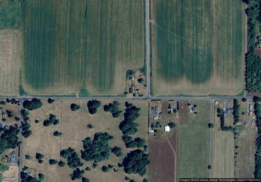
Map
Nearby Homes
- 0 Shanklin Rd Unit NWM2414157
- 109 View Point Dr
- 152 Fuller Rd
- 124 Gilbert Rd S
- 1956 US Highway 12
- 1950 U S 12
- 171 Barrier Dr
- 0 View Ridge Rd Unit NWM2434545
- 0 Spencer Rd Unit 656997086
- 563 Shanklin Rd
- 459 View Ridge Rd
- 378 Burnt Ridge Rd
- 4255 State 508
- 2091 Washington 508
- 182-51 Burchett Rd
- 2833a U S 12 Unit A
- 2484 Spencer Rd
- 234 Smokey
- 148 Burnt Ridge Rd
- 126 Burchett Rd