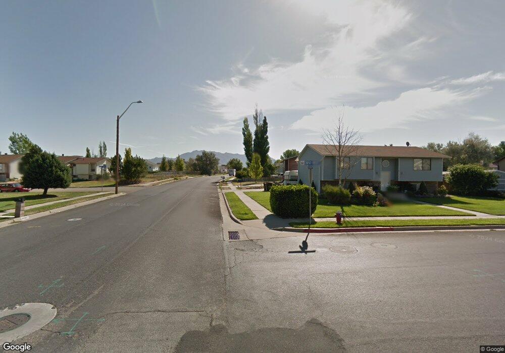
743 S 3950 W Syracuse, UT 84075
Estimated Value: $423,000 - $510,000
3
Beds
2
Baths
1,400
Sq Ft
$329/Sq Ft
Est. Value
About This Home
This home is located at 743 S 3950 W, Syracuse, UT 84075 and is currently estimated at $460,768, approximately $329 per square foot. 743 S 3950 W is a home located in Davis County with nearby schools including West Point School, West Point Junior High School, and Syracuse High School.
Ownership History
Date
Name
Owned For
Owner Type
Purchase Details
Closed on
May 18, 2006
Sold by
Hud
Bought by
Jacobson Paul W and Jacobson Lily
Current Estimated Value
Home Financials for this Owner
Home Financials are based on the most recent Mortgage that was taken out on this home.
Original Mortgage
$47,000
Outstanding Balance
$27,236
Interest Rate
6.41%
Mortgage Type
Fannie Mae Freddie Mac
Estimated Equity
$433,532
Purchase Details
Closed on
Oct 10, 2005
Sold by
Mortgage Electronic Registration Systems
Bought by
Hud
Purchase Details
Closed on
Nov 14, 2001
Sold by
Cambridge Homes Lc
Bought by
Maier Marc Wade
Home Financials for this Owner
Home Financials are based on the most recent Mortgage that was taken out on this home.
Original Mortgage
$127,386
Interest Rate
6.62%
Mortgage Type
FHA
Create a Home Valuation Report for This Property
The Home Valuation Report is an in-depth analysis detailing your home's value as well as a comparison with similar homes in the area
Home Values in the Area
Average Home Value in this Area
Purchase History
| Date | Buyer | Sale Price | Title Company |
|---|---|---|---|
| Jacobson Paul W | -- | Us Title Company Of Utah | |
| Hud | -- | First Southwestern Title | |
| Mortgage Electronic Registration Systems | $136,616 | First Southwestern Title | |
| Maier Marc Wade | -- | Merrill Title Company |
Source: Public Records
Mortgage History
| Date | Status | Borrower | Loan Amount |
|---|---|---|---|
| Open | Jacobson Paul W | $47,000 | |
| Previous Owner | Maier Marc Wade | $127,386 |
Source: Public Records
Tax History Compared to Growth
Tax History
| Year | Tax Paid | Tax Assessment Tax Assessment Total Assessment is a certain percentage of the fair market value that is determined by local assessors to be the total taxable value of land and additions on the property. | Land | Improvement |
|---|---|---|---|---|
| 2025 | $2,263 | $218,350 | $102,898 | $115,452 |
| 2024 | $2,186 | $212,301 | $77,853 | $134,448 |
| 2023 | $2,023 | $358,000 | $123,334 | $234,666 |
| 2022 | $2,165 | $210,100 | $59,288 | $150,812 |
| 2021 | $1,957 | $294,000 | $86,743 | $207,257 |
| 2020 | $1,733 | $252,000 | $67,295 | $184,705 |
| 2019 | $1,679 | $241,000 | $72,496 | $168,504 |
| 2018 | $1,593 | $227,000 | $71,409 | $155,591 |
| 2016 | $1,348 | $100,760 | $31,176 | $69,584 |
| 2015 | $1,294 | $92,070 | $31,176 | $60,894 |
| 2014 | $1,272 | $92,265 | $31,176 | $61,089 |
| 2013 | -- | $88,881 | $30,245 | $58,636 |
Source: Public Records
Map
Nearby Homes
- 835 S Criddle Rd
- 4105 W 550 S
- 3661 W 800 S
- 3649 W 800 S
- 4244 W 625 S
- 3565 W 800 S
- 1084 S 4090 W
- 1039 S 4250 W
- 851 S 3525 W
- 3951 Baltimore Cir
- 364 S 4300 W Unit 610
- 356 S 4300 W Unit 611
- 4443 W 920 S Unit 110
- 3867 Rungsted Cir
- 696 S 4500 W
- Bradford Plan at Harvest Fields
- Avery Plan at Harvest Fields
- Sullivan Plan at Harvest Fields
- Presley Plan at Harvest Fields
- Ashmore Plan at Harvest Fields
- 743 Killarney Dr
- 727 Killarney Dr
- 765 Killarney Dr
- 754 S 3900 W
- 713 Killarney Dr
- 742 S 3900 W
- 742 Killarney Dr
- 742 Killarney Dr Unit 34
- 742 S Bayview Dr
- 728 Killarney Dr
- 3952 W 775 S
- 768 S 3900 W
- 3903 W 700 S
- 714 Killarney Dr
- 732 S 3900 W
- 3968 W 775 S
- 784 Killarney Dr
- 3891 W 700 S
- 784 3900 W
- 741 S 4000 W