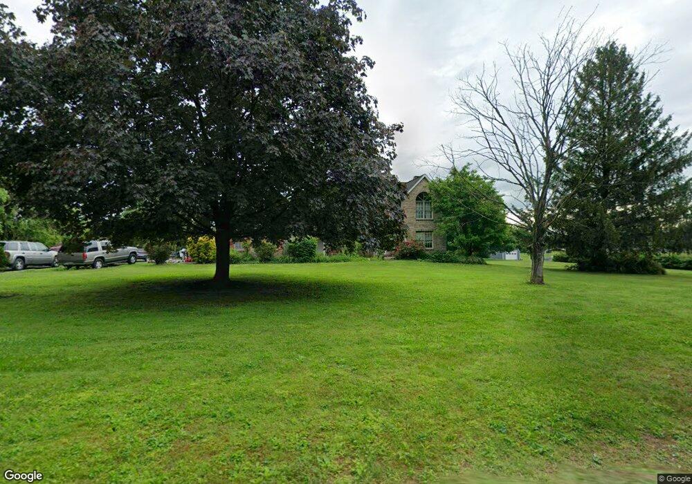
743 Thunder Hill Rd Lincoln University, PA 19352
Estimated Value: $514,000 - $540,000
4
Beds
3
Baths
2,382
Sq Ft
$223/Sq Ft
Est. Value
About This Home
This home is located at 743 Thunder Hill Rd, Lincoln University, PA 19352 and is currently estimated at $530,879, approximately $222 per square foot. 743 Thunder Hill Rd is a home located in Chester County with nearby schools including Avon Grove Intermediate School, Penn London Elementary School, and Fred S Engle Middle School.
Ownership History
Date
Name
Owned For
Owner Type
Purchase Details
Closed on
Sep 25, 1996
Sold by
Samuel Edward and Samuel Sara D
Bought by
Leranian Gary and Leranian Lorrie D
Current Estimated Value
Home Financials for this Owner
Home Financials are based on the most recent Mortgage that was taken out on this home.
Original Mortgage
$150,000
Interest Rate
7.9%
Mortgage Type
Balloon
Create a Home Valuation Report for This Property
The Home Valuation Report is an in-depth analysis detailing your home's value as well as a comparison with similar homes in the area
Home Values in the Area
Average Home Value in this Area
Purchase History
| Date | Buyer | Sale Price | Title Company |
|---|---|---|---|
| Leranian Gary | $175,000 | -- |
Source: Public Records
Mortgage History
| Date | Status | Borrower | Loan Amount |
|---|---|---|---|
| Closed | Leranian Gary | $150,000 |
Source: Public Records
Tax History Compared to Growth
Tax History
| Year | Tax Paid | Tax Assessment Tax Assessment Total Assessment is a certain percentage of the fair market value that is determined by local assessors to be the total taxable value of land and additions on the property. | Land | Improvement |
|---|---|---|---|---|
| 2025 | $6,485 | $160,110 | $35,660 | $124,450 |
| 2024 | $6,485 | $160,110 | $35,660 | $124,450 |
| 2023 | $6,268 | $160,110 | $35,660 | $124,450 |
| 2022 | $6,256 | $160,110 | $35,660 | $124,450 |
| 2021 | $6,126 | $160,110 | $35,660 | $124,450 |
| 2020 | $5,921 | $160,110 | $35,660 | $124,450 |
| 2019 | $5,773 | $160,110 | $35,660 | $124,450 |
| 2018 | $5,626 | $160,110 | $35,660 | $124,450 |
| 2017 | $5,509 | $160,110 | $35,660 | $124,450 |
| 2016 | $4,827 | $160,110 | $35,660 | $124,450 |
| 2015 | $4,827 | $160,110 | $35,660 | $124,450 |
| 2014 | $4,827 | $160,110 | $35,660 | $124,450 |
Source: Public Records
Map
Nearby Homes
- 601 Saginaw Rd
- 109 Mcberty Ct
- 54 Mccormick Way
- 12 Owenwood Dr
- 223 Autumn Hill Dr
- 118 Westview Dr
- 1011 State Rd
- 246 Joseph Rd
- 7 Morningmist Ln
- 602 Kensington Dr
- 213 Joseph Rd
- 44 Morningmist Ln
- 101 Bobcat Way
- 113 Elkview Rd
- 140 Mill House Dr
- 520 Mystic Ln
- 106 1st Ave
- 524 Hodgson Cir
- 100 Hearthside Way Unit HAWTHORNE
- 100 Hearthside Way Unit MAGNOLIA
- 751 Thunder Hill Rd
- 725 Thunder Hill Rd
- 301 Clearfield Dr
- 723 Thunder Hill Rd
- 121 Mount Hope Rd
- 303 Clearfield Dr
- 300 Clearfield Dr
- 157 Mount Hope Rd
- 717 Thunder Hill Rd
- 249 Mount Hope Rd
- 302 Clearfield Dr
- 111 Mount Hope Rd
- 718 Thunder Hill Rd
- 211 Sunset Ln
- 305 Clearfield Dr
- 209 Sunset Ln
- 243 Mount Hope Rd
- 103 Mount Hope Rd
- 219 Mount Hope Rd
- 711 Thunder Hill Rd