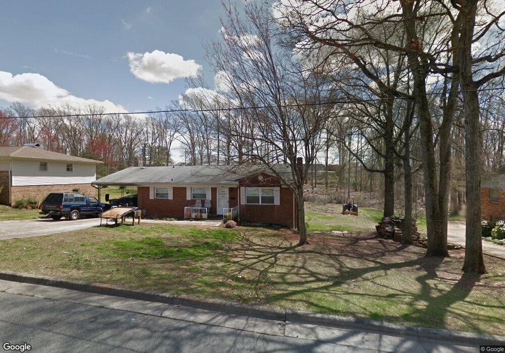
743 William Ave Asheboro, NC 27203
Estimated Value: $212,891 - $241,000
--
Bed
2
Baths
1,260
Sq Ft
$184/Sq Ft
Est. Value
About This Home
This home is located at 743 William Ave, Asheboro, NC 27203 and is currently estimated at $231,973, approximately $184 per square foot. 743 William Ave is a home located in Randolph County with nearby schools including Donna L. Loflin Elementary School, South Asheboro Middle School, and Asheboro High School.
Ownership History
Date
Name
Owned For
Owner Type
Purchase Details
Closed on
Jul 20, 2020
Sold by
Daniel Teresa Green and Daniel Scottie Dewayne
Bought by
Jaimes Victoria Kim and Oca Cesar Jaimes
Current Estimated Value
Home Financials for this Owner
Home Financials are based on the most recent Mortgage that was taken out on this home.
Original Mortgage
$149,216
Outstanding Balance
$132,020
Interest Rate
3.1%
Mortgage Type
FHA
Estimated Equity
$99,954
Create a Home Valuation Report for This Property
The Home Valuation Report is an in-depth analysis detailing your home's value as well as a comparison with similar homes in the area
Home Values in the Area
Average Home Value in this Area
Purchase History
| Date | Buyer | Sale Price | Title Company |
|---|---|---|---|
| Jaimes Victoria Kim | $157,000 | None Available |
Source: Public Records
Mortgage History
| Date | Status | Borrower | Loan Amount |
|---|---|---|---|
| Open | Jaimes Victoria Kim | $149,216 |
Source: Public Records
Tax History Compared to Growth
Tax History
| Year | Tax Paid | Tax Assessment Tax Assessment Total Assessment is a certain percentage of the fair market value that is determined by local assessors to be the total taxable value of land and additions on the property. | Land | Improvement |
|---|---|---|---|---|
| 2025 | $2,537 | $191,430 | $32,240 | $159,190 |
| 2024 | $2,537 | $191,430 | $32,240 | $159,190 |
| 2023 | $2,537 | $191,430 | $32,240 | $159,190 |
| 2022 | $1,941 | $134,630 | $18,770 | $115,860 |
| 2021 | $1,941 | $134,630 | $18,770 | $115,860 |
| 2020 | $1,406 | $97,550 | $18,770 | $78,780 |
| 2019 | $1,406 | $97,550 | $18,770 | $78,780 |
| 2018 | $1,203 | $81,980 | $21,350 | $60,630 |
| 2016 | $1,203 | $81,975 | $21,350 | $60,625 |
| 2015 | $1,205 | $81,975 | $21,350 | $60,625 |
| 2014 | -- | $81,975 | $21,350 | $60,625 |
Source: Public Records
Map
Nearby Homes
- 737 Britt Ave
- 960 Lee St
- 1037 Robbins St
- 828 Windermere Ct
- 855 Lee St
- 806 Windermere Ct
- 627 Lee St
- 617 Uwharrie St Unit N
- 631 W Kivett St
- 211 Armfield Ave
- 209 Armfield Ave
- 401 Uwharrie St
- 922 S Cox St
- 1427 S Fayetteville St
- 724 Sherwood Rd
- 7808 State Highway 49
- 135 Dixon St
- 811 Sherwood Ave
- 350 Stowe Ave Unit 101
- 272 Cheyenne Cir
- 749 William Ave
- 735 William Ave
- 742 William Ave
- 759 William Ave
- 727 William Ave
- 728 William Ave
- 750 William Ave
- 726 William Ave
- 760 William Ave
- 717 William Ave
- 769 William Ave
- 745 Britt Ave
- 720 William Ave
- 766 William Ave
- 751 Britt Ave
- 775 William Ave
- 727 Britt Ave
- 759 Britt Ave
- 710 William Ave
- 949 Uwharrie St