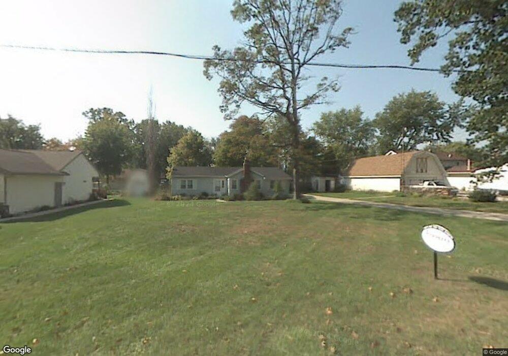
7431 Dunbar Rd Temperance, MI 48182
Estimated Value: $198,000 - $262,369
3
Beds
1
Bath
1,351
Sq Ft
$180/Sq Ft
Est. Value
About This Home
This home is located at 7431 Dunbar Rd, Temperance, MI 48182 and is currently estimated at $242,592, approximately $179 per square foot. 7431 Dunbar Rd is a home located in Monroe County with nearby schools including Douglas Road Elementary School, Bedford Junior High School, and Bedford High School.
Ownership History
Date
Name
Owned For
Owner Type
Purchase Details
Closed on
Jul 24, 1998
Sold by
Dekay James L
Bought by
Burghardt Paulette J
Current Estimated Value
Home Financials for this Owner
Home Financials are based on the most recent Mortgage that was taken out on this home.
Original Mortgage
$76,050
Outstanding Balance
$15,226
Interest Rate
6.75%
Mortgage Type
New Conventional
Estimated Equity
$227,366
Purchase Details
Closed on
Jun 27, 1997
Sold by
Dekay James L
Bought by
Jason Bell
Create a Home Valuation Report for This Property
The Home Valuation Report is an in-depth analysis detailing your home's value as well as a comparison with similar homes in the area
Home Values in the Area
Average Home Value in this Area
Purchase History
| Date | Buyer | Sale Price | Title Company |
|---|---|---|---|
| Burghardt Paulette J | $84,500 | -- | |
| Jason Bell | $23,000 | -- |
Source: Public Records
Mortgage History
| Date | Status | Borrower | Loan Amount |
|---|---|---|---|
| Open | Burghardt Paulette J | $76,050 |
Source: Public Records
Tax History Compared to Growth
Tax History
| Year | Tax Paid | Tax Assessment Tax Assessment Total Assessment is a certain percentage of the fair market value that is determined by local assessors to be the total taxable value of land and additions on the property. | Land | Improvement |
|---|---|---|---|---|
| 2025 | $3,312 | $122,000 | $122,000 | $0 |
| 2024 | $580 | $114,900 | $0 | $0 |
| 2023 | $553 | $97,600 | $0 | $0 |
| 2022 | $2,187 | $97,600 | $0 | $0 |
| 2021 | $2,100 | $100,000 | $0 | $0 |
| 2020 | $1,874 | $83,200 | $0 | $0 |
| 2019 | $1,848 | $83,200 | $0 | $0 |
| 2018 | $1,726 | $76,900 | $0 | $0 |
| 2017 | $1,662 | $76,900 | $0 | $0 |
| 2016 | $512 | $13,000 | $0 | $0 |
| 2015 | $1,726 | $47,800 | $0 | $0 |
| 2014 | $1,726 | $47,800 | $0 | $0 |
| 2013 | $2,136 | $41,700 | $0 | $0 |
Source: Public Records
Map
Nearby Homes
- 2665 Miller St
- 2219 Camden Ln
- 2816 Floyd Rd
- 2863 Wiltshire Dr
- 7104 Stockport Dr
- 6913 Lexington Place
- 2049 W Sterns Rd
- 6911 Summerfield Rd
- 2270 Reddington Dr
- 6886 Stockport Dr
- 7479 Wilfred Dr
- 6644 Douglas Rd
- 3009 Sterns Rd
- 3157 Maplewood Ave
- 3231 Ravine Hollow Ct
- 1670 Spruce Ct Unit 1
- 3216 Ravine Hollow Ct
- 2807 W Smith
- 1660 W Sterns Rd
- 3155 Chanson Valley Rd
- 2435 Fernwood Ave
- 7216 Powlesland Ave
- 7369 Dunbar Rd
- 2441 Fernwood Ave
- 7214 Powlesland Ave
- 7432 Dunbar Rd
- 7370 Dunbar Rd
- 7353 Dunbar Rd
- 2438 Fernwood Ave
- 7434 Dunbar Rd
- 7210 Powlesland Ave
- 0 Dunbar Rd Unit 4169334
- 0 Dunbar Rd Unit 911130
- 7280 Powlesland Ave
- 7215 Powlesland Ave
- 7119 Taylor Ave
- 7354 Dunbar Rd
- 7438 Dunbar Rd
- 7143 Taylor Ave
- 7213 Powlesland Ave