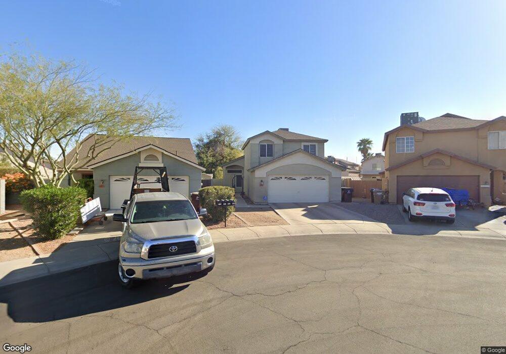
7431 W Sanna St Peoria, AZ 85345
Estimated Value: $347,956 - $439,000
--
Bed
3
Baths
1,901
Sq Ft
$212/Sq Ft
Est. Value
About This Home
This home is located at 7431 W Sanna St, Peoria, AZ 85345 and is currently estimated at $403,239, approximately $212 per square foot. 7431 W Sanna St is a home located in Maricopa County with nearby schools including Ira A Murphy Elementary School, Centennial High School, and Academy of Math & Science - Peoria Advanced.
Ownership History
Date
Name
Owned For
Owner Type
Purchase Details
Closed on
Apr 22, 2008
Sold by
Haverluck Timothy D and Haverluck Rachel
Bought by
Haverluck Timothy D and Haverluck Rachel
Current Estimated Value
Purchase Details
Closed on
Nov 27, 1995
Sold by
U S Home Corp
Bought by
Haverluck Timothy D and Haverluck Rachel
Home Financials for this Owner
Home Financials are based on the most recent Mortgage that was taken out on this home.
Original Mortgage
$102,960
Outstanding Balance
$2,117
Interest Rate
7.42%
Mortgage Type
VA
Estimated Equity
$401,122
Create a Home Valuation Report for This Property
The Home Valuation Report is an in-depth analysis detailing your home's value as well as a comparison with similar homes in the area
Home Values in the Area
Average Home Value in this Area
Purchase History
| Date | Buyer | Sale Price | Title Company |
|---|---|---|---|
| Haverluck Timothy D | -- | None Available | |
| Haverluck Timothy D | $100,942 | Stewart Title & Trust |
Source: Public Records
Mortgage History
| Date | Status | Borrower | Loan Amount |
|---|---|---|---|
| Open | Haverluck Timothy D | $102,960 |
Source: Public Records
Tax History Compared to Growth
Tax History
| Year | Tax Paid | Tax Assessment Tax Assessment Total Assessment is a certain percentage of the fair market value that is determined by local assessors to be the total taxable value of land and additions on the property. | Land | Improvement |
|---|---|---|---|---|
| 2025 | $1,204 | $14,035 | -- | -- |
| 2024 | $1,193 | $13,367 | -- | -- |
| 2023 | $1,193 | $30,950 | $6,190 | $24,760 |
| 2022 | $1,168 | $23,710 | $4,740 | $18,970 |
| 2021 | $1,240 | $22,020 | $4,400 | $17,620 |
| 2020 | $1,275 | $19,000 | $3,800 | $15,200 |
| 2019 | $1,227 | $16,980 | $3,390 | $13,590 |
| 2018 | $1,219 | $17,730 | $3,540 | $14,190 |
| 2017 | $1,268 | $14,170 | $2,830 | $11,340 |
| 2016 | $1,249 | $13,220 | $2,640 | $10,580 |
| 2015 | $1,146 | $12,580 | $2,510 | $10,070 |
Source: Public Records
Map
Nearby Homes
- 9167 N 73rd Ln
- 7133 W Hatcher Rd
- 9672 N 72nd Ave
- 7040 W Olive Ave Unit 94
- 8927 N 70th Ave
- 6942 W Olive Ave Unit 30
- 6942 W Olive Ave Unit 108
- 6942 W Olive Ave Unit 114
- 6942 W Olive Ave Unit 20
- 6942 W Olive Ave Unit 44
- 6942 W Olive Ave Unit 73
- 6942 W Olive Ave Unit 45
- 7336 W Cheryl Dr
- 7508 W Beryl Ave
- 8601 N 71st Ave Unit 100
- 8601 N 71st Ave Unit 166
- 8601 N 71st Ave Unit 147
- 8601 N 71st Ave Unit 45
- 8601 N 71st Ave Unit 174
- 8601 N 71st Ave Unit 77