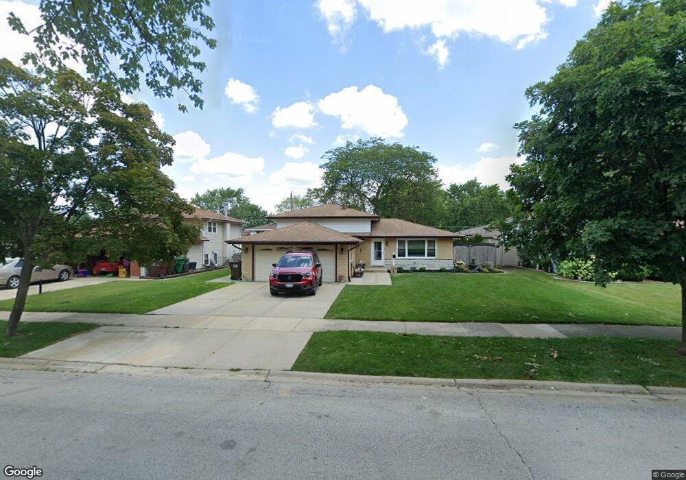
7436 170th St Tinley Park, IL 60477
Centennial Park NeighborhoodEstimated Value: $320,000 - $358,000
3
Beds
2
Baths
1,095
Sq Ft
$306/Sq Ft
Est. Value
About This Home
This home is located at 7436 170th St, Tinley Park, IL 60477 and is currently estimated at $334,713, approximately $305 per square foot. 7436 170th St is a home located in Cook County with nearby schools including John A Bannes Elementary School, Virgil I Grissom Middle School, and Victor J Andrew High School.
Ownership History
Date
Name
Owned For
Owner Type
Purchase Details
Closed on
May 28, 2024
Sold by
Roat Richard J and Dodge-Roat Mary J
Bought by
Mary Dodge-Roat Living Trust and Dodge-Roat
Current Estimated Value
Purchase Details
Closed on
Oct 14, 1996
Sold by
Wilson Douglas L and Wilson Judith L
Bought by
Roat Richard J and Dodge Roat Mary J
Home Financials for this Owner
Home Financials are based on the most recent Mortgage that was taken out on this home.
Original Mortgage
$127,700
Interest Rate
7.75%
Create a Home Valuation Report for This Property
The Home Valuation Report is an in-depth analysis detailing your home's value as well as a comparison with similar homes in the area
Home Values in the Area
Average Home Value in this Area
Purchase History
| Date | Buyer | Sale Price | Title Company |
|---|---|---|---|
| Mary Dodge-Roat Living Trust | -- | None Listed On Document | |
| Roat Richard J | $134,500 | -- |
Source: Public Records
Mortgage History
| Date | Status | Borrower | Loan Amount |
|---|---|---|---|
| Previous Owner | Roat Richard J | $127,700 |
Source: Public Records
Tax History Compared to Growth
Tax History
| Year | Tax Paid | Tax Assessment Tax Assessment Total Assessment is a certain percentage of the fair market value that is determined by local assessors to be the total taxable value of land and additions on the property. | Land | Improvement |
|---|---|---|---|---|
| 2024 | $6,117 | $26,048 | $4,290 | $21,758 |
| 2023 | $4,756 | $28,000 | $4,290 | $23,710 |
| 2022 | $4,756 | $19,500 | $3,039 | $16,461 |
| 2021 | $3,881 | $19,498 | $3,038 | $16,460 |
| 2020 | $3,521 | $19,498 | $3,038 | $16,460 |
| 2019 | $3,756 | $21,591 | $2,681 | $18,910 |
| 2018 | $3,682 | $21,591 | $2,681 | $18,910 |
| 2017 | $3,521 | $21,591 | $2,681 | $18,910 |
| 2016 | $5,305 | $18,469 | $2,502 | $15,967 |
| 2015 | $5,207 | $18,469 | $2,502 | $15,967 |
| 2014 | $5,180 | $18,469 | $2,502 | $15,967 |
| 2013 | $5,288 | $20,140 | $2,502 | $17,638 |
Source: Public Records
Map
Nearby Homes
- 7218 Sandy Ln
- 16750 Harlem Ave
- 7632 Hanover Dr
- 16726 Westwind Ct
- 7124 168th St
- 7025 167th St Unit B
- 7131 166th St Unit 101
- 16957 Sayre Ave
- 16610 76th Ave
- 16531 76th Ave
- 7278 173rd Place
- 7505 165th St
- 7110 Coachwood Trail Unit none
- 16500 76th Ave
- 7727 166th St
- 16666 Parliament Ave
- 16705 Paxton Ave
- 7913 Paxton Ave Unit 1W
- 7810 166th Place
- 6815 169th St