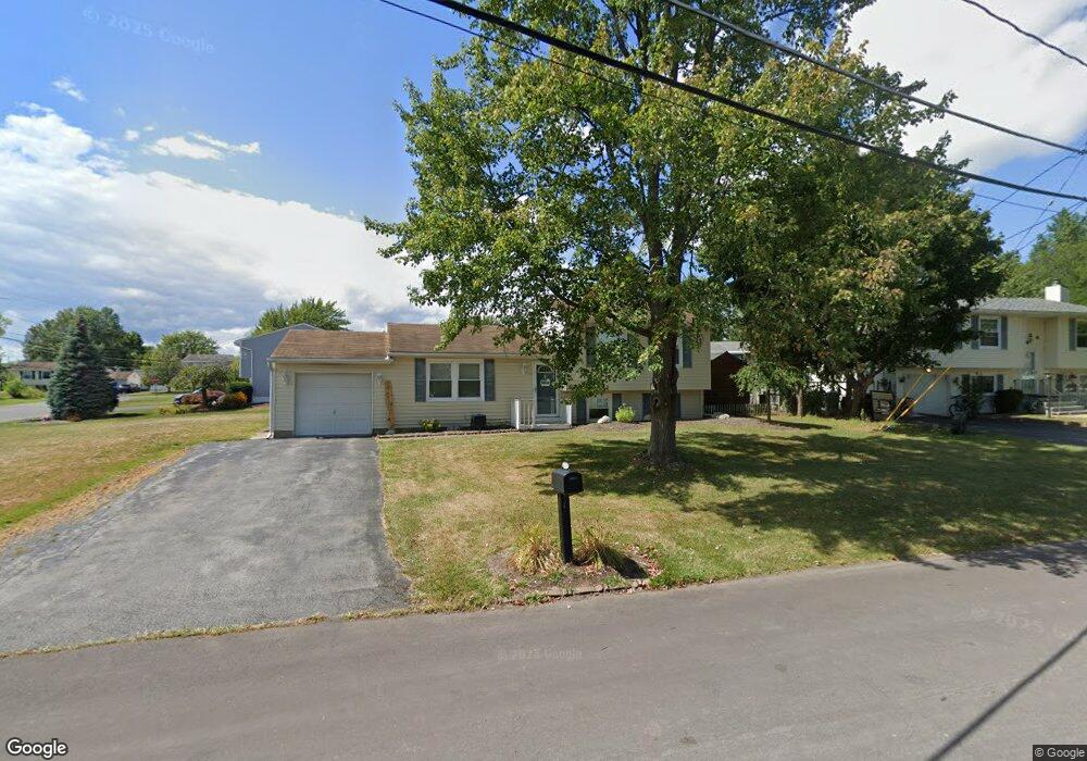
7436 Farmstead Rd Liverpool, NY 13088
Estimated Value: $256,631 - $278,000
3
Beds
1
Bath
1,325
Sq Ft
$202/Sq Ft
Est. Value
About This Home
This home is located at 7436 Farmstead Rd, Liverpool, NY 13088 and is currently estimated at $267,408, approximately $201 per square foot. 7436 Farmstead Rd is a home located in Onondaga County with nearby schools including Donlin Drive Elementary School, Chestnut Hill Elementary School, and Chestnut Hill Middle School.
Ownership History
Date
Name
Owned For
Owner Type
Purchase Details
Closed on
May 15, 2015
Sold by
Cook Michelle
Bought by
Cook Michelle
Current Estimated Value
Purchase Details
Closed on
Jul 10, 2000
Sold by
Petrivelli William P and Petrivelli Sharon P
Bought by
Frank Kevin J
Purchase Details
Closed on
Sep 22, 1995
Sold by
Luteran Edward R and Luteran Dolores
Bought by
Petrivelli William P and Petrivelli Sharon P
Create a Home Valuation Report for This Property
The Home Valuation Report is an in-depth analysis detailing your home's value as well as a comparison with similar homes in the area
Home Values in the Area
Average Home Value in this Area
Purchase History
| Date | Buyer | Sale Price | Title Company |
|---|---|---|---|
| Cook Michelle | -- | Stephen S. Karp | |
| Frank Kevin J | $76,500 | Steve Karp | |
| Petrivelli William P | $68,000 | -- |
Source: Public Records
Tax History Compared to Growth
Tax History
| Year | Tax Paid | Tax Assessment Tax Assessment Total Assessment is a certain percentage of the fair market value that is determined by local assessors to be the total taxable value of land and additions on the property. | Land | Improvement |
|---|---|---|---|---|
| 2024 | $4,293 | $4,500 | $1,000 | $3,500 |
| 2023 | $5,151 | $4,500 | $1,000 | $3,500 |
| 2022 | $5,151 | $4,500 | $1,000 | $3,500 |
| 2021 | $5,092 | $4,500 | $1,000 | $3,500 |
| 2020 | $4,117 | $4,500 | $1,000 | $3,500 |
| 2019 | $1,747 | $4,500 | $1,000 | $3,500 |
| 2018 | $3,992 | $4,500 | $1,000 | $3,500 |
| 2017 | $1,686 | $4,500 | $1,000 | $3,500 |
| 2016 | $3,856 | $4,500 | $1,000 | $3,500 |
| 2015 | -- | $4,500 | $1,000 | $3,500 |
| 2014 | -- | $4,500 | $1,000 | $3,500 |
Source: Public Records
Map
Nearby Homes
- 7369 Cedar Post Rd
- 0 Buckley Rd
- 4936 Windgate Rd
- 7385 Oakpost Rd
- 5039 Briarledge Rd
- 4960 Harvest Ln
- 4913 Look Kinney Cir
- 7479 Thunderbird Rd
- 4987 Dahlia Cir
- 4316 Lazybrook Cir
- 7504 Meadow Wood Dr
- 7593 Daphne Dr
- 4910 Dahlia Cir
- 4976 W Taft Rd
- 5065 Bear Rd
- 7617 Fitzpatrick Dr
- 4970 Woodmark Dr
- 105 Rebecca St
- 5131 Bear Rd
- 4959 Wintersweet Dr
- 4991 Cassidy Ln
- 7434 Farmstead Rd
- 4993 Windgate Rd
- 7433 Farmstead Rd
- 7438 Farmstead Rd
- 4991 Windgate Rd
- 4995 Windgate Rd
- 7435 Farmstead Rd
- 7431 Farmstead Rd
- 7432 Farmstead Rd
- 4990 Cassidy Ln
- 7437 Farmstead Rd
- 4987 Windgate Rd
- 4997 Windgate Rd
- 7440 Farmstead Rd
- 7427 Farmstead Rd
- 7419 Ventura Cir
- 7439 Farmstead Rd
- 7430 Farmstead Rd
- 7417 Ventura Cir