7436 High Bank Rd Mays Landing, NJ 08330
Estimated Value: $361,710 - $455,000
--
Bed
--
Bath
1,960
Sq Ft
$211/Sq Ft
Est. Value
About This Home
This home is located at 7436 High Bank Rd, Mays Landing, NJ 08330 and is currently estimated at $413,928, approximately $211 per square foot. 7436 High Bank Rd is a home located in Atlantic County with nearby schools including Joseph Shaner School, George L. Hess Educational Complex, and William Davies Middle School.
Ownership History
Date
Name
Owned For
Owner Type
Purchase Details
Closed on
Nov 2, 2015
Sold by
Gordon Chritine
Bought by
Mickle Sharon
Current Estimated Value
Purchase Details
Closed on
Feb 11, 1991
Sold by
Davis Robert B
Bought by
Davis Kathryn M
Create a Home Valuation Report for This Property
The Home Valuation Report is an in-depth analysis detailing your home's value as well as a comparison with similar homes in the area
Home Values in the Area
Average Home Value in this Area
Purchase History
| Date | Buyer | Sale Price | Title Company |
|---|---|---|---|
| Mickle Sharon | $190,000 | Landis Title Corp | |
| Davis Kathryn M | -- | -- |
Source: Public Records
Tax History Compared to Growth
Tax History
| Year | Tax Paid | Tax Assessment Tax Assessment Total Assessment is a certain percentage of the fair market value that is determined by local assessors to be the total taxable value of land and additions on the property. | Land | Improvement |
|---|---|---|---|---|
| 2025 | $8,221 | $239,600 | $59,600 | $180,000 |
| 2024 | $8,221 | $239,600 | $59,600 | $180,000 |
| 2023 | $7,730 | $239,600 | $59,600 | $180,000 |
| 2022 | $7,730 | $239,600 | $59,600 | $180,000 |
| 2021 | $7,713 | $239,600 | $59,600 | $180,000 |
| 2020 | $7,713 | $239,600 | $59,600 | $180,000 |
| 2019 | $7,732 | $239,600 | $59,600 | $180,000 |
| 2018 | $7,461 | $239,600 | $59,600 | $180,000 |
| 2017 | $7,344 | $239,600 | $59,600 | $180,000 |
| 2016 | $7,138 | $239,600 | $59,600 | $180,000 |
| 2015 | $6,896 | $239,600 | $59,600 | $180,000 |
| 2014 | $6,575 | $259,800 | $68,500 | $191,300 |
Source: Public Records
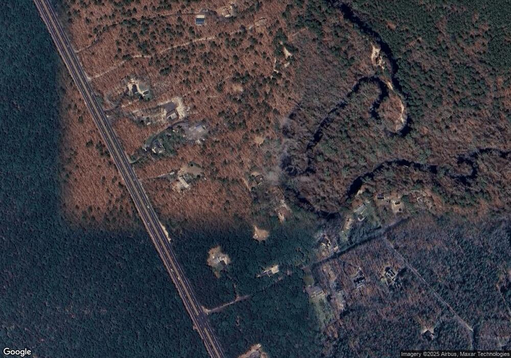
Map
Nearby Homes
- 2015 High Bank Rd
- 7411 Black Horse Pike
- 7390 Black Horse Pike
- 1930 Mccall Ave
- First 1st Ave
- 7417 3rd Ave
- 7415 3rd Ave
- 7322 Black Horse Pike
- 7684 E Black Horse Pike
- 1601 Mccall Ave
- 1 Belmont Ave
- 2216 Evergreen Dr
- 2212 Evergreen Dr
- 3117 N Pinewood Dr
- 7571 Strand Ave
- 1307 Black Horse Pike
- 7340 Venice Blvd
- 451 9th St
- 1206 Black Horse Park
- 1528 Mays Landing Rd
- 7434 High Bank Rd
- 7434 High Bank Rd
- 7428 High Bank Rd
- 7437 Black Horse Pike
- 2001 High Bank Rd
- 2009 High Bank Rd
- 2019 High Bank Rd
- 2023 High Bank Rd
- 7439 Black Horse Pike
- 7445 Black Horse Pike
- 7447 Black Horse Pike
- 7441 Black Horse Pike
- 2027 High Bank Rd
- 2012 High Bank Rd
- 2014 High Bank Rd
- 7444 High Bank Rd
- 2018 High Bank Rd
- 2029 High Bank Rd
- 2020 High Bank Rd
- 7449 Black Horse Pike