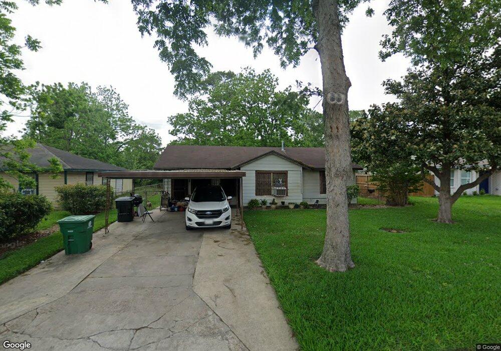
7437 Caddo Rd Houston, TX 77016
East Little York NeighborhoodEstimated Value: $146,171 - $178,000
3
Beds
1
Bath
1,090
Sq Ft
$147/Sq Ft
Est. Value
About This Home
This home is located at 7437 Caddo Rd, Houston, TX 77016 and is currently estimated at $160,293, approximately $147 per square foot. 7437 Caddo Rd is a home located in Harris County with nearby schools including Shadydale Elementary School, Forest Brook Middle, and North Forest High School.
Ownership History
Date
Name
Owned For
Owner Type
Purchase Details
Closed on
Apr 24, 2000
Sold by
Wesley Charles James and Wesley O
Bought by
Wesley O J and Wesley Lou Berta
Current Estimated Value
Home Financials for this Owner
Home Financials are based on the most recent Mortgage that was taken out on this home.
Original Mortgage
$34,400
Outstanding Balance
$11,751
Interest Rate
8.19%
Mortgage Type
Credit Line Revolving
Estimated Equity
$148,542
Purchase Details
Closed on
Oct 4, 1996
Sold by
Wesley O J and Wesley Lou Berta
Bought by
Wesley Charles James
Create a Home Valuation Report for This Property
The Home Valuation Report is an in-depth analysis detailing your home's value as well as a comparison with similar homes in the area
Home Values in the Area
Average Home Value in this Area
Purchase History
| Date | Buyer | Sale Price | Title Company |
|---|---|---|---|
| Wesley O J | -- | -- | |
| Wesley Charles James | -- | -- |
Source: Public Records
Mortgage History
| Date | Status | Borrower | Loan Amount |
|---|---|---|---|
| Open | Wesley O J | $34,400 |
Source: Public Records
Tax History Compared to Growth
Tax History
| Year | Tax Paid | Tax Assessment Tax Assessment Total Assessment is a certain percentage of the fair market value that is determined by local assessors to be the total taxable value of land and additions on the property. | Land | Improvement |
|---|---|---|---|---|
| 2025 | $2,354 | $116,688 | $53,070 | $63,618 |
| 2024 | $2,354 | $112,488 | $53,070 | $59,418 |
| 2023 | $2,354 | $117,948 | $43,920 | $74,028 |
| 2022 | $2,108 | $95,748 | $36,600 | $59,148 |
| 2021 | $1,922 | $82,457 | $27,450 | $55,007 |
| 2020 | $1,738 | $71,783 | $19,032 | $52,751 |
| 2019 | $1,646 | $65,049 | $12,517 | $52,532 |
| 2018 | $1,319 | $52,144 | $12,517 | $39,627 |
| 2017 | $961 | $52,144 | $12,517 | $39,627 |
| 2016 | $874 | $52,144 | $12,517 | $39,627 |
| 2015 | -- | $40,223 | $12,517 | $27,706 |
| 2014 | -- | $33,871 | $12,517 | $21,354 |
Source: Public Records
Map
Nearby Homes
- 7402 Yoe St
- 7305 Yoe St
- 7306 Parker Rd
- 10106 Cheeves Dr
- 7252 Parker Rd
- 10101 Rebel Rd
- 10125 Rebel Rd
- 7603 Caddo Rd
- 0 Wileyvale Rd Unit 37533417
- 0 Laura Koppe Rd Unit 64066450
- 0 Lockwood Unit 97801497
- 0 Wileyvale Rd Unit 98938709
- 0 Bretshire Dr Unit 83088734
- 0 Bretshire Dr Unit 61965426
- 7338 Bigwood St
- 10206 Cheeves Dr
- 7234 Boggess Rd
- 7220 Parker Rd
- 7818 Laurel Gem Dr
- 7827 Laurel Gem Dr