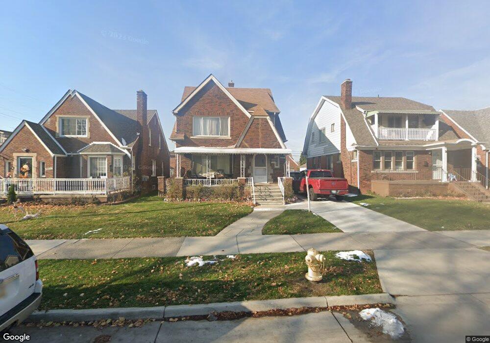
7437 Middlepointe St Dearborn, MI 48126
Aviation NeighborhoodEstimated Value: $324,000 - $405,000
5
Beds
4
Baths
2,168
Sq Ft
$165/Sq Ft
Est. Value
About This Home
This home is located at 7437 Middlepointe St, Dearborn, MI 48126 and is currently estimated at $358,580, approximately $165 per square foot. 7437 Middlepointe St is a home located in Wayne County with nearby schools including McDonald Elementary School, McCollough-Unis School, and Fordson High School.
Ownership History
Date
Name
Owned For
Owner Type
Purchase Details
Closed on
Sep 20, 2016
Sold by
Chalhoub Ali and Chalhoub Nivine
Bought by
Tanan Siham Mahmoud
Current Estimated Value
Purchase Details
Closed on
Feb 10, 2010
Sold by
El Achkar Mohamed and Achkar Mike
Bought by
Chalhoub Ali
Purchase Details
Closed on
Jul 10, 2002
Sold by
Nehme Kmaiha Khalil and Nehme Krauem
Bought by
El Achkar Mohamed
Purchase Details
Closed on
Dec 11, 2000
Sold by
Nahle Lina
Bought by
Kmaiha Khalil
Create a Home Valuation Report for This Property
The Home Valuation Report is an in-depth analysis detailing your home's value as well as a comparison with similar homes in the area
Home Values in the Area
Average Home Value in this Area
Purchase History
| Date | Buyer | Sale Price | Title Company |
|---|---|---|---|
| Tanan Siham Mahmoud | $35,000 | None Available | |
| Chalhoub Ali | $28,000 | Bell Title | |
| El Achkar Mohamed | $182,500 | Professional Real Estate Tit | |
| Kmaiha Khalil | $170,000 | -- |
Source: Public Records
Tax History
| Year | Tax Paid | Tax Assessment Tax Assessment Total Assessment is a certain percentage of the fair market value that is determined by local assessors to be the total taxable value of land and additions on the property. | Land | Improvement |
|---|---|---|---|---|
| 2025 | $3,717 | $151,300 | $0 | $0 |
| 2024 | $3,697 | $118,700 | $0 | $0 |
| 2023 | $3,375 | $112,700 | $0 | $0 |
| 2022 | $3,848 | $92,700 | $0 | $0 |
| 2021 | $4,167 | $87,300 | $0 | $0 |
| 2019 | $4,117 | $71,600 | $0 | $0 |
| 2018 | $3,537 | $63,800 | $0 | $0 |
| 2017 | $914 | $56,200 | $0 | $0 |
| 2016 | $3,419 | $56,500 | $0 | $0 |
| 2015 | $5,244 | $57,550 | $0 | $0 |
| 2013 | $5,080 | $50,800 | $0 | $0 |
| 2011 | -- | $57,750 | $0 | $0 |
Source: Public Records
Map
Nearby Homes
- 7634 Pinehurst St
- 7900 Middlepointe St
- 7658 Appoline St
- 10339 Tireman Ave
- 7815 Normile St
- 7929 Normile St
- 8100 Middlepoint St
- 7524 Hartwell St
- 8511 Lonyo St
- 7857 Esper Blvd
- 12953 Tireman Ave
- 7758 Reuter St
- 8048 Kentucky St
- 8116 Wyoming Ave
- 8205 Appoline St
- 8258 Meyers Rd
- 55 Morross Cir Unit 7
- 8315 Freda St
- 8805 Whitlock Ave
- 30 Morross Cir Unit 44
- 7445 Middlepointe St
- 7431 Middlepointe St
- 7455 Middlepointe St
- 7436 Theisen St
- 7511 Middlepointe St
- 7444 Theisen St
- 10436 S Morrow Cir
- 7426 Theisen St
- 10426 S Morrow Cir
- 7500 Theisen St
- 10450 S Morrow Cir
- 7515 Middlepointe St
- 7512 Theisen St
- 7440 Middlepointe St
- 7450 Middlepointe St
- 10460 S Morrow Cir
- 10390 S Morrow Cir
- 7521 Middlepointe St
- 7430 Middlepointe St
- 7518 Theisen St
Your Personal Tour Guide
Ask me questions while you tour the home.