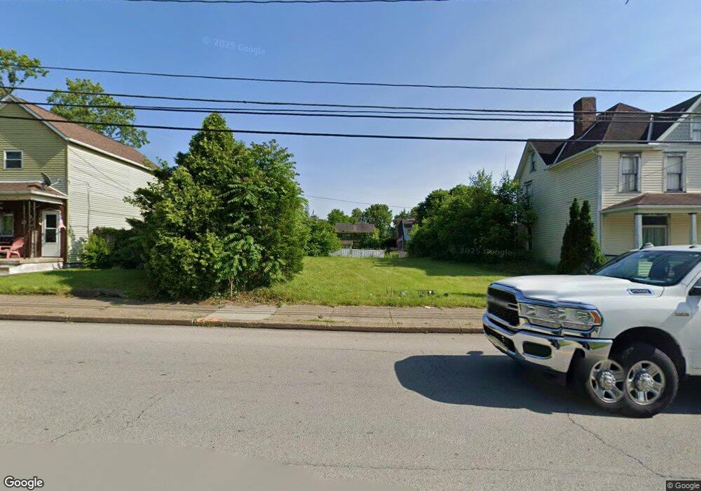
744 7th St New Kensington, PA 15068
Estimated Value: $109,000 - $126,000
--
Bed
--
Bath
--
Sq Ft
6,229
Sq Ft Lot
About This Home
This home is located at 744 7th St, New Kensington, PA 15068 and is currently estimated at $114,760. 744 7th St is a home located in Westmoreland County with nearby schools including Mary Queen of Apostles School.
Ownership History
Date
Name
Owned For
Owner Type
Purchase Details
Closed on
Feb 27, 2007
Sold by
Allegheny Valley Habitat For Humanity
Bought by
Mazziotti Amy Lynn
Current Estimated Value
Home Financials for this Owner
Home Financials are based on the most recent Mortgage that was taken out on this home.
Original Mortgage
$60,000
Outstanding Balance
$36,337
Interest Rate
6.27%
Mortgage Type
Seller Take Back
Estimated Equity
$78,423
Purchase Details
Closed on
Nov 17, 2006
Sold by
Turner Maurice A and Turner Denise T
Bought by
Allegheny Valley Habitat For Humanity
Create a Home Valuation Report for This Property
The Home Valuation Report is an in-depth analysis detailing your home's value as well as a comparison with similar homes in the area
Home Values in the Area
Average Home Value in this Area
Purchase History
| Date | Buyer | Sale Price | Title Company |
|---|---|---|---|
| Mazziotti Amy Lynn | $60,000 | None Available | |
| Allegheny Valley Habitat For Humanity | $40,000 | None Available |
Source: Public Records
Mortgage History
| Date | Status | Borrower | Loan Amount |
|---|---|---|---|
| Open | Mazziotti Amy Lynn | $60,000 |
Source: Public Records
Tax History Compared to Growth
Tax History
| Year | Tax Paid | Tax Assessment Tax Assessment Total Assessment is a certain percentage of the fair market value that is determined by local assessors to be the total taxable value of land and additions on the property. | Land | Improvement |
|---|---|---|---|---|
| 2025 | $581 | $3,640 | $3,640 | $0 |
| 2024 | $576 | $3,640 | $3,640 | $0 |
| 2023 | $545 | $3,640 | $3,640 | $0 |
| 2022 | $528 | $3,640 | $3,640 | $0 |
| 2021 | $516 | $3,640 | $3,640 | $0 |
| 2020 | $505 | $3,640 | $3,640 | $0 |
| 2019 | $492 | $3,640 | $3,640 | $0 |
| 2018 | $485 | $3,640 | $3,640 | $0 |
| 2017 | $478 | $3,640 | $3,640 | $0 |
| 2016 | $478 | $3,640 | $3,640 | $0 |
| 2015 | $478 | $3,640 | $3,640 | $0 |
| 2014 | $459 | $3,640 | $3,640 | $0 |
Source: Public Records
Map
Nearby Homes
- 159 Freeport Rd
- 168 Short St
- 254 Ridge Ave
- 512 Linden Ave
- 546 3rd Ave Unit 548
- 486 McCargo St
- 318 Ridge Ave
- 1025 Kenneth Ave
- 445 5th Ave
- 327 Charles Ave
- 414 Argonne Dr
- 404 Argonne Dr
- Lots 12-14 Ross Ave
- 357 Keystone Dr
- 324 Main St
- 1134 Leishman Ave
- 359 Pershing Dr
- 331-337 4th Ave
- 1117 Forest Ave
- 105 Locust St