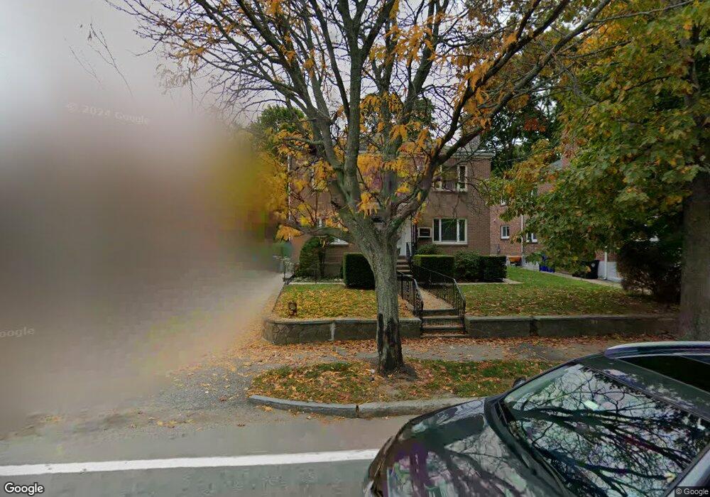
744 Boylston St Chestnut Hill, MA 02467
Chestnut Hill NeighborhoodEstimated Value: $1,915,000 - $2,209,000
6
Beds
4
Baths
3,230
Sq Ft
$640/Sq Ft
Est. Value
About This Home
This home is located at 744 Boylston St, Chestnut Hill, MA 02467 and is currently estimated at $2,068,020, approximately $640 per square foot. 744 Boylston St is a home located in Norfolk County with nearby schools including Heath Elementary School, Maimonides School, and Brimmer & May School.
Ownership History
Date
Name
Owned For
Owner Type
Purchase Details
Closed on
Dec 23, 2015
Sold by
Dimarco Marie B
Bought by
744 Boylston Street Llc
Current Estimated Value
Purchase Details
Closed on
Aug 7, 1985
Bought by
Dimarco Marie B
Create a Home Valuation Report for This Property
The Home Valuation Report is an in-depth analysis detailing your home's value as well as a comparison with similar homes in the area
Home Values in the Area
Average Home Value in this Area
Purchase History
| Date | Buyer | Sale Price | Title Company |
|---|---|---|---|
| 744 Boylston Street Llc | -- | -- | |
| Dimarco Marie B | -- | -- |
Source: Public Records
Mortgage History
| Date | Status | Borrower | Loan Amount |
|---|---|---|---|
| Previous Owner | Dimarco Marie B | $78,500 |
Source: Public Records
Tax History Compared to Growth
Tax History
| Year | Tax Paid | Tax Assessment Tax Assessment Total Assessment is a certain percentage of the fair market value that is determined by local assessors to be the total taxable value of land and additions on the property. | Land | Improvement |
|---|---|---|---|---|
| 2025 | $16,509 | $1,672,600 | $718,400 | $954,200 |
| 2024 | $16,337 | $1,672,200 | $690,800 | $981,400 |
| 2023 | $16,239 | $1,628,800 | $629,400 | $999,400 |
| 2022 | $15,807 | $1,551,200 | $599,400 | $951,800 |
| 2021 | $14,618 | $1,491,600 | $576,400 | $915,200 |
| 2020 | $13,912 | $1,472,200 | $524,000 | $948,200 |
| 2019 | $13,138 | $1,402,100 | $499,000 | $903,100 |
| 2018 | $12,533 | $1,324,800 | $490,700 | $834,100 |
| 2017 | $12,119 | $1,226,600 | $462,800 | $763,800 |
| 2016 | $11,619 | $1,115,100 | $432,500 | $682,600 |
| 2015 | $10,827 | $1,013,800 | $404,300 | $609,500 |
| 2014 | $10,649 | $934,900 | $371,700 | $563,200 |
Source: Public Records
Map
Nearby Homes
- 675 Chestnut Hill Ave
- 55 Reservoir Rd Unit 2
- 88 Cutler Ln
- 55 Leicester St
- 30 Ackers Ave
- 59 Ackers Ave Unit 1
- 372 Warren St
- 120 Seaver St Unit A103
- 120 Seaver St Unit C-102
- 39 Clyde St
- 80 Dudley St
- 540 Chestnut Hill Ave
- 130 Cabot St
- 469 Walnut St
- 9 Willard Rd
- 71 Sears Rd
- 142 Crafts Rd
- 487 Boylston St Unit 3
- 335 Heath St
- 1014 Boylston St
- 744 Boylston St Unit 2
- 744 Boylston St Unit 1
- 740 Boylston St
- 740 Boylston St Unit 2
- 740 Boylston St
- 748 Boylston St Unit 2
- 748 Boylston St Unit 1
- 752 Boylston St
- 752 Boylston St Unit 1
- 752 Boylston St Unit 2
- 734 Boylston St
- 734 Boylston St
- 734 Boylston St
- 734 Boylston St Unit n/a
- 31 Heath St
- 31 Heath St
- 31 Heath St Unit 1
- 31 Heath St Unit 2
- 20 Eliot St
- 20 Eliot St Unit Eliot St