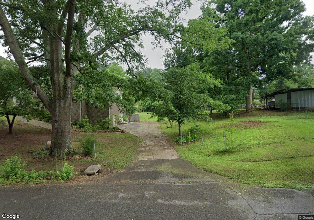
744 Dates Cir Bessemer, AL 35023
Rock Creek NeighborhoodEstimated Value: $206,000 - $254,438
3
Beds
3
Baths
1,676
Sq Ft
$135/Sq Ft
Est. Value
About This Home
This home is located at 744 Dates Cir, Bessemer, AL 35023 and is currently estimated at $226,110, approximately $134 per square foot. 744 Dates Cir is a home located in Jefferson County with nearby schools including Concord Elementary School, Hueytown Middle School, and Hueytown High School.
Ownership History
Date
Name
Owned For
Owner Type
Purchase Details
Closed on
May 13, 2024
Sold by
Melton James W and Melton Linda
Bought by
Finney April and Melton James Wesley
Current Estimated Value
Purchase Details
Closed on
Aug 16, 2007
Sold by
Federal Home Loan Mortgage Corporation
Bought by
Melton James W and Melton Linda L
Home Financials for this Owner
Home Financials are based on the most recent Mortgage that was taken out on this home.
Original Mortgage
$125,010
Interest Rate
6.49%
Mortgage Type
Purchase Money Mortgage
Purchase Details
Closed on
Jun 30, 1998
Sold by
Hester Patricia A
Bought by
Boggs Robert J and Boggs Sherry M
Home Financials for this Owner
Home Financials are based on the most recent Mortgage that was taken out on this home.
Original Mortgage
$95,202
Interest Rate
7.04%
Mortgage Type
FHA
Create a Home Valuation Report for This Property
The Home Valuation Report is an in-depth analysis detailing your home's value as well as a comparison with similar homes in the area
Home Values in the Area
Average Home Value in this Area
Purchase History
| Date | Buyer | Sale Price | Title Company |
|---|---|---|---|
| Finney April | $224,000 | None Listed On Document | |
| Melton James W | $138,900 | Chicago Title | |
| Boggs Robert J | $96,000 | -- |
Source: Public Records
Mortgage History
| Date | Status | Borrower | Loan Amount |
|---|---|---|---|
| Previous Owner | Melton James W | $125,010 | |
| Previous Owner | Boggs Robert J | $95,202 |
Source: Public Records
Tax History Compared to Growth
Tax History
| Year | Tax Paid | Tax Assessment Tax Assessment Total Assessment is a certain percentage of the fair market value that is determined by local assessors to be the total taxable value of land and additions on the property. | Land | Improvement |
|---|---|---|---|---|
| 2024 | -- | $24,680 | -- | -- |
| 2022 | $0 | $19,870 | $3,000 | $16,870 |
| 2021 | $0 | $16,260 | $3,000 | $13,260 |
| 2020 | $0 | $16,710 | $3,000 | $13,710 |
| 2019 | $0 | $15,920 | $0 | $0 |
| 2018 | $0 | $14,460 | $0 | $0 |
| 2017 | $0 | $14,460 | $0 | $0 |
| 2016 | $413 | $14,460 | $0 | $0 |
| 2015 | $413 | $14,460 | $0 | $0 |
| 2014 | $413 | $14,540 | $0 | $0 |
| 2013 | $413 | $14,540 | $0 | $0 |
Source: Public Records
Map
Nearby Homes
- 637 Rice Dr
- 1097 Sunny Dell Ln
- 6827 Sunny Dell Dr
- 1173 Stephens Rd Unit 1
- 1301 Patton Rd
- 1620 Old Rock Creek Rd
- 1401 Old Rock Creek Rd
- 1332 Park Rd
- 1033 Justice Dr
- 6380 Warrior River Rd
- 7805 Rock Creek Cir
- 7523 Auburn Ln
- 1507 Steve Crowder Rd
- 927 Bending Creek Dr
- 7600 15th Street Rd
- 6200 Warrior River Rd
- 7940 15th Street Rd
- 7508 15th Street Rd
- 6488 William Dr Unit 4
- 8609 Creek Run Unit /29
- 728 Dates Cir
- 728 Dates Cir Unit 3.34 AC
- 780 Dates Cir
- 762 Dates Cir
- 737 Dates Cir
- 790 Dates Cir
- 745 Dates Cir
- 712 Dates Cir
- 711 Dates Cir
- 704 Dates Cir
- 751 Dates Cir
- 702 Dates Cir
- 701 Dates Cir
- 798 Dates Cir
- 7476 Franklin Dr
- 7456 Franklin Dr
- 7444 Franklin Dr
- 665 Dates Cir Unit 665
- 7512 Chase Way
- 7516 Chase Way
