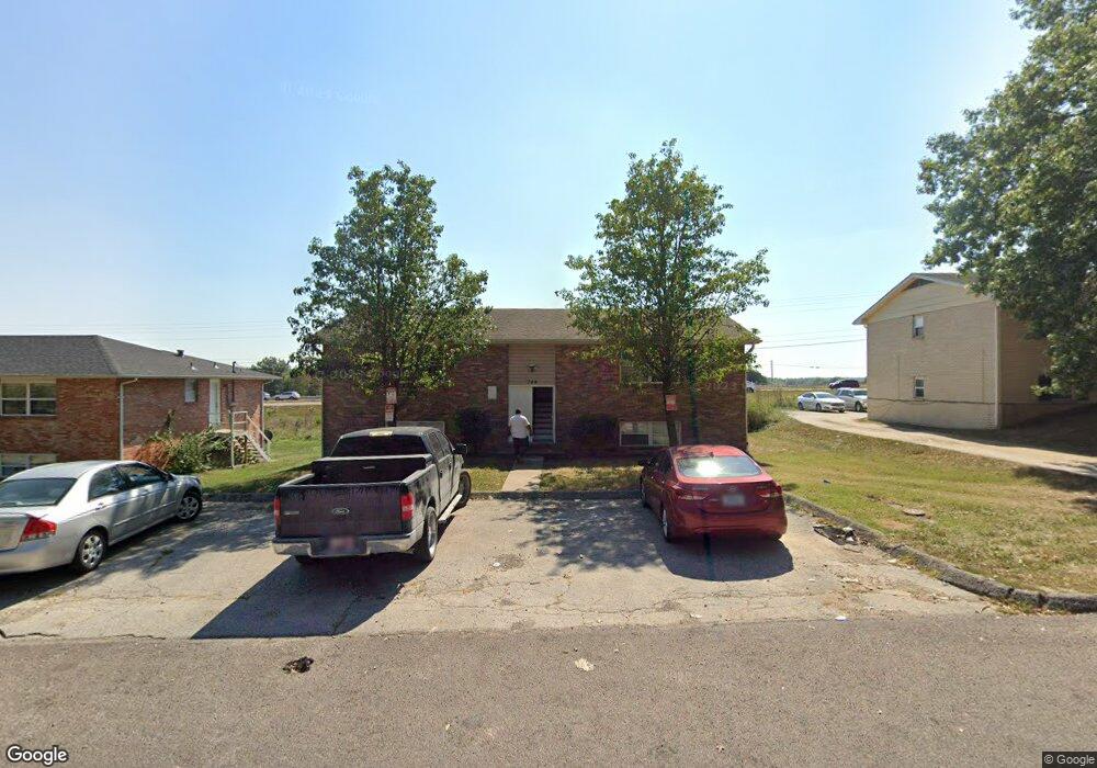
744 Demaret Apt A-D Columbia, MO 65202
Estimated Value: $221,000 - $247,000
8
Beds
4
Baths
3,200
Sq Ft
$72/Sq Ft
Est. Value
About This Home
This home is located at 744 Demaret Apt A-D, Columbia, MO 65202 and is currently estimated at $231,667, approximately $72 per square foot. 744 Demaret Apt A-D is a home located in Boone County with nearby schools including Eliot Battle Elementary School, John B. Lange Middle School, and Muriel W. Battle High School.
Ownership History
Date
Name
Owned For
Owner Type
Purchase Details
Closed on
May 20, 2009
Sold by
Seitz Donald E and Cook Justin
Bought by
Mutual Holdings Llc
Current Estimated Value
Purchase Details
Closed on
Nov 8, 2007
Sold by
Hsbc Bank Usa Na
Bought by
Seitz Don and Cook Justin
Home Financials for this Owner
Home Financials are based on the most recent Mortgage that was taken out on this home.
Original Mortgage
$85,500
Interest Rate
6.38%
Mortgage Type
Future Advance Clause Open End Mortgage
Purchase Details
Closed on
Aug 27, 2007
Sold by
Huskey Terry
Bought by
Hsbc Bank Usa Na
Purchase Details
Closed on
Aug 22, 2005
Sold by
D X 2 Llc
Bought by
Huskey Terry
Home Financials for this Owner
Home Financials are based on the most recent Mortgage that was taken out on this home.
Original Mortgage
$116,840
Interest Rate
8.3%
Mortgage Type
Adjustable Rate Mortgage/ARM
Create a Home Valuation Report for This Property
The Home Valuation Report is an in-depth analysis detailing your home's value as well as a comparison with similar homes in the area
Home Values in the Area
Average Home Value in this Area
Purchase History
| Date | Buyer | Sale Price | Title Company |
|---|---|---|---|
| Mutual Holdings Llc | -- | Boone Central Title Company | |
| Seitz Don | -- | None Available | |
| Hsbc Bank Usa Na | -- | None Available | |
| Huskey Terry | -- | Boone Central Title Co |
Source: Public Records
Mortgage History
| Date | Status | Borrower | Loan Amount |
|---|---|---|---|
| Previous Owner | Seitz Don | $85,500 | |
| Previous Owner | Huskey Terry | $116,840 |
Source: Public Records
Tax History Compared to Growth
Tax History
| Year | Tax Paid | Tax Assessment Tax Assessment Total Assessment is a certain percentage of the fair market value that is determined by local assessors to be the total taxable value of land and additions on the property. | Land | Improvement |
|---|---|---|---|---|
| 2025 | $1,565 | $21,641 | $2,869 | $18,772 |
| 2024 | $1,565 | $21,641 | $2,869 | $18,772 |
| 2023 | $1,552 | $21,641 | $2,869 | $18,772 |
| 2022 | $1,550 | $21,641 | $2,869 | $18,772 |
| 2021 | $1,553 | $21,641 | $2,869 | $18,772 |
| 2020 | $1,524 | $20,045 | $2,869 | $17,176 |
| 2019 | $1,524 | $20,045 | $2,869 | $17,176 |
| 2018 | $1,534 | $0 | $0 | $0 |
| 2017 | $1,514 | $20,045 | $2,869 | $17,176 |
| 2016 | $1,514 | $20,045 | $2,869 | $17,176 |
| 2015 | $1,398 | $20,045 | $2,869 | $17,176 |
| 2014 | $1,401 | $20,045 | $2,869 | $17,176 |
Source: Public Records
Map
Nearby Homes
- 6007 E Saint Charles Rd
- 6003 E St Charles Rd
- 1312 N Lake of the Woods Rd
- 1312 N Lake of the Wood
- 1537 N Lake of the Woods Rd
- 300 Searsport Dr
- 5800 Oswago Cir
- 6077 E Locust Grove Dr
- 5802 Islip Dr
- 5904 Freeport Way
- 5806 Freeport Way
- 9830 Interstate 70 Dr SE
- 5607 Murfreesboro Dr
- LOT 22 Murfreesboro Dr
- 6900 Armstrong Dr
- 5506 Murfreesboro Dr
- LOT 105 Portcrawl Dr
- LOT 104 Portcrawl Dr
- LOT 113 Portcrawl Dr
- 6517 Portcrawl Dr
- 744 Demaret Dr
- 742 Demaret Dr
- 742 Demaret Dr Unit 3
- 742 Demaret Dr Unit 1
- 746 Demaret Dr
- 740 Demaret Dr
- 748 Demaret Dr
- 745 Demaret Dr
- 745 Demaret Dr Unit A&B
- 747 Demaret Dr
- 743 Demaret Dr
- 749 Demaret Dr
- 738 Demaret Dr
- 750 Demaret Dr
- 741 Demaret Dr
- 310AB Hogan Dr
- 310 Hogan Dr
- 237 Sarazen Dr
- 739 Demaret Dr
- 239 Sarazen Dr