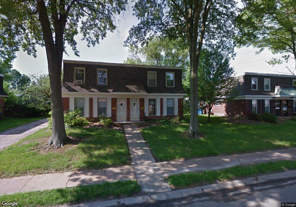
744 Harvard Dr Edwardsville, IL 62025
Estimated Value: $255,199 - $351,000
--
Bed
2
Baths
1,353
Sq Ft
$224/Sq Ft
Est. Value
About This Home
This home is located at 744 Harvard Dr, Edwardsville, IL 62025 and is currently estimated at $303,300, approximately $224 per square foot. 744 Harvard Dr is a home located in Madison County with nearby schools including LeClaire Elementary School, Columbus Elementary School, and Liberty Middle School.
Ownership History
Date
Name
Owned For
Owner Type
Purchase Details
Closed on
Apr 20, 2021
Sold by
Allen Price Properties Llc
Bought by
Ps Rentals Llc
Current Estimated Value
Home Financials for this Owner
Home Financials are based on the most recent Mortgage that was taken out on this home.
Original Mortgage
$183,920
Outstanding Balance
$167,980
Interest Rate
3.75%
Mortgage Type
New Conventional
Estimated Equity
$135,320
Purchase Details
Closed on
Jul 9, 2012
Sold by
Price Allen R
Bought by
Allen Price Properties Llc
Create a Home Valuation Report for This Property
The Home Valuation Report is an in-depth analysis detailing your home's value as well as a comparison with similar homes in the area
Home Values in the Area
Average Home Value in this Area
Purchase History
| Date | Buyer | Sale Price | Title Company |
|---|---|---|---|
| Ps Rentals Llc | $220,000 | Abstracts & Titles | |
| Allen Price Properties Llc | -- | None Available |
Source: Public Records
Mortgage History
| Date | Status | Borrower | Loan Amount |
|---|---|---|---|
| Open | Ps Rentals Llc | $183,920 |
Source: Public Records
Tax History Compared to Growth
Tax History
| Year | Tax Paid | Tax Assessment Tax Assessment Total Assessment is a certain percentage of the fair market value that is determined by local assessors to be the total taxable value of land and additions on the property. | Land | Improvement |
|---|---|---|---|---|
| 2024 | $6,003 | $84,090 | $11,410 | $72,680 |
| 2023 | $6,003 | $78,040 | $10,590 | $67,450 |
| 2022 | $5,652 | $72,140 | $9,790 | $62,350 |
| 2021 | $5,090 | $68,470 | $9,290 | $59,180 |
| 2020 | $4,936 | $66,350 | $9,000 | $57,350 |
| 2019 | $4,905 | $65,240 | $8,850 | $56,390 |
| 2018 | $4,827 | $62,310 | $8,460 | $53,850 |
| 2017 | $4,704 | $60,990 | $8,280 | $52,710 |
| 2016 | $4,258 | $60,990 | $8,280 | $52,710 |
| 2015 | $4,097 | $56,540 | $7,680 | $48,860 |
| 2014 | $4,097 | $56,540 | $7,680 | $48,860 |
| 2013 | $4,097 | $56,540 | $7,680 | $48,860 |
Source: Public Records
Map
Nearby Homes
- 638 Yale Ave
- 500 Monticello Place
- 502 Jaime Lynn Ct
- 613 Jaime Lynn Ct
- 4 Hadley Ct
- 629 Bollman Ave
- 503 Bollman Ave
- 426 Roanoke Dr
- 116 Surrey Ln
- 424 Hadley Ave
- 1120 Franklin Ave
- 221 4th Ave
- 424 Circle Dr
- 7004 Seminary Ridge Ct
- 7008 Seminary Ridge Ct
- 112 Chattanooga Ct
- 18 Shiloh Ct
- 3478 Manassas Dr
- 6812 Quail Walk
- 808 Meade Ave
- 750 Harvard Dr
- 752 Harvard Dr
- 738 Harvard Dr
- 738 Harvard Dr
- 727 Slippery Rock Dr
- 725 Slippery Rock Dr
- 756 Harvard Dr
- 729 Slippery Rock Dr
- 723 Slippery Rock Dr Unit 2
- 731 Slippery Rock Dr
- 732 Harvard Dr
- 721 Slippery Rock Dr Unit 1
- 734 Harvard Dr
- 745 Harvard Dr
- 735 Slippery Rock Dr
- 739 Harvard Dr
- 751 Harvard Dr
- 717 Slippery Rock Dr
- 762 Harvard Dr
- 757 Harvard Dr