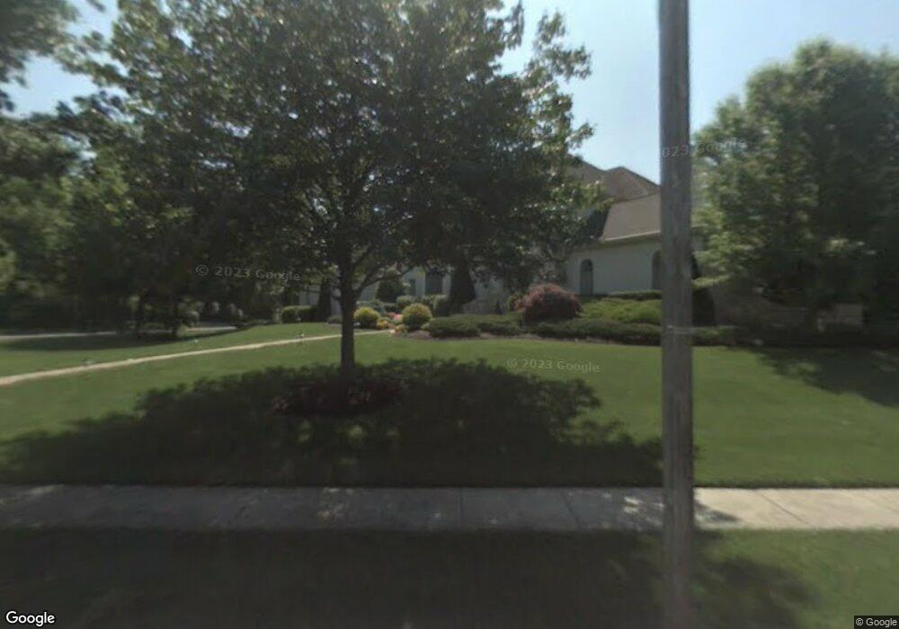
744 Jeffrey Rd Moorestown, NJ 08057
Estimated Value: $1,673,000 - $2,059,000
5
Beds
8
Baths
6,000
Sq Ft
$305/Sq Ft
Est. Value
About This Home
This home is located at 744 Jeffrey Rd, Moorestown, NJ 08057 and is currently estimated at $1,829,679, approximately $304 per square foot. 744 Jeffrey Rd is a home located in Burlington County with nearby schools including George C. Baker Elementary School, Moorestown Upper Elementary School, and William Allen Middle School.
Ownership History
Date
Name
Owned For
Owner Type
Purchase Details
Closed on
May 14, 2012
Sold by
Jones Richard W and Jones Carol J
Bought by
Burris Linda
Current Estimated Value
Home Financials for this Owner
Home Financials are based on the most recent Mortgage that was taken out on this home.
Original Mortgage
$665,000
Outstanding Balance
$355,478
Interest Rate
2.25%
Mortgage Type
Adjustable Rate Mortgage/ARM
Estimated Equity
$1,474,201
Create a Home Valuation Report for This Property
The Home Valuation Report is an in-depth analysis detailing your home's value as well as a comparison with similar homes in the area
Home Values in the Area
Average Home Value in this Area
Purchase History
| Date | Buyer | Sale Price | Title Company |
|---|---|---|---|
| Burris Linda | $925,000 | Infinity Title Agency Inc |
Source: Public Records
Mortgage History
| Date | Status | Borrower | Loan Amount |
|---|---|---|---|
| Open | Burris Linda | $665,000 |
Source: Public Records
Tax History Compared to Growth
Tax History
| Year | Tax Paid | Tax Assessment Tax Assessment Total Assessment is a certain percentage of the fair market value that is determined by local assessors to be the total taxable value of land and additions on the property. | Land | Improvement |
|---|---|---|---|---|
| 2025 | $27,213 | $959,200 | $176,600 | $782,600 |
| 2024 | $26,388 | $959,200 | $176,600 | $782,600 |
| 2023 | $26,388 | $959,200 | $176,600 | $782,600 |
| 2022 | $26,119 | $959,200 | $176,600 | $782,600 |
| 2021 | $25,774 | $959,200 | $176,600 | $782,600 |
| 2020 | $25,611 | $959,200 | $176,600 | $782,600 |
| 2019 | $25,160 | $959,200 | $176,600 | $782,600 |
| 2018 | $24,479 | $959,200 | $176,600 | $782,600 |
| 2017 | $24,690 | $959,200 | $176,600 | $782,600 |
| 2016 | $24,603 | $959,200 | $176,600 | $782,600 |
| 2015 | $24,306 | $959,200 | $176,600 | $782,600 |
| 2014 | $23,078 | $959,200 | $176,600 | $782,600 |
Source: Public Records
Map
Nearby Homes
- 863 Golf View Rd
- 543 Bethel Ave
- 25 Oriole Way
- 2801 Riverton Rd
- 308 Farmdale Rd
- 316 Farmdale Rd
- 744 Signal Light Rd
- 343 Tom Brown Rd
- 205 E Central Ave
- 50 E 3rd St
- 66 E 3rd St
- 347 Tom Brown Rd
- 423 Park Blvd
- 82 E 3rd St
- 80 E 3rd St
- 15 E 2nd St
- 133 Plum St Unit 6
- 313 Fairview Ave
- 316 W 3rd St
- 308 Elm St
- 744 Jeffrey Rd
- 740 Jeffrey Rd
- 751 Mill St
- 746 Mill St
- 745 Lippincott Ave
- 732 Lippincott Ave
- 736 Jeffrey Rd
- 741 Jeffrey Rd
- 743 Lippincott Ave
- 564 Bartram Rd
- 737 Jamie Dr
- 560 Bartram Rd
- 741 Mill St
- 566 Bartram Rd
- 728 Lippincott Ave
- 730 Lippincott Ave
- 737 Jeffrey Rd
- 741 Lippincott Ave
- 740 Jamie Dr
- 726 Lippincott Ave