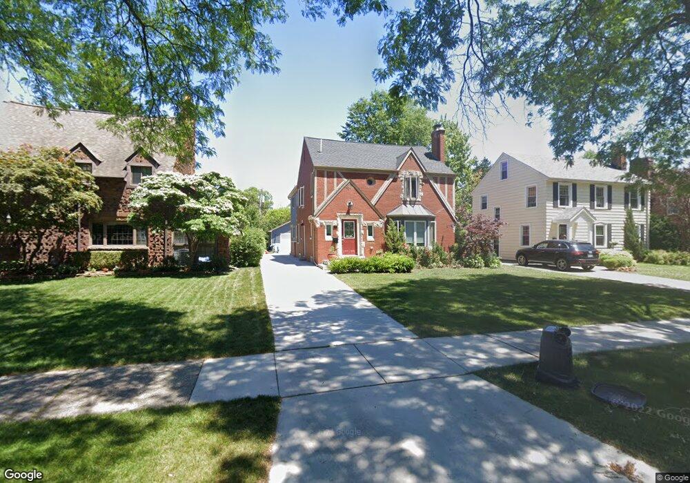
744 Lincoln Rd Unit Bldg-Unit Grosse Pointe, MI 48230
Estimated Value: $675,000 - $733,779
Studio
5
Baths
2,604
Sq Ft
$267/Sq Ft
Est. Value
About This Home
This home is located at 744 Lincoln Rd Unit Bldg-Unit, Grosse Pointe, MI 48230 and is currently estimated at $695,695, approximately $267 per square foot. 744 Lincoln Rd Unit Bldg-Unit is a home located in Wayne County with nearby schools including Richard Elementary School, Brownell Middle School, and Grosse Pointe South High School.
Ownership History
Date
Name
Owned For
Owner Type
Purchase Details
Closed on
Sep 10, 2019
Sold by
Stc Three Llc
Bought by
Petriello Michael and Petriello Stephanie
Current Estimated Value
Home Financials for this Owner
Home Financials are based on the most recent Mortgage that was taken out on this home.
Original Mortgage
$484,350
Outstanding Balance
$424,253
Interest Rate
3.6%
Mortgage Type
New Conventional
Estimated Equity
$271,442
Purchase Details
Closed on
Dec 1, 2017
Sold by
The Estate Of Ruth Whipple
Bought by
Stc Three Llc
Create a Home Valuation Report for This Property
The Home Valuation Report is an in-depth analysis detailing your home's value as well as a comparison with similar homes in the area
Home Values in the Area
Average Home Value in this Area
Purchase History
| Date | Buyer | Sale Price | Title Company |
|---|---|---|---|
| Petriello Michael | $555,000 | None Available | |
| Stc Three Llc | $145,000 | None Available |
Source: Public Records
Mortgage History
| Date | Status | Borrower | Loan Amount |
|---|---|---|---|
| Open | Petriello Michael | $484,350 |
Source: Public Records
Tax History
| Year | Tax Paid | Tax Assessment Tax Assessment Total Assessment is a certain percentage of the fair market value that is determined by local assessors to be the total taxable value of land and additions on the property. | Land | Improvement |
|---|---|---|---|---|
| 2025 | $9,849 | $305,500 | $0 | $0 |
| 2024 | $9,518 | $300,300 | $0 | $0 |
| 2023 | $9,077 | $272,700 | $0 | $0 |
| 2022 | $13,137 | $260,700 | $0 | $0 |
| 2021 | $12,456 | $249,500 | $0 | $0 |
| 2019 | $14,787 | $224,000 | $0 | $0 |
| 2018 | $5,341 | $152,000 | $0 | $0 |
| 2017 | $4,203 | $150,100 | $0 | $0 |
| 2016 | $5,992 | $143,600 | $0 | $0 |
| 2015 | $11,363 | $130,200 | $0 | $0 |
| 2013 | $11,008 | $115,500 | $0 | $0 |
| 2012 | -- | $107,500 | $0 | $0 |
Source: Public Records
Map
Nearby Homes
- 719 Fisher Rd
- 256 Fisher Rd
- 285 Mcmillan Rd
- 341 Mcmillan Rd
- 201 Mcmillan Rd
- 180 Fisher Rd
- 194 Charlevoix Ave
- 614 Rivard Blvd
- 577 Washington Rd
- 259 Mount Vernon Ave
- 17590 Mack Ave Unit 8
- 17540 Mack Ave Unit 10
- 302 Mount Vernon Ave
- 314 Mount Vernon Ave
- 407 Moran Rd
- 171 Merriweather Rd
- 4082 Hereford St
- 771 Saint Clair Ave
- 4104 Woodhall St
- 4496 Radnor St
Your Personal Tour Guide
Ask me questions while you tour the home.