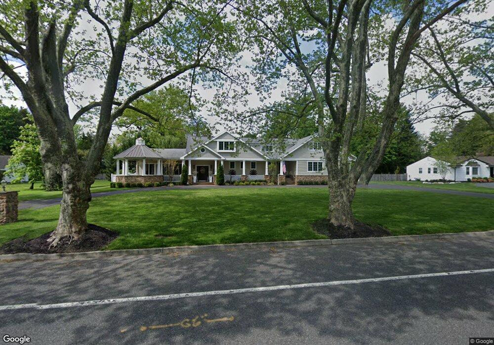
744 N Stanwick Rd Moorestown, NJ 08057
Estimated Value: $1,246,000 - $1,452,782
Studio
--
Bath
4,587
Sq Ft
$300/Sq Ft
Est. Value
About This Home
This home is located at 744 N Stanwick Rd, Moorestown, NJ 08057 and is currently estimated at $1,376,927, approximately $300 per square foot. 744 N Stanwick Rd is a home located in Burlington County with nearby schools including George C. Baker Elementary School, Moorestown Upper Elementary School, and William Allen Middle School.
Ownership History
Date
Name
Owned For
Owner Type
Purchase Details
Closed on
Apr 29, 2005
Sold by
Raines Lindsley A and Linn Steven
Bought by
Schlindwein Samuel and Schlindwein Mary
Current Estimated Value
Purchase Details
Closed on
Jun 29, 2004
Sold by
Kowalchick Michael K and Kowalchick Ann Elizabeth
Bought by
Linn Steven and Raines Lindsley A
Home Financials for this Owner
Home Financials are based on the most recent Mortgage that was taken out on this home.
Original Mortgage
$99,900
Interest Rate
5.67%
Mortgage Type
Credit Line Revolving
Create a Home Valuation Report for This Property
The Home Valuation Report is an in-depth analysis detailing your home's value as well as a comparison with similar homes in the area
Home Values in the Area
Average Home Value in this Area
Purchase History
| Date | Buyer | Sale Price | Title Company |
|---|---|---|---|
| Schlindwein Samuel | $609,000 | American Home Title Agency I | |
| Linn Steven | $545,000 | Infinity Title Agency Inc |
Source: Public Records
Mortgage History
| Date | Status | Borrower | Loan Amount |
|---|---|---|---|
| Previous Owner | Linn Steven | $99,900 | |
| Previous Owner | Linn Steven | $333,700 |
Source: Public Records
Tax History
| Year | Tax Paid | Tax Assessment Tax Assessment Total Assessment is a certain percentage of the fair market value that is determined by local assessors to be the total taxable value of land and additions on the property. | Land | Improvement |
|---|---|---|---|---|
| 2025 | $22,424 | $790,400 | $303,800 | $486,600 |
| 2024 | $21,744 | $790,400 | $303,800 | $486,600 |
| 2023 | $21,744 | $790,400 | $303,800 | $486,600 |
| 2022 | $21,523 | $790,400 | $303,800 | $486,600 |
| 2021 | $21,094 | $790,400 | $303,800 | $486,600 |
| 2020 | $21,104 | $790,400 | $303,800 | $486,600 |
| 2019 | $20,732 | $790,400 | $303,800 | $486,600 |
| 2018 | $20,171 | $790,400 | $303,800 | $486,600 |
| 2017 | $20,345 | $790,400 | $303,800 | $486,600 |
| 2016 | $20,274 | $790,400 | $303,800 | $486,600 |
| 2015 | $20,029 | $790,400 | $303,800 | $486,600 |
| 2014 | $19,017 | $790,400 | $303,800 | $486,600 |
Source: Public Records
Map
Nearby Homes
- 744 Signal Light Rd
- 863 Golf View Rd
- 408 N Stanwick Rd
- 205 E Central Ave
- 437 Windrow Clusters Dr
- 628 Windsock Way
- 308 Elm St
- 700 Lippincott Ave
- 325 E 2nd St
- 337 E 2nd St
- 133 Plum St Unit 6
- 451 E 2nd St
- 80 E 3rd St
- 127 Schooley St
- 66 E 3rd St
- 526 E Main St
- 343 Tom Brown Rd
- 104 Mount Laurel Rd
- 347 Tom Brown Rd
- 228 Mill St
- 750 N Stanwick Rd
- 767 Golf View Rd
- 733 N Stanwick Rd
- 737 N Stanwick Rd
- 747 Golf View Rd
- 785 Golf View Rd
- 756 N Stanwick Rd
- 729 N Stanwick Rd
- 740 N Stanwick Rd
- 741 N Stanwick Rd
- 737 Golf View Rd
- 825 Golf View Rd
- 732 Signal Light Rd
- 736 Signal Light Rd
- 725 N Stanwick Rd
- 728 Signal Light Rd
- 760 N Stanwick Rd
- 740 Signal Light Rd
- 745 N Stanwick Rd
- 750 Golf View Rd
Your Personal Tour Guide
Ask me questions while you tour the home.