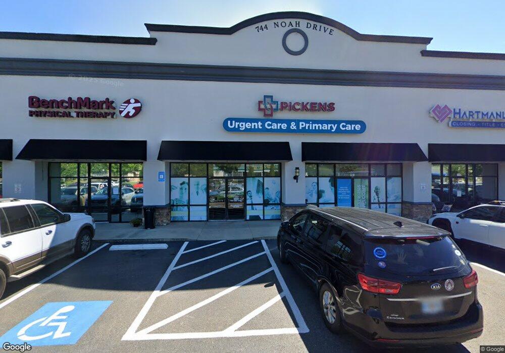
744 Noah Dr Jasper, GA 30143
Estimated Value: $5,553,484
--
Bed
1
Bath
27,440
Sq Ft
$202/Sq Ft
Est. Value
About This Home
This home is located at 744 Noah Dr, Jasper, GA 30143 and is currently estimated at $5,553,484, approximately $202 per square foot. 744 Noah Dr is a home located in Pickens County with nearby schools including Harmony Elementary School, Pickens County Middle School, and Pickens County High School.
Ownership History
Date
Name
Owned For
Owner Type
Purchase Details
Closed on
Jan 19, 2022
Sold by
744 Noah Drive Llc
Bought by
Hendon Jasper Llc
Current Estimated Value
Home Financials for this Owner
Home Financials are based on the most recent Mortgage that was taken out on this home.
Original Mortgage
$3,000,000
Outstanding Balance
$2,764,874
Interest Rate
3.11%
Mortgage Type
Mortgage Modification
Estimated Equity
$2,788,610
Purchase Details
Closed on
Jul 14, 2017
Bought by
744 Noah Drive Llc and C/O Hale Retail Grp
Home Financials for this Owner
Home Financials are based on the most recent Mortgage that was taken out on this home.
Original Mortgage
$2,850,000
Interest Rate
3.91%
Mortgage Type
Commercial
Purchase Details
Closed on
Aug 11, 2011
Sold by
Dmarc 2007-Cd5 Noah Drive Limited Partne
Bought by
Debs
Purchase Details
Closed on
Jan 4, 2011
Sold by
Rwm Jasper Center
Bought by
Dmarc 2007 Cd5 Noah Drive Limi
Create a Home Valuation Report for This Property
The Home Valuation Report is an in-depth analysis detailing your home's value as well as a comparison with similar homes in the area
Home Values in the Area
Average Home Value in this Area
Purchase History
| Date | Buyer | Sale Price | Title Company |
|---|---|---|---|
| Hendon Jasper Llc | $4,675,000 | -- | |
| 744 Noah Drive Llc | $3,760,000 | -- | |
| Debs | $1,500,000 | -- | |
| Dmarc 2007 Cd5 Noah Drive Limi | -- | -- | |
| Dmarc 2007 Cd5 Noah Drive Limi | -- | -- |
Source: Public Records
Mortgage History
| Date | Status | Borrower | Loan Amount |
|---|---|---|---|
| Open | Hendon Jasper Llc | $3,000,000 | |
| Previous Owner | 744 Noah Drive Llc | $2,850,000 |
Source: Public Records
Tax History Compared to Growth
Tax History
| Year | Tax Paid | Tax Assessment Tax Assessment Total Assessment is a certain percentage of the fair market value that is determined by local assessors to be the total taxable value of land and additions on the property. | Land | Improvement |
|---|---|---|---|---|
| 2024 | $46,075 | $1,810,771 | $522,600 | $1,288,171 |
| 2023 | $47,067 | $1,810,771 | $522,600 | $1,288,171 |
| 2022 | $35,265 | $1,733,930 | $462,600 | $1,271,330 |
| 2021 | $29,708 | $1,279,223 | $462,600 | $816,623 |
| 2020 | $28,710 | $1,279,223 | $462,600 | $816,623 |
| 2019 | $29,370 | $1,279,223 | $462,600 | $816,623 |
| 2018 | $29,647 | $1,279,223 | $462,600 | $816,623 |
| 2017 | $30,130 | $1,279,223 | $462,600 | $816,623 |
Source: Public Records
Map
Nearby Homes
- 6 Summit View Ln
- 2 Summit View Ln
- 2 Summit View Ln Unit 2
- 9 Summit View Ln
- 3 Summit View Ln Unit 3
- 57 Mountain View Cir
- 304 Myrtle St
- 91 Clarence St
- 209 Hyde Rd
- 251 Deerberry Dr
- 10 Kane Dr
- 438 Southbrook Dr
- 241 Deerberry Dr
- 2574 Highway 53 W
- 491 Hyde Rd
- 133 Rolling Meadow
- 9 Summit St Unit 9
- 77 Rolling Meadow Trace
- 744 Noah Dr Unit 103
- 744 Noah Dr Unit 115
- 744 Noah Dr Unit 104
- 744 Noah Dr Unit 102
- 744 Noah Dr Unit 110
- 744 Noah Dr Unit 111
- 744 Noah Dr Unit 113
- 744 Noah Dr Unit 106
- 777 Noah Dr Unit 5A
- 777 Noah Dr
- 103 Noah Dr Unit 103
- 103 Noah Dr
- 0 Noah Dr Unit 3 7196540
- 0 Noah Dr Unit 7200387
- 0 Noah Dr Unit 3052631
- 0 Noah Dr Unit 7 7170870
- 0 Noah Dr Unit 7296066
- 0 Noah Dr Unit 7381026
- 0 Noah Dr Unit 7561416
- Lot 9A Noah Dr