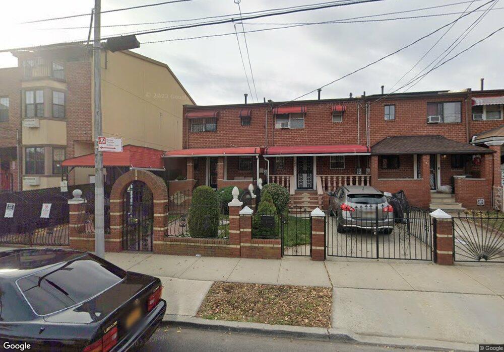
744 Sackman St Brooklyn, NY 11212
Brownsville NeighborhoodEstimated Value: $579,000 - $676,000
Studio
--
Bath
1,148
Sq Ft
$548/Sq Ft
Est. Value
About This Home
This home is located at 744 Sackman St, Brooklyn, NY 11212 and is currently estimated at $629,013, approximately $547 per square foot. 744 Sackman St is a home located in Kings County with nearby schools including P.S. 165 Ida Posner, P.S. 150 - Christopher, and P.S. Is 155 Nicholas Herkimer.
Ownership History
Date
Name
Owned For
Owner Type
Purchase Details
Closed on
Oct 17, 2000
Sold by
Canady Darlene
Bought by
Clouden Robert and Clouden Claudette
Current Estimated Value
Home Financials for this Owner
Home Financials are based on the most recent Mortgage that was taken out on this home.
Original Mortgage
$100,000
Interest Rate
7.76%
Mortgage Type
Purchase Money Mortgage
Create a Home Valuation Report for This Property
The Home Valuation Report is an in-depth analysis detailing your home's value as well as a comparison with similar homes in the area
Home Values in the Area
Average Home Value in this Area
Purchase History
| Date | Buyer | Sale Price | Title Company |
|---|---|---|---|
| Clouden Robert | $130,000 | -- |
Source: Public Records
Mortgage History
| Date | Status | Borrower | Loan Amount |
|---|---|---|---|
| Closed | Clouden Robert | $100,000 |
Source: Public Records
Tax History
| Year | Tax Paid | Tax Assessment Tax Assessment Total Assessment is a certain percentage of the fair market value that is determined by local assessors to be the total taxable value of land and additions on the property. | Land | Improvement |
|---|---|---|---|---|
| 2025 | $4,117 | $33,540 | $13,560 | $19,980 |
| 2024 | $4,117 | $32,160 | $13,560 | $18,600 |
| 2023 | $4,163 | $36,960 | $13,560 | $23,400 |
| 2022 | $4,069 | $37,260 | $13,560 | $23,700 |
| 2021 | $4,018 | $31,320 | $13,560 | $17,760 |
| 2019 | $3,524 | $25,440 | $13,560 | $11,880 |
| 2018 | $3,422 | $18,247 | $11,551 | $6,696 |
| 2017 | $3,352 | $17,914 | $11,803 | $6,111 |
| 2016 | $3,105 | $17,083 | $12,617 | $4,466 |
| 2015 | $1,819 | $16,117 | $11,222 | $4,895 |
| 2014 | $1,819 | $15,206 | $10,246 | $4,960 |
Source: Public Records
Map
Nearby Homes
- 592 Powell St
- 699 Sackman St
- 797 Mother Gaston Blvd
- 555 Christopher Ave
- 546 Powell St
- 578 Christopher Ave
- 625 Sackman St
- 892 Mother Gaston Blvd
- 584 Hinsdale St
- 533 Snediker Ave
- 1753 Linden Blvd
- 589 Hinsdale St
- 1755 Linden Blvd
- 923 Rockaway Ave
- 650 Williams Ave
- 660 Williams Ave
- 582 Williams Ave
- 578 Williams Ave
- 610 Alabama Ave
- 606 Alabama Ave
- 742 Sackman St
- 746 Sackman St
- 740 Sackman St
- 748 Sackman St
- 738 Sackman St
- 736 Sackman St
- 750 Sackman St
- 750 Sackman St Unit 2
- 734 Sackman St
- 754 Sackman St
- 525 Christopher Ave
- 523 Christopher Ave
- 527 Christopher Ave
- 521 Christopher Ave
- 289 Lott Ave
- 732 Sackman St
- 519 Christopher Ave
- 756 Sackman St
- 517 Christopher Ave
- 730 Sackman St
Your Personal Tour Guide
Ask me questions while you tour the home.