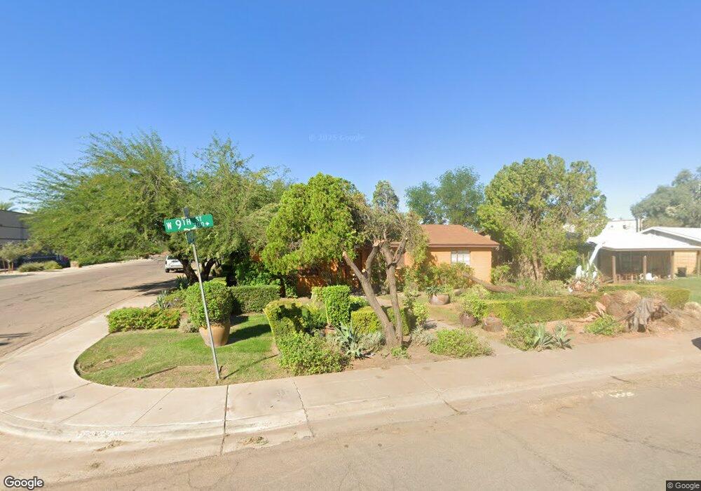
744 W 9th St Tempe, AZ 85281
Mitchell Park West NeighborhoodEstimated Value: $350,000 - $517,000
Studio
1
Bath
1,474
Sq Ft
$300/Sq Ft
Est. Value
About This Home
This home is located at 744 W 9th St, Tempe, AZ 85281 and is currently estimated at $442,326, approximately $300 per square foot. 744 W 9th St is a home located in Maricopa County with nearby schools including Geneva Epps Mosley Middle School, Tempe High School, and New School for the Arts & Academics.
Ownership History
Date
Name
Owned For
Owner Type
Purchase Details
Closed on
Oct 31, 2006
Sold by
Hawkins Barbara
Bought by
Barger Trevor T
Current Estimated Value
Home Financials for this Owner
Home Financials are based on the most recent Mortgage that was taken out on this home.
Original Mortgage
$215,200
Outstanding Balance
$127,792
Interest Rate
6.28%
Mortgage Type
New Conventional
Estimated Equity
$314,534
Create a Home Valuation Report for This Property
The Home Valuation Report is an in-depth analysis detailing your home's value as well as a comparison with similar homes in the area
Home Values in the Area
Average Home Value in this Area
Purchase History
| Date | Buyer | Sale Price | Title Company |
|---|---|---|---|
| Barger Trevor T | $269,000 | Magnus Title Agency |
Source: Public Records
Mortgage History
| Date | Status | Borrower | Loan Amount |
|---|---|---|---|
| Open | Barger Trevor T | $215,200 |
Source: Public Records
Tax History
| Year | Tax Paid | Tax Assessment Tax Assessment Total Assessment is a certain percentage of the fair market value that is determined by local assessors to be the total taxable value of land and additions on the property. | Land | Improvement |
|---|---|---|---|---|
| 2025 | $2,081 | $17,360 | -- | -- |
| 2024 | $1,921 | $16,533 | -- | -- |
| 2023 | $1,921 | $35,450 | $7,090 | $28,360 |
| 2022 | $1,843 | $26,300 | $5,260 | $21,040 |
| 2021 | $1,856 | $24,520 | $4,900 | $19,620 |
| 2020 | $1,799 | $22,130 | $4,420 | $17,710 |
| 2019 | $1,765 | $20,630 | $4,120 | $16,510 |
| 2018 | $1,721 | $18,410 | $3,680 | $14,730 |
| 2017 | $1,670 | $16,910 | $3,380 | $13,530 |
| 2016 | $1,658 | $15,580 | $3,110 | $12,470 |
| 2015 | $1,593 | $13,020 | $2,600 | $10,420 |
Source: Public Records
Map
Nearby Homes
- 700 W University Dr Unit 122
- 700 W University Dr Unit 241
- 1052 W Elna Rae St
- 1111 W University Dr Unit 1028
- 1111 W University Dr Unit 3012
- 1111 W University Dr Unit 1016
- 1111 W University Dr Unit 3011
- 604 S Roosevelt St
- 616 S Hardy Dr Unit 116
- 915 S Wilson St Unit 4
- 919 S Wilson St Unit 5
- 637 S Roosevelt St
- 626 S Wilson St
- 826 W 12th St
- 510 W University Dr Unit 118
- 522 W Howe St
- 520 S Roosevelt St Unit 1001
- 820 S Farmer Ave
- 914 S Farmer Ave
- 606 S Wilson St
Your Personal Tour Guide
Ask me questions while you tour the home.